Harbours & ports · East Midlands
King's Lynn Docks
King's Lynn Docks is a harbour in the United Kingdom.

Wikimedia Commons contributors — see linked file page for photographer and licence licence
Plan your visit
- Typical visit
- 45 min–1.5 h
- Nearest railway station
- King's Lynn · 1.1 km
- Family-friendly
- Dog-friendly
About
King's Lynn Docks is a harbour in the United Kingdom. Coordinates: 52.7608°, 0.3918°. This entry is part of The Great Britain Guide, a free, ad-free, open-data tourist directory.
Photo gallery
Protected designations
- Area of Outstanding Natural Beauty: Norfolk Coast
Designations sourced from Natural England open data under OGL v3.
From the Wikipedia article
King's Lynn Docks are located to the north of the town of King's Lynn in the English county of Norfolk. They are on the River Great Ouse which provides access to the North Sea via the Lynn Channel and The Wash. They are located 39 miles (63 km) north of Cambridge, 40 miles (64 km) west of Norwich and 92 miles (148 km) north of London on the A1078 Edward Benefer Way. The docks are operated as the Port of King's Lynn by Associated British Ports. It handles around 400,000 tonnes of cargo per year, including forest products, agribulk and manufacturing and recycling materials. Three docks, including the tidal Riverside Quay, can accommodate vessels up to 140 metres (460 ft) in length. The docks cover an area of 39 hectares (96 acres) and include the 25,000 tonne capacity Alexandra Grain Silo complex.
Excerpt from Wikipedia under CC BY-SA 4.0. See the source article linked in Sources below.
Background
History
In the 13th century King's Lynn was one of England's most important ports. It attracted traders from the Hanseatic League trading for wool, cloth and salt. The port infrastructure developed in the 19th century following the formation of the by the (28 & 29 Vict. c. lxxxviii). This built the Alexandra Dock which was completed in 1869 and linked by rail in 1870. By 1876 over 500 ships were using the new dock each year. The larger Bentinck Dock with a length of 800 m was opened in 1883. The port has traditionally relied on exporting agricultural produce for the bulk of its traffic.
Sourced from Wikipedia under CC BY-SA 4.0.
- Coordinates
- 52.7608, 0.3918
- County
- Norfolk
- District
- King's Lynn and West Norfolk
- Parish
- King's Lynn and West Norfolk, unparished area
- Postcode
- PE30 2ET
- Parliamentary constituency
- North West Norfolk
- Nearest railway station
- King's Lynn — 1.1 km
- Official site
- truesyard.co.uk
Sources
- wikidata: Q6410995 (CC0)
- wikipedia: King's Lynn Docks (CC BY-SA 4.0)
- commons: Kings Lynn Docks.jpg (CC BY-SA 4.0)
Other places nearby
Loading nearby places…
Nearby
 📷 3
📷 3Museums · East Midlands
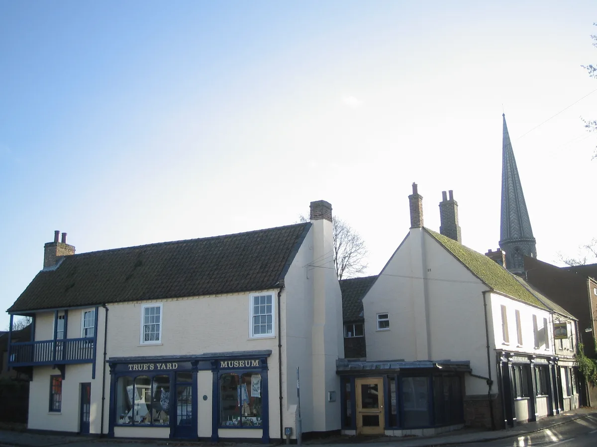
True's Yard Museum
True's Yard Museum — social history museum in King's Lynn, Norfolk.
 📷 3
📷 3Museums · East Midlands
True's Yard Fisherfolk Museum
True's Yard Fisherfolk Museum — a museum in england-east-midlands, United Kingdom.
.jpg?width=1200) 📷 3
📷 3Historic houses · East Midlands
Bishop's Lynn House
Bishop's Lynn House — house in King's Lynn and West Norfolk, Norfolk, England, UK.
 📷 3
📷 3Memorials & monuments · East Midlands
18 Tuesday Market Place
18 Tuesday Market Place — a memorial in england-east-midlands, United Kingdom.
.jpg?width=1200) 📷 3
📷 3Chapels · East Midlands
Chapel of St Nicholas
Chapel of St Nicholas — Grade I listed chapel in King's Lynn, Norfolk, England, UK.
 📷 3
📷 3Memorials & monuments · East Midlands
Sir Robert Walpole
Sir Robert Walpole — a memorial in england-east-midlands, United Kingdom.
More places in this region
 📷 3
📷 3Harbours & ports · East Midlands
Blakeney Harbour
Blakeney Harbour — harbour at Blakeney, Norfolk, England, UK.

Harbours & ports · East Midlands
Centre Port
Centre Port — Proposed development in Eastern England.
 📷 3
📷 3Harbours & ports · East Midlands
Wells Harbour
Wells Harbour — harbour in Wells next the Sea, Norfolk, England.
Frequently asked questions
- Where is King's Lynn Docks?
- King's Lynn Docks is in Norfolk, the East Midlands, United Kingdom (postcode PE30 2ET), in the parish of King's Lynn and West Norfolk, unparished area.
- Who owns King's Lynn Docks?
- King's Lynn Docks is owned by ABP (Jersey) Ltd.
- Is King's Lynn Docks a protected site?
- Yes — King's Lynn Docks is part of the Norfolk Coast National Landscape (AONB).
- How do I get to King's Lynn Docks?
- The nearest railway station is King's Lynn, about 1.1 km away. Drivers can navigate to postcode PE30 2ET.