Mountains & hills · North West England
Iron Crag
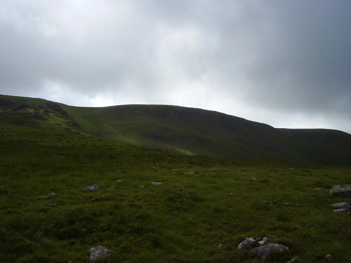
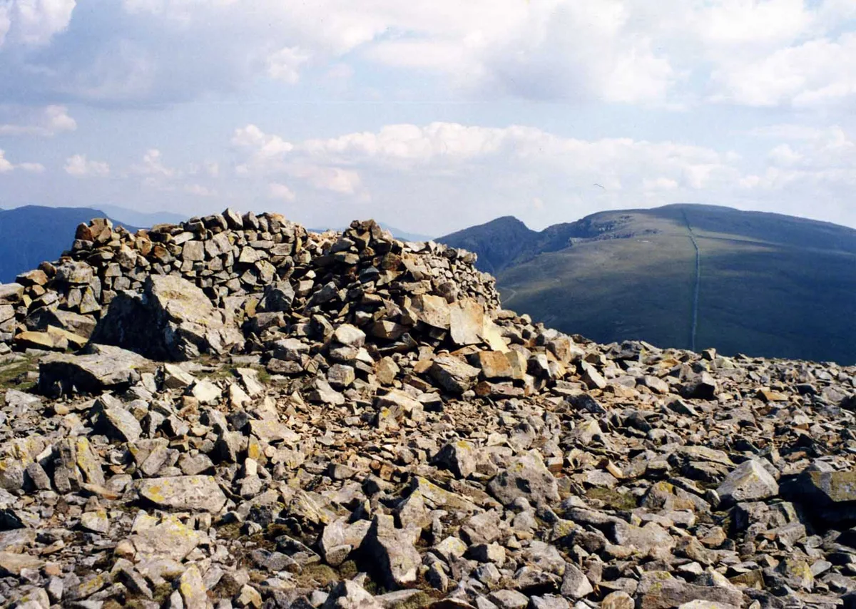
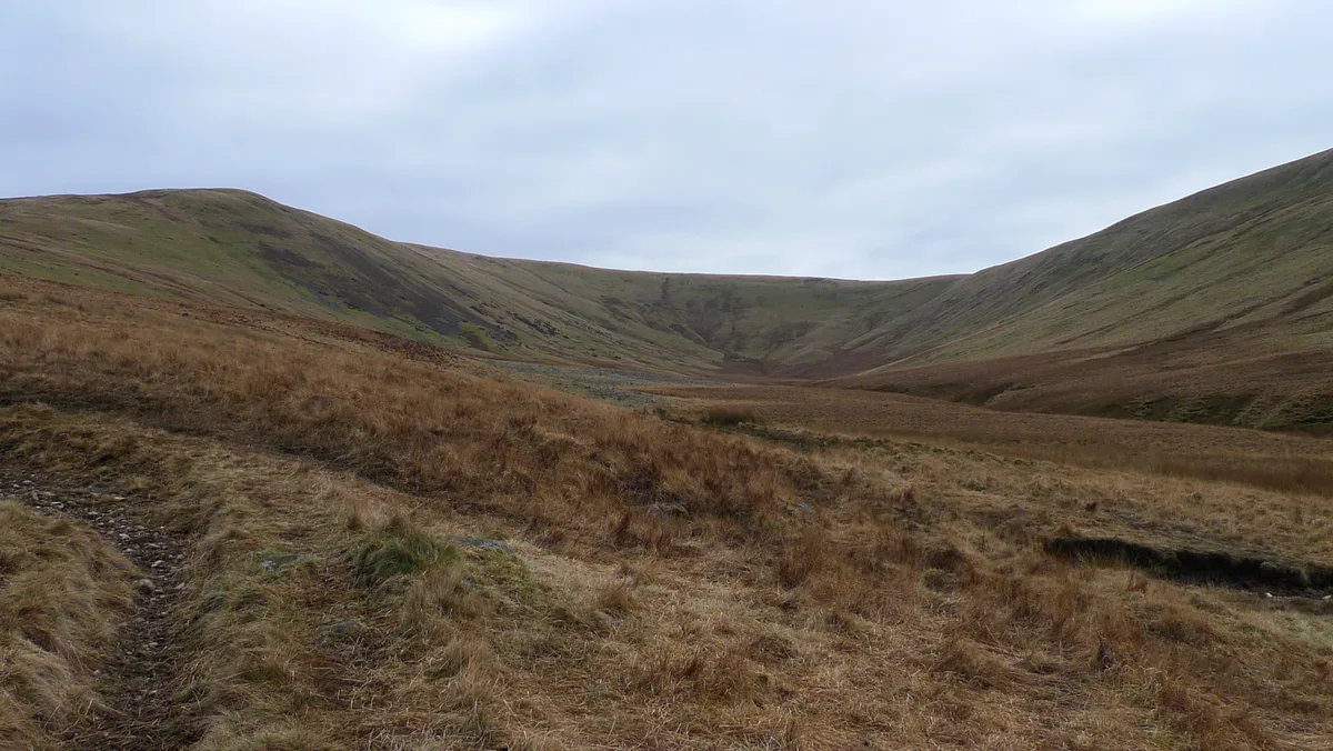
Iron Crag — Named summit at 640 m.

Wikimedia Commons contributors — see linked file page for photographer and licence licence
Plan your visit
- Typical visit
- 3 h–8 h
- Best time of year
- Late spring – early autumn (May–Oct)
- Free entry
- Dog-friendly
About
Iron Crag is a named summit in the United Kingdom. Wikidata describes it as: "Named summit at 640 m.". Coordinates: 54.4950°, -3.3551°.
Photo gallery
Protected designations
- Site of Special Scientific Interest: River Derwent and Tributaries SSSI
- Site of Special Scientific Interest: Pillar and Ennerdale Fells SSSI
- National Nature Reserve: WILD ENNERDALE
Designations sourced from Natural England open data under OGL v3.
From the Wikipedia article
Iron Crag is a mountain in the English Lake District, standing between Crag Fell and Caw Fell. The name of the fell is the source of some confusion, as the summit is unnamed on Ordnance Survey maps. Iron Crag apparently refers to the rocky outcrop below the summit, while the lower slopes are referred to as Ennerdale Fell. The Western aspect of the lower slopes, facing Ennerdale Water is known as The Side.
Excerpt from Wikipedia under CC BY-SA 4.0. See the source article linked in Sources below.
- Coordinates
- 54.4950, -3.3551
- Address
- Cumbria, {{ENG}}
Sources
- osm: n471328585 (ODbL)
- wikipedia: Iron Crag (CC BY-SA 4.0)
- commons: Iron crag.JPG (CC BY-SA 4.0)
Other places nearby
Loading nearby places…
Nearby
 📷 3
📷 3Natural landmarks · North West England
Caw Fell
Caw Fell — mountain in United Kingdom.
 📷 3
📷 3Mountains & hills · North West England
Caw Fell
Caw Fell — Named summit at 697 m.
 📷 4
📷 4Natural landmarks · North West England
Haycock
Haycock — mountain in United Kingdom.
 📷 4
📷 4Mountains & hills · North West England
Haycock
Haycock — Named summit at 797 m.
 📷 3
📷 3Mountains & hills · North East England
Whoap
Whoap — Named summit at 511 m.
 📷 3
📷 3Natural landmarks · North East England
Whoap
Whoap — mountain in United Kingdom.
More mountains in this region
 📷 3
📷 3Mountains & hills · North West England
Allen Crags
Allen Crags — Named summit at 785 m.
 📷 3
📷 3Mountains & hills · North West England
Alum Pot
Alum Pot — Open shaft pothole in North Yorkshire.
 📷 3
📷 3Mountains & hills · North West England
Arnside Knott
Arnside Knott — Named summit at 159 m.
 📷 3
📷 3Mountains & hills · North West England
Aye Gill Pike
Aye Gill Pike — Named summit at 556.3 m.
Frequently asked questions
- Where is Iron Crag?
- Iron Crag is in North-West England, United Kingdom.
- Is Iron Crag a protected site?
- Yes — Iron Crag is part of the River Derwent and Tributaries SSSI Site of Special Scientific Interest and the Pillar and Ennerdale Fells SSSI Site of Special Scientific Interest.
- Is Iron Crag free to visit?
- Yes, Iron Crag is free to enter.