Reservoirs & lochs · North East England
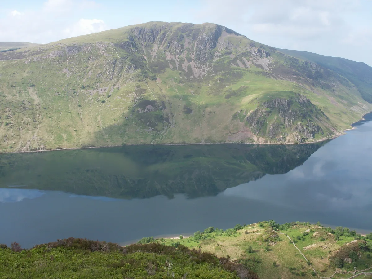
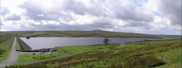
Ennerdale Water
Ennerdale Water — reservoir in the United Kingdom.

Wikimedia Commons contributors — see linked file page for photographer and licence licence
Plan your visit
- Typical visit
- 1 h–2.5 h
- Free entry
- Dog-friendly
About
Ennerdale Water is a reservoir in the United Kingdom. Wikidata describes it as: "reservoir in the United Kingdom". Coordinates: 54.5200°, -3.3761°.
Photo gallery
Protected designations
- Site of Special Scientific Interest: River Derwent and Tributaries SSSI
- Site of Special Scientific Interest: Ennerdale SSSI
- Site of Special Scientific Interest: Pillar and Ennerdale Fells SSSI
- National Nature Reserve: WILD ENNERDALE
Designations sourced from Natural England open data under OGL v3.
From the Wikipedia article
Ennerdale Water is the most westerly lake in the Lake District National Park in Cumbria, England. It is a glacial lake, with a maximum depth of 150 feet (46 metres), and is 1⁄2 to 1 mile (800 to 1,600 m) wide and 2+1⁄2 miles (4.0 kilometres) long. The lake lies in the eponymous valley of Ennerdale, surrounded by some of the highest and best-known fells in Cumbria including: Great Gable (899 m), Green Gable, Brandreth, High Crag, Steeple and Pillar. To the west of the lake lies the hamlet of Ennerdale Bridge, consisting of two pubs and a few houses. It is close to the port of Whitehaven.
Excerpt from Wikipedia under CC BY-SA 4.0. See the source article linked in Sources below.
Background
Visiting
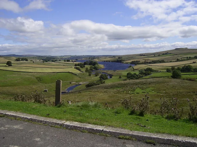
Despite being sited on Wainwright's coast-to-coast walk, the valley is not much visited by tourists. Due to the remote location, the lack of a public road up the valley, and its management by the Forestry Commission, the National Trust and United Utilities, Ennerdale Water has not been as spoiled as other lakes in the National Park by construction, activity on the lake or the effects of tourism.
Sourced from Wikipedia under CC BY-SA 4.0.
- Coordinates
- 54.5200, -3.3761
- District
- Cumberland
- Parish
- Ennerdale and Kinniside
- Postcode
- CA23 3AU
- Parliamentary constituency
- Whitehaven and Workington
Sources
- wikidata: Q649329 (CC0)
- wikipedia: Ennerdale Water (CC BY-SA 4.0)
- commons: Ennerdale Water.jpg (CC BY-SA 4.0)
Other places nearby
Loading nearby places…
Nearby
 📷 3
📷 3Mountains & hills · North East England
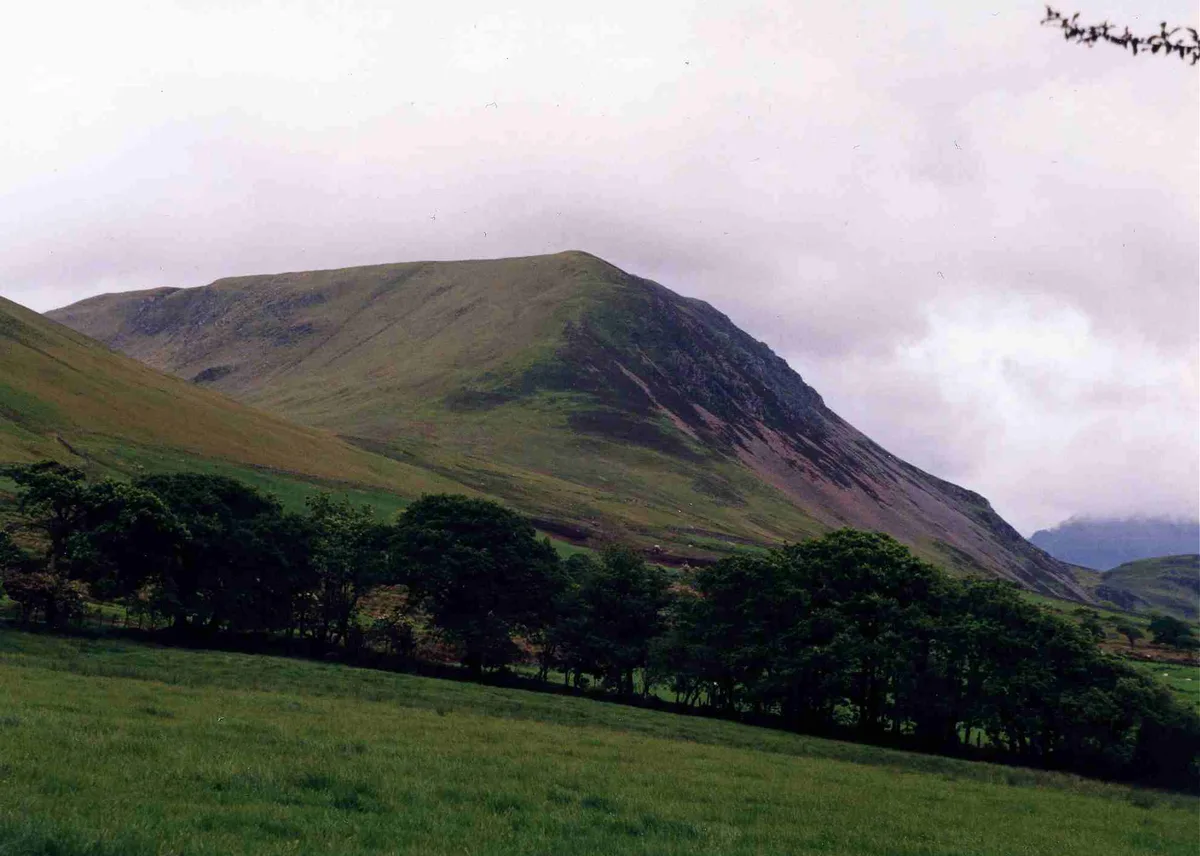
Crag Fell
Crag Fell — Named summit at 523 m.
 📷 3
📷 3Natural landmarks · North East England
Crag Fell
Crag Fell — mountain in United Kingdom.
 📷 4
📷 4Natural landmarks · North East England
Great Borne
Great Borne — mountain in United Kingdom.
 📷 4
📷 4Mountains & hills · North East England
Great Borne
Great Borne — Named summit at 616 m.
 📷 3
📷 3Mountains & hills · North East England
Whoap
Whoap — Named summit at 511 m.
 📷 3
📷 3Natural landmarks · North East England
Whoap
Whoap — mountain in United Kingdom.
More places in this region
 Flagship📷 3
Reservoirs & lochs · North East England
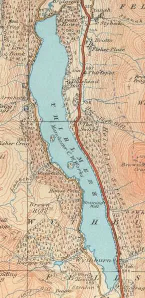
Thirlmere
Thirlmere — reservoir in the United Kingdom.
 📷 2
📷 2Reservoirs & lochs · North East England
Balderhead Reservoir
Balderhead Reservoir — reservoir in County Durham, England, UK.
 📷 3
📷 3Reservoirs & lochs · North East England
Blackton Reservoir
Blackton Reservoir — reservoir in County Durham, England, UK.
 📷 5
📷 5Reservoirs & lochs · North East England
Cogra Moss
Cogra Moss — reservoir in Cumbria, England, UK.
Frequently asked questions
- Where is Ennerdale Water?
- Ennerdale Water is in North-East England, United Kingdom (postcode CA23 3AU), in the parish of Ennerdale and Kinniside.
- Is Ennerdale Water a protected site?
- Yes — Ennerdale Water is part of the River Derwent and Tributaries SSSI Site of Special Scientific Interest and the Ennerdale SSSI Site of Special Scientific Interest.
- How do I get to Ennerdale Water?
- Drivers can navigate to postcode CA23 3AU. It sits within the Whitehaven and Workington parliamentary constituency.