Mountains & hills · North West England
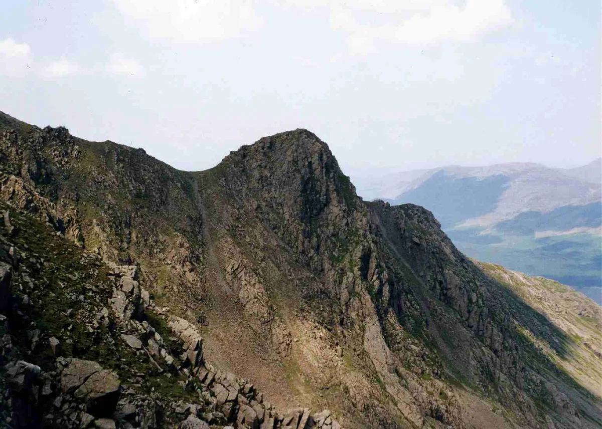
Caw Fell
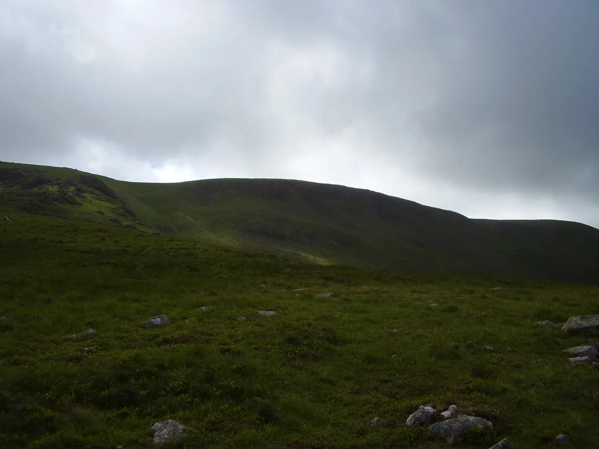
Caw Fell — Named summit at 697 m.

Wikimedia Commons contributors — see linked file page for photographer and licence licence
Plan your visit
- Typical visit
- 3 h–8 h
- Best time of year
- Late spring – early autumn (May–Oct)
- Free entry
- Dog-friendly
About
Caw Fell is a named summit in the United Kingdom. Wikidata describes it as: "Named summit at 697 m.". Coordinates: 54.4869°, -3.3412°.
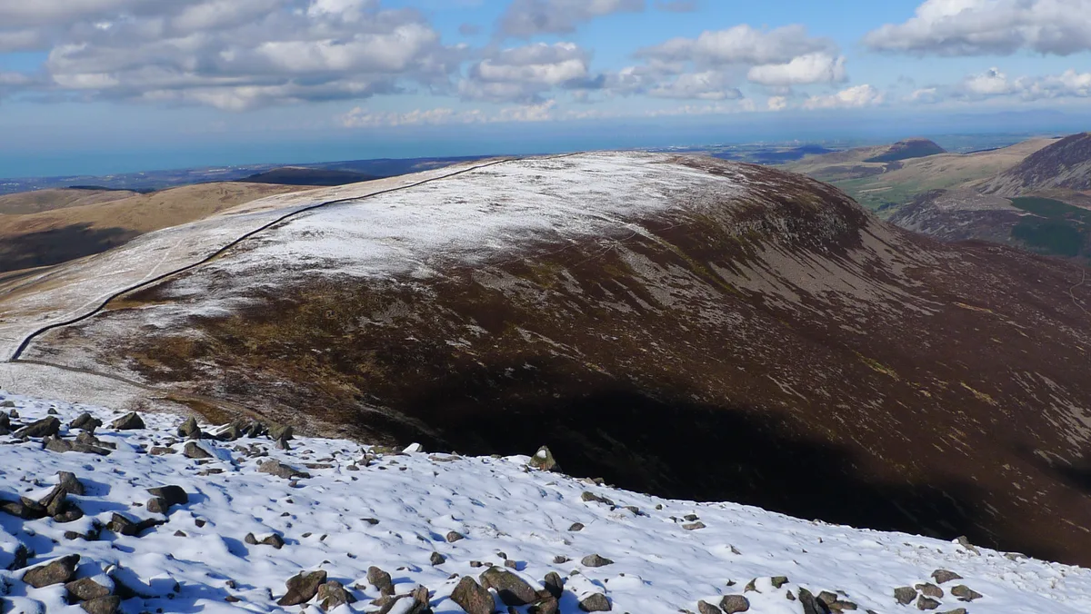
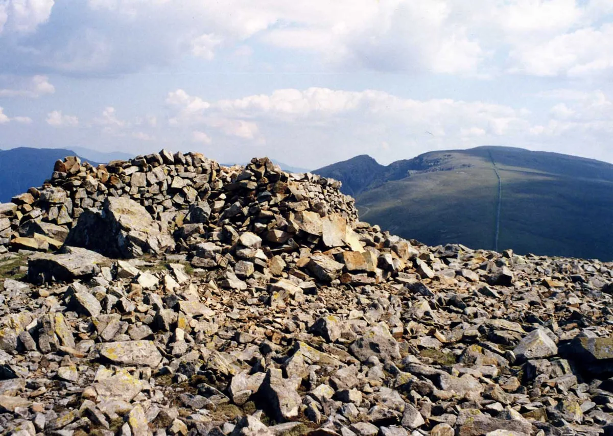
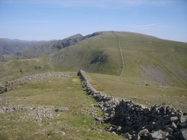
Photo gallery
Protected designations
- Site of Special Scientific Interest: River Derwent and Tributaries SSSI
- Site of Special Scientific Interest: Pillar and Ennerdale Fells SSSI
- National Nature Reserve: WILD ENNERDALE
Designations sourced from Natural England open data under OGL v3.
From the Wikipedia article
Caw Fell is a fell in the English Lake District, standing between Haycock the Lank Rigg group. It occupies a wide upland area with Ennerdale to the north and Blengdale to the south. Caw Fell is distant from any point of access by Lakeland standards, but can be climbed from Blengdale or Bowness Knott car-parks.
Excerpt from Wikipedia under CC BY-SA 4.0. See the source article linked in Sources below.
- Coordinates
- 54.4869, -3.3412
- Address
- Cumbria, England
Sources
- osm: n29961867 (ODbL)
- wikipedia: Caw Fell (CC BY-SA 4.0)
- commons: Caw Fell.jpg (CC BY-SA 4.0)
Other places nearby
Loading nearby places…
Nearby
 📷 3
📷 3Natural landmarks · North West England
Caw Fell
Caw Fell — mountain in United Kingdom.
 📷 4
📷 4Natural landmarks · North West England
Haycock
Haycock — mountain in United Kingdom.
 📷 4
📷 4Mountains & hills · North West England
Iron Crag
Iron Crag — Named summit at 640 m.
 📷 4
📷 4Mountains & hills · North West England
Haycock
Haycock — Named summit at 797 m.
 📷 3
📷 3Mountains & hills · North West England
Great Scoat Fell
Great Scoat Fell — Named summit at 802 m.
 📷 3
📷 3Mountains & hills · North West England
Steeple
Steeple — Named summit at 819 m.
More mountains in this region
 📷 3
📷 3Mountains & hills · North West England
Allen Crags
Allen Crags — Named summit at 785 m.
 📷 3
📷 3Mountains & hills · North West England
Alum Pot
Alum Pot — Open shaft pothole in North Yorkshire.
 📷 3
📷 3Mountains & hills · North West England
Arnside Knott
Arnside Knott — Named summit at 159 m.
 📷 3
📷 3Mountains & hills · North West England
Aye Gill Pike
Aye Gill Pike — Named summit at 556.3 m.
Frequently asked questions
- Where is Caw Fell?
- Caw Fell is in North-West England, United Kingdom.
- Is Caw Fell a protected site?
- Yes — Caw Fell is part of the River Derwent and Tributaries SSSI Site of Special Scientific Interest and the Pillar and Ennerdale Fells SSSI Site of Special Scientific Interest.
- Is Caw Fell free to visit?
- Yes, Caw Fell is free to enter.