Towns & cities · Scottish Highlands
Inverkip
Also known as: Inbhir Chip
Inverkip — village in Inverclyde, Scotland, UK.

Wikimedia Commons contributors — see linked file page for photographer and licence licence
Plan your visit
- Typical visit
- 3 h–6 h
- Nearest railway station
- Inverkip · 0.7 km
- Free entry
- Family-friendly
- Dog-friendly
About
Inverkip is a town, city, village or settlement in the United Kingdom. Recent population estimates put it at around 3,490 people. Wikidata describes it as: "village in Inverclyde, Scotland, UK". Coordinates: 55.9120°, -4.8735°.
Photo gallery
From the Wikipedia article
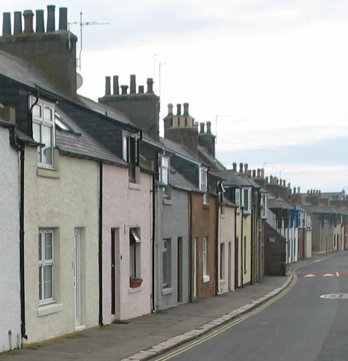
Inverkip (; Scottish Gaelic: Inbhir Chip) is a village and parish in the Inverclyde council area and historic county of Renfrewshire in the west central Lowlands of Scotland, 5 miles (8 km) southwest of Greenock and 8.1 miles (13 km) north of Largs on the A78 trunk road. The town takes its name from the River Kip and is served by Inverkip railway station.
Excerpt from Wikipedia under CC BY-SA 4.0. See the source article linked in Sources below.
Background
History
In 1170 Baldwin de Bigres, Sheriff of Lanark, granted a stretch of land to the monks of Paisley Abbey. This land was described as "The pennyland between the rivulets Kip and Daff". Pennyland is an old Scots word of Norse origin which is used to describe a small piece of land, the rent for which is one penny per year. The area granted to the monks in 1170 equates to much of the north section of today's village, from the bridge over the Daff on Main Street, near Inverkip Hotel to the old bridge over the River Kip at Bridgend Cottages. Extending to the coast at the old bridge at Kip Marina and probably as far inland as the railway line. Inverkip was made a burgh of barony before the Act of…
Sourced from Wikipedia under CC BY-SA 4.0.
- Coordinates
- 55.9120, -4.8735
- District
- Inverclyde
- Postcode
- PA16 0BF
- Parliamentary constituency
- Inverclyde and Renfrewshire West
- Population
- 3,490
- Nearest railway station
- Inverkip — 0.7 km
Sources
- wikidata: Q1020950 (CC0)
- wikipedia: Inverkip (CC BY-SA 4.0)
- commons: Inverkip Main Street.JPG (CC BY-SA 4.0)
Other places nearby
Loading nearby places…
Nearby
 📷 3
📷 3Castles · Scottish Highlands
Ardgowan Castle
Ardgowan Castle — a castle in scotland-highlands, United Kingdom.
 📷 5
📷 5Historic churches · Scottish Highlands
Inverkip Parish Church, Langhouse Road, Inverkip
Inverkip Parish Church, Langhouse Road, Inverkip — category B listed building-listed church in scotland-highlands, United Kingdom.
 📷 5
📷 5Historic churches · Scottish Highlands
burial vault 65m ENE of Kirkbrae House
burial vault 65m ENE of Kirkbrae House — scheduled monument-listed church in scotland-highlands, United Kingdom.
 📷 4
📷 4Mountains & hills · Scottish Highlands
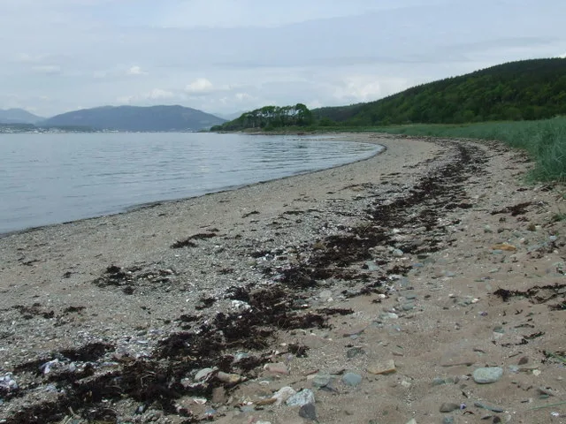
Lunderston Bay
Lunderston Bay — bay in Inverclyde, Scotland, UK.
 📷 5
📷 5Historic churches · Scottish Highlands
St Josephs Church, Forbes Place, Wemyss Bay
St Josephs Church, Forbes Place, Wemyss Bay — category C listed building-listed church in scotland-highlands, United Kingdom.
 📷 5
📷 5Towns & cities · Scottish Highlands
Wemyss Bay
Wemyss Bay — village in Inverclyde, Scotland.
More towns in this region
 Flagship📷 3
Towns & cities · Scottish Highlands
Cruden Bay
Cruden Bay — village in Aberdeenshire, Scotland, UK.
 Flagship📷 3
Towns & cities · Scottish Highlands
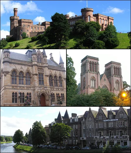
Inverness
Inverness — city in the Highlands of Scotland, United Kingdom.
 Flagship📷 3
Towns & cities · Scottish Highlands
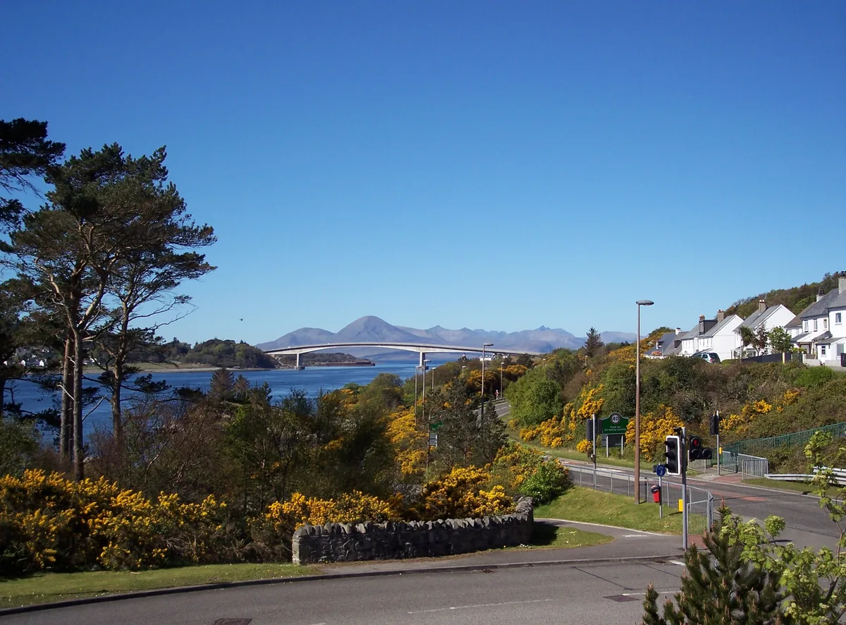
Kyle of Lochalsh
Kyle of Lochalsh — village in Highland, Scotland, UK.
 📷 4
📷 4Towns & cities · Scottish Highlands
Aberchirder
Aberchirder — village in Aberdeenshire, Scotland, UK.
Frequently asked questions
- Where is Inverkip?
- Inverkip is in the Scottish Highlands, United Kingdom (postcode PA16 0BF).
- Is Inverkip free to visit?
- Yes, Inverkip is free to enter.
- How do I get to Inverkip?
- The nearest railway station is Inverkip, about 0.7 km away. Drivers can navigate to postcode PA16 0BF.