Mines & mining heritage · London
Honey Lane Market
Honey Lane Market — historic market near Cheapside in the City of London.

Wikimedia Commons licence
Plan your visit
- Typical visit
- 1 h–2 h
- Nearest railway station
- St. Paul's · 0.3 km
- Wheelchair accessible
About
Honey Lane Market is a mine in the United Kingdom. Wikidata describes it as: "historic market near Cheapside in the City of London". Coordinates: 51.5143°, -0.0936°.
Photo gallery
From the Wikipedia article
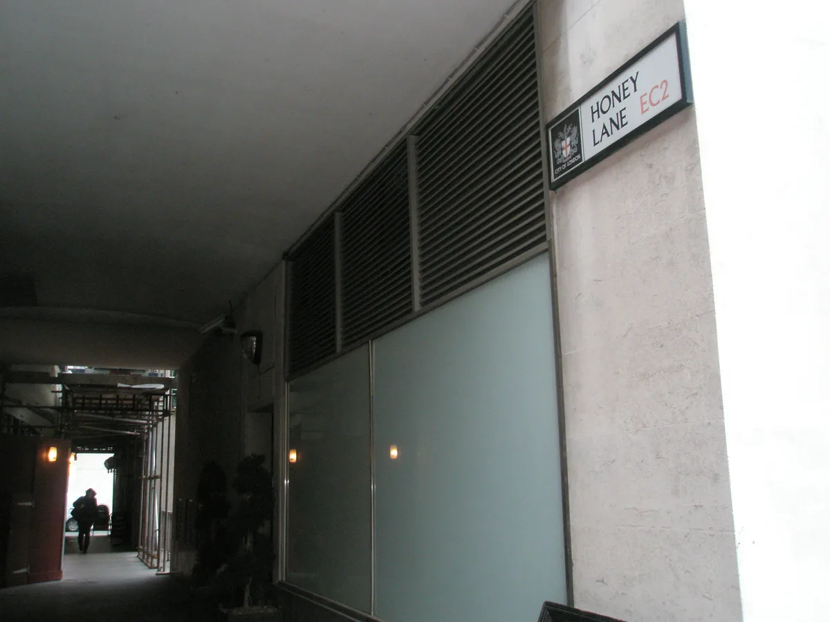
Honey Lane Market was a historic market near Cheapside in the City of London. It was at the south end of Milk Street on the site of the parish church of St Mary Magdalen and All Hallows Honey Lane after the areas destruction in the Great Fire of London in 1666, and the market took over the area. The market at one time had 105 butchers' stalls. Edward Hatton said in 1708 that the market was known for its meat, fish, and poultry. By 1835 the City of London School was built on part of the market site facing Milk Street on the corner with Russia Row. It was paid for with money bequeathed for the purpose by John Carpenter, city clerk in the reign of King Henry V. The school grew rapidly and in 1883 it moved to larger quarters on the Victoria Embankment. It was said in 1927 that the market "retains much of its original semi-enclosed plan". There were many food shops, "though wholesale premises are gradually encroaching on the space". Honey Lane was completely destroyed and the surrounding area seriously damaged by German bombing on 29 December 1940. In the postwar reconstruction the market fell within a parcel of land (along with Milk Street Buildings, Freeman's Court, Trump Street and Lawrence Lane) covering 53,434 square feet, referred to as No. 11. The cost of reconstruction of the parcel of land was estimated at £520,500 (in 1952) with costs to tax payers turned into a surplus by 2013. Honey Lane, a breezeway, is approximately 100 feet east of the old one and connects Cheapside and Trump Street.
Excerpt from Wikipedia under CC BY-SA 4.0. See the source article linked in Sources below.
- Coordinates
- 51.5143, -0.0936
- District
- City of London
- Parish
- City of London, unparished area
- Postcode
- EC2V 6DB
- Parliamentary constituency
- Cities of London and Westminster
- Phone
- +44 20 7248 5139
- Nearest railway station
- St. Paul's — 0.3 km
- Opening
- We 07:30-18:00; Th 07:30-18:30; Fr 07:30-16:00
- Official site
- www.stmarylebow.co.uk
Sources
- wikidata: Q48699095 (CC0)
- wikipedia: Honey Lane Market (CC BY-SA 4.0)
Other places nearby
Loading nearby places…
Nearby
 📷 5
📷 5Historic churches · London
All Hallows Honey Lane
All Hallows Honey Lane — church in City of London, UK.
 📷 5
📷 5Cathedrals · London
Captain John Smith
Captain John Smith — Public artwork (statue).
 📷 5
📷 5Historic churches · London
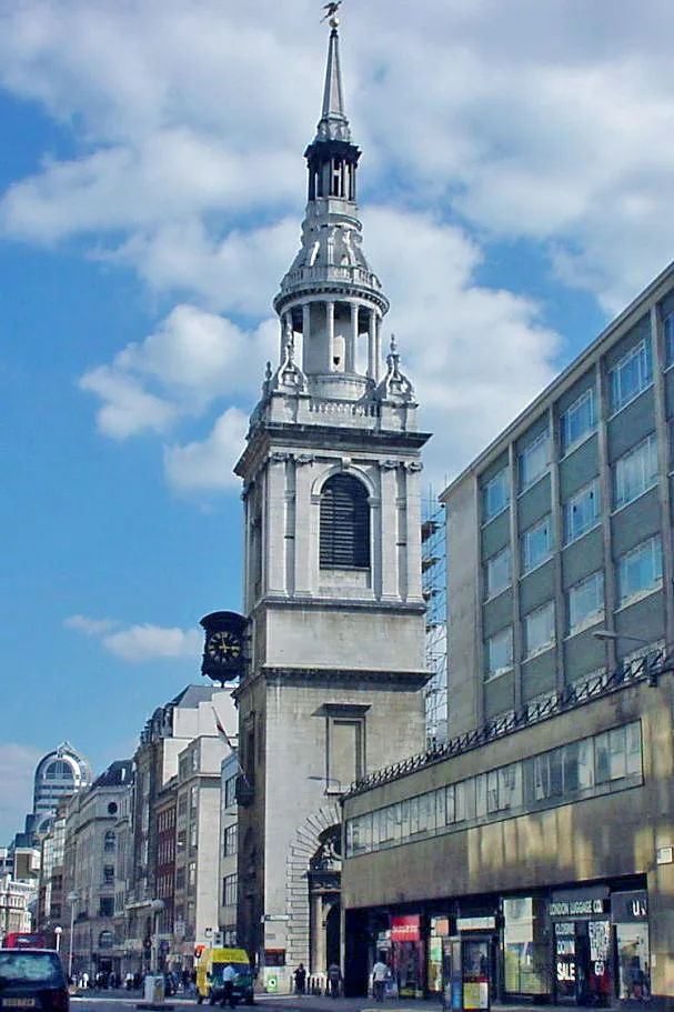
St Mary-le-Bow
St Mary-le-Bow — church building in City of London, London, England, UK.
 📷 5
📷 5Memorials & monuments · London
John Milton
John Milton — a memorial in england-london, United Kingdom.
 📷 5
📷 5Historic churches · London
St. Mary Magdalen, Milk Street
St. Mary Magdalen, Milk Street — church in City of London, UK.
 📷 5
📷 5Historic churches · London
St Peter, Westcheap
St Peter, Westcheap — church in City of London, UK.
More places in this region
.jpg?width=1200) 📷 5
📷 5Mines & mining heritage · London
Barking Market
Barking Market — market located in Barking in the London Borough of Barking and Dagenham.
.jpg?width=1200) 📷 5
📷 5Mines & mining heritage · London
Barnet Market
Barnet Market — market in High Barnet, London, England.
 📷 5
📷 5Mines & mining heritage · London
Brick Lane Market
Brick Lane Market — London market centered on Brick Lane in Tower Hamlets in east London.
 📷 5
📷 5Mines & mining heritage · London
Brixton Market
Brixton Market — entirety of markets in Brixton south London: covered market areas in arcades and street markets.
Frequently asked questions
- Where is Honey Lane Market?
- Honey Lane Market is in London, in the United Kingdom — coordinates 51.5143°, -0.0936°. The nearest railway station is St. Paul's, around 0.3 km away.
- Is Honey Lane Market wheelchair accessible?
- Yes — Honey Lane Market is tagged in OpenStreetMap as wheelchair-accessible.
- What are the opening hours for Honey Lane Market?
- OpenStreetMap records opening hours as: We 07:30-18:00; Th 07:30-18:30; Fr 07:30-16:00. Check the official site to confirm seasonal changes.