Stately homes · London
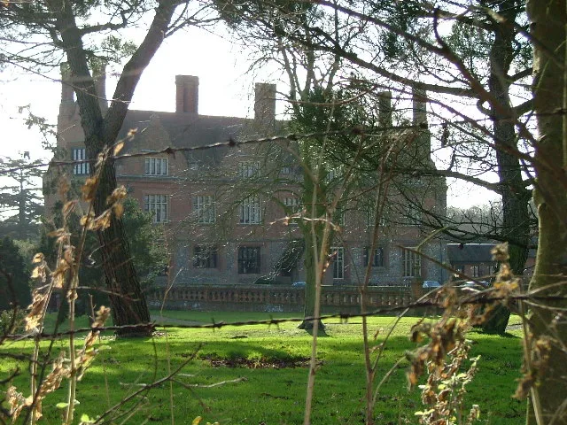
Havering Palace
Havering Palace — Royal residence in England.

Wikimedia Commons licence
Plan your visit
- Typical visit
- 2 h–4 h
- Nearest railway station
- Gidea Park · 4.2 km
- Family-friendly
- Limited wheelchair access
About
Havering Palace is a stately home in the United Kingdom. Wikidata describes it as: "Royal residence in England". Coordinates: 51.6149°, 0.1769°.
Photo gallery
From the Wikipedia article
Havering Palace was an old royal residence in England, in the village of Havering-atte-Bower (formerly in Essex, since 1965 in the London Borough of Havering). It was built before 1066 but abandoned in 1686. By 1816 no walls remained above ground.
Excerpt from Wikipedia under CC BY-SA 4.0. See the source article linked in Sources below.
Background
History
The earliest references to a royal demesne at Havering date from the time of Edward the Confessor, and although there is no definite proof that he ever visited it, the strength of local legend suggests he did, and as the manor was recorded in the Domesday Book as being held by Earl Harold in 1066 it seems likely that it had been held by Edward. It was definitely a royal manor by the Norman Conquest when it passed to William the Conqueror. The royal manor also gave the surrounding area the designation of the Royal Liberty of Havering, which gave those living in the area freedom from taxation and other benefits. The manor was granted to Queen Eleanor by Henry III in 1262 (or possibly 1267)…
Description
At its greatest extent before decay set in, most of the palace dated from the major building works of the 13th century with a newer block built in 1576–7. Described in the late 16th century, the plan was irregular with entry through a gatehouse allowing access to a set of connected buildings containing a great chamber, royal apartments, two chapels, and accommodation for the Lord Chamberlain and Lord High Treasurer. Supporting buildings included kitchens, a buttery, scullery, salthouse, spicery and a wet larder, beyond which were stables, various other out-buildings, and a garden. The parkland surrounding it covered most of the former parish of Havering-atte-Bower west of the main road (now…
Sourced from Wikipedia under CC BY-SA 4.0.
- Coordinates
- 51.6149, 0.1769
- District
- Havering
- Parish
- Havering, unparished area
- Postcode
- RM4 1PH
- Parliamentary constituency
- Romford
- Nearest railway station
- Gidea Park — 4.2 km
Sources
- wikidata: Q5683831 (CC0)
- wikipedia: Havering Palace (CC BY-SA 4.0)
Other places nearby
Loading nearby places…
Nearby
 📷 5
📷 5Parks · London
Havering Country Park
Havering Country Park — park in United Kingdom.
.jpg?width=1200) 📷 5
📷 5Historic houses · London
Bower House
Bower House — country house in Havering, London, UK.
 📷 5
📷 5Historic houses · London
Stable Block At The Bower House
Stable Block At The Bower House — a Grade I-listed historic house in england-london, United Kingdom.
.jpg?width=1200) 📷 5
📷 5Historic houses · London
The Round House
The Round House — Georgian villa in outer London.
 📷 5
📷 5Towns & cities · London
Havering-atte-Bower
Havering-atte-Bower — village in London Borough of Havering, United Kingdom.
 📷 5
📷 5Chapels · London
Chase Cross
Chase Cross — a methodist chapel in england-london, United Kingdom.
More places in this region
 Flagship📷 5
Stately homes · London
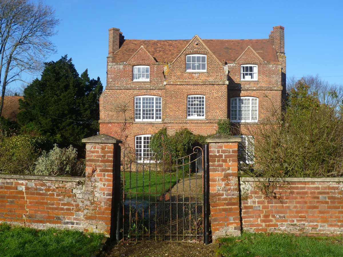
Ash Manor
Ash Manor — manor house in Ash, Sevenoaks, Kent, England, UK.
 📷 5
📷 5Stately homes · London
Aston Bury
Aston Bury — manor house in Aston, Hertfordshire, England, UK.
 📷 5
📷 5Stately homes · London
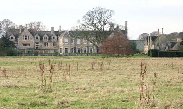
Barnwell Manor
Barnwell Manor — manor house in Barnwell, Northamptonshire, England, UK.
 📷 5
📷 5Stately homes · London
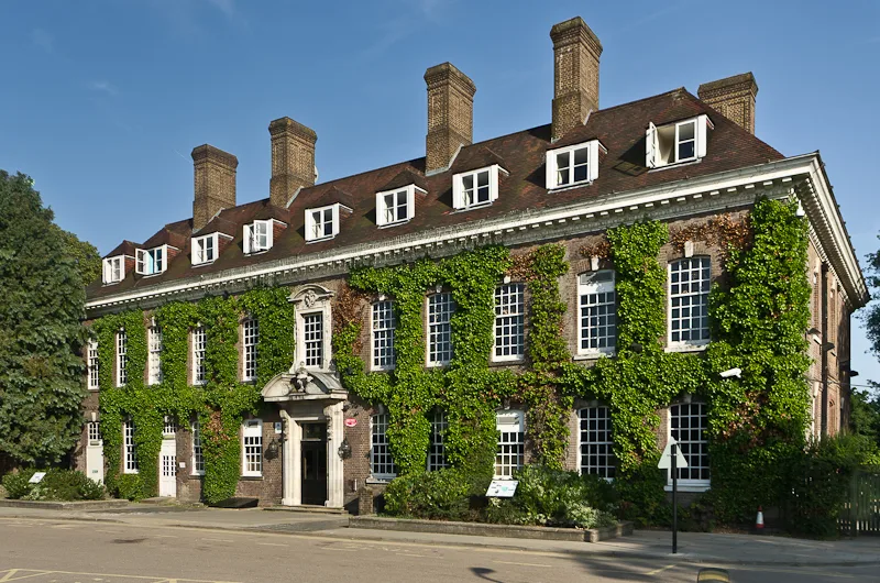
Batchwood Hall
Batchwood Hall — building in United Kingdom.
Frequently asked questions
- Where is Havering Palace?
- Havering Palace is in London, in the United Kingdom — coordinates 51.6149°, 0.1769°. The nearest railway station is Gidea Park, around 4.2 km away.
- Is Havering Palace wheelchair accessible?
- Partially — OpenStreetMap notes limited wheelchair access at Havering Palace. Check ahead for specific facilities.