Towns & cities · London
Havering-atte-Bower
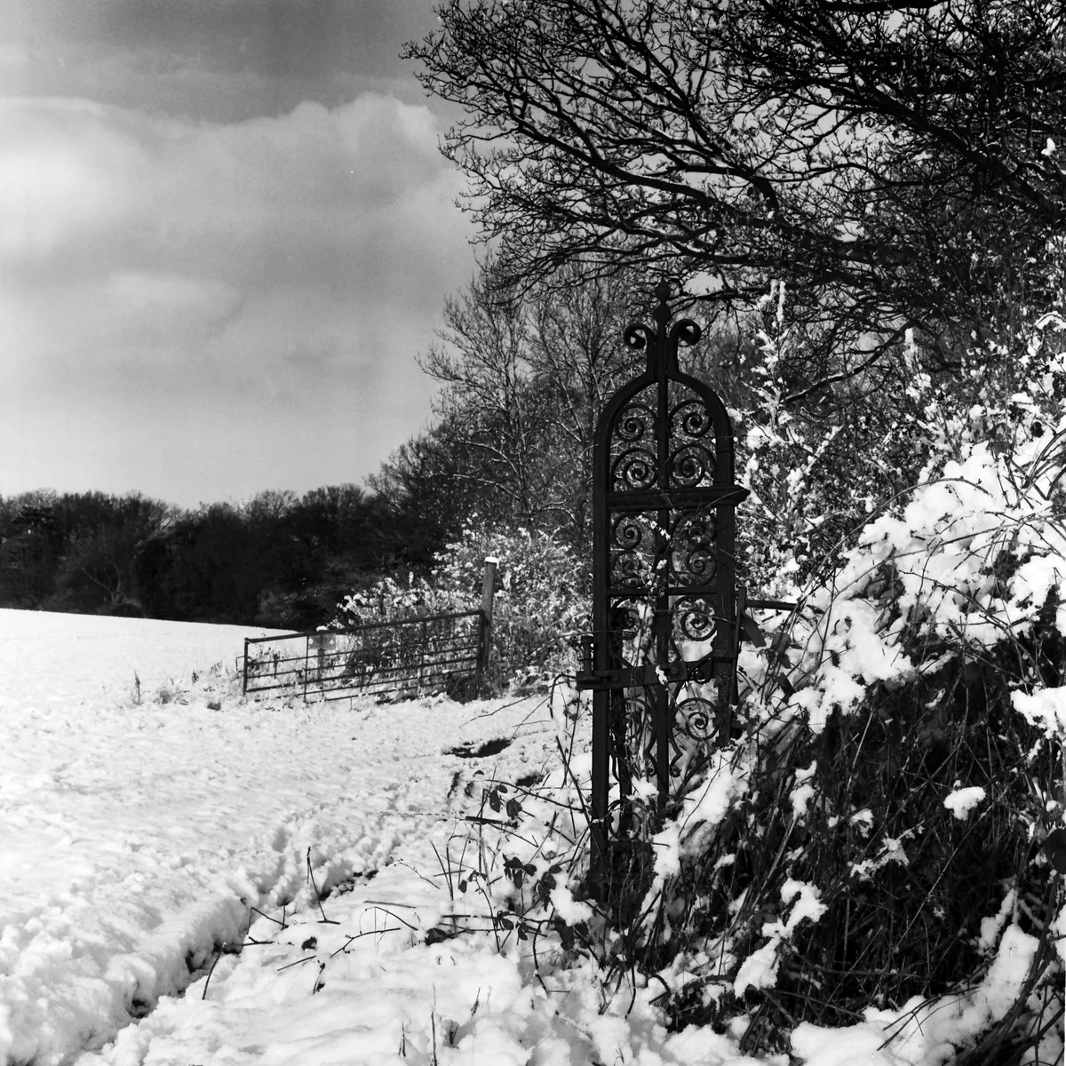
Havering-atte-Bower — village in London Borough of Havering, United Kingdom.

Wikimedia Commons contributors — see linked file page for photographer and licence licence
Plan your visit
- Typical visit
- 3 h–6 h
- Nearest railway station
- Harold Wood · 4.4 km
- Free entry
- Family-friendly
- Dog-friendly
About
Havering-atte-Bower is a town, city, village or settlement in the United Kingdom. Part of Metropolitan Police District. Address: RM4. Wikidata describes it as: "village in London Borough of Havering, United Kingdom". Coordinates: 51.6203°, 0.1877°.
Photo gallery
From the Wikipedia article
Havering-atte-Bower ( HAY-vər-ing AT-ee BOW-ər) is a village in Greater London, England, in the far north of the London Borough of Havering. The village lies 15 miles (24 km) northeast of Charing Cross. It was one of three former parishes whose area comprised the historic Royal Liberty of Havering. Havering-atte-Bower has been the location of a number of palaces and large houses including Bower House, The Round House, Pyrgo Palace and Havering Palace.
Excerpt from Wikipedia under CC BY-SA 4.0. See the source article linked in Sources below.
Background
History
The history of Havering dates back at least to Saxon times, with the format of the name indicative of an early Saxon settlement The surrounding areas, including the parishes of Hornchurch and Romford, Until the 17th century, royalty used the house of Havering Palace for various reasons, adding the architectural style of the day to the expanding palace. Another palace, east of the village, called Pyrgo, was purchased by Henry VIII to relieve the now ageing Havering Palace. By the 17th century, the Royal Palace of Havering was in decline, and it was eventually pulled down. Pyrgo was also demolished later, in the 18th century. Only one set of plans exists from the original Havering Palace,…
Sourced from Wikipedia under CC BY-SA 4.0.
- Coordinates
- 51.6203, 0.1877
- District
- Havering
- Parish
- Havering, unparished area
- Postcode
- RM4
- Parliamentary constituency
- Romford
- Nearest railway station
- Harold Wood — 4.4 km
Sources
- wikidata: Q614666 (CC0)
- wikipedia: Havering-atte-Bower (CC BY-SA 4.0)
- commons: St. John the Evangelist, the parish church of Havering-atte-Bower - geograph.org.uk - 731608.jpg (CC BY-SA 4.0)
Other places nearby
Loading nearby places…
Nearby
.jpg?width=1200) 📷 5
📷 5Historic houses · London
The Round House
The Round House — Georgian villa in outer London.
 📷 5
📷 5Palaces · London
Pyrgo Park
Pyrgo Park — park on the site of an ancient royal palace.
 📷 5
📷 5Historic houses · London
Stable Block At The Bower House
Stable Block At The Bower House — a Grade I-listed historic house in england-london, United Kingdom.
.jpg?width=1200) 📷 5
📷 5Historic houses · London
Bower House
Bower House — country house in Havering, London, UK.
 📷 5
📷 5Stately homes · London
Havering Palace
Havering Palace — Royal residence in England.
 📷 5
📷 5Parks · London
Havering Country Park
Havering Country Park — park in United Kingdom.
More towns in this region
 Flagship📷 10
Towns & cities · London
Aldenham
Aldenham — village and civil parish in Hertfordshire, England.
 Flagship📷 10
Towns & cities · London
Ashdon
Ashdon — village and civil parish in Essex, UK.
 Flagship📷 10
Towns & cities · London
Betchworth
Betchworth — village and civil parish in the Mole Valley district of Surrey, England.
 Flagship📷 10
Towns & cities · London
Boxley
Boxley — village and civil parish in Maidstone District, Kent, England, UK.
Frequently asked questions
- Where is Havering-atte-Bower?
- Havering-atte-Bower is in London, United Kingdom (postcode RM4), in the parish of Havering, unparished area.
- Is Havering-atte-Bower free to visit?
- Yes, Havering-atte-Bower is free to enter.
- How do I get to Havering-atte-Bower?
- The nearest railway station is Harold Wood, about 4.4 km away. Drivers can navigate to postcode RM4.