Wildlife reserves · London
Ingrebourne Valley
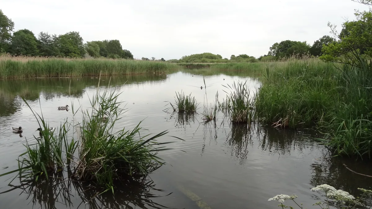
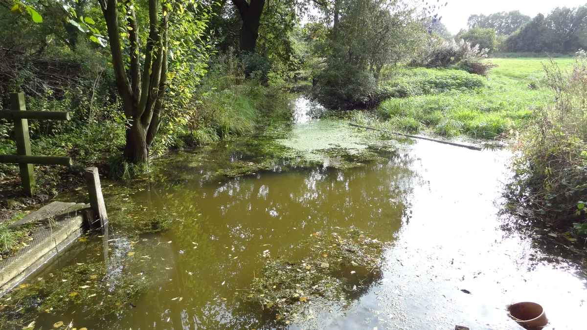
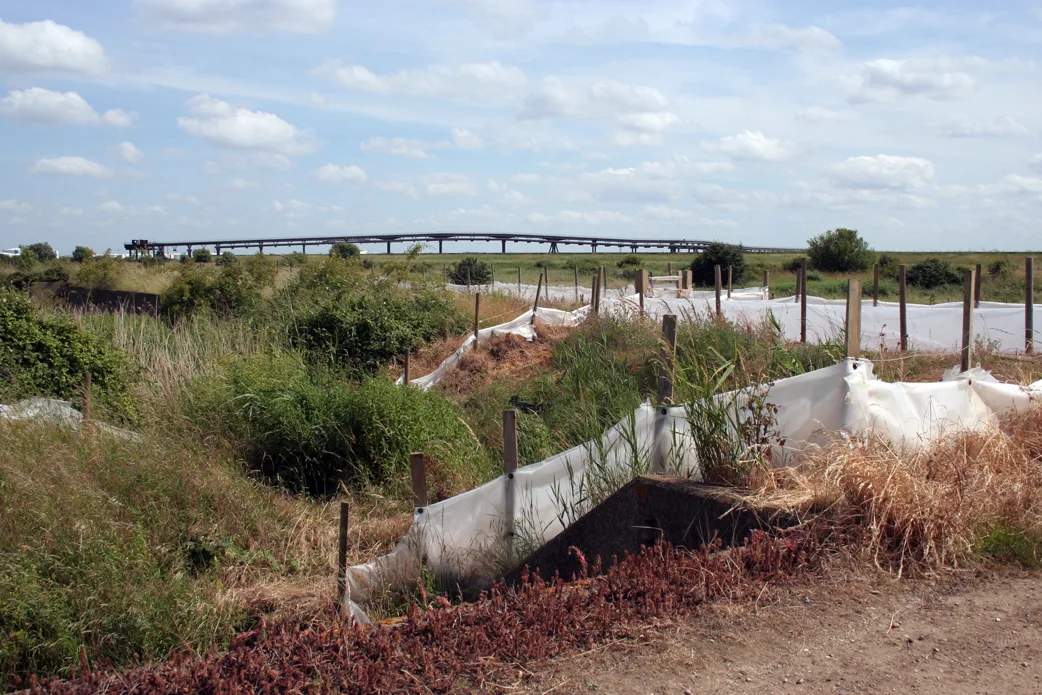
Ingrebourne Valley — Essex Wildlife Trust Nature reserve.

Wikimedia Commons contributors — see linked file page for photographer and licence licence
Plan your visit
- Typical visit
- 2 h–4 h
- Best time of year
- Autumn & winter (migration & wildfowl)
- Nearest railway station
- Elm Park · 1.6 km
- Free entry
- Family-friendly
- Dog-friendly
- Limited wheelchair access
About
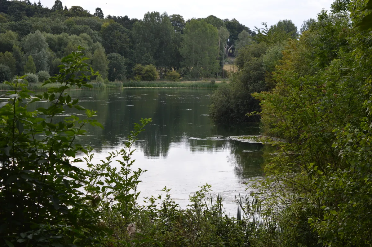
Ingrebourne Valley is a wildlife reserve in the United Kingdom. It covers approximately 261 km². Managed by Essex Wildlife Trust. Wikidata describes it as: "Essex Wildlife Trust Nature reserve". Coordinates: 51.5380°, 0.2100°.
Photo gallery
Protected designations
- Site of Special Scientific Interest: Ingrebourne Marshes SSSI
Designations sourced from Natural England open data under OGL v3.
From the Wikipedia article
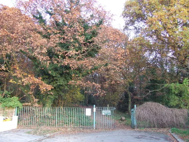
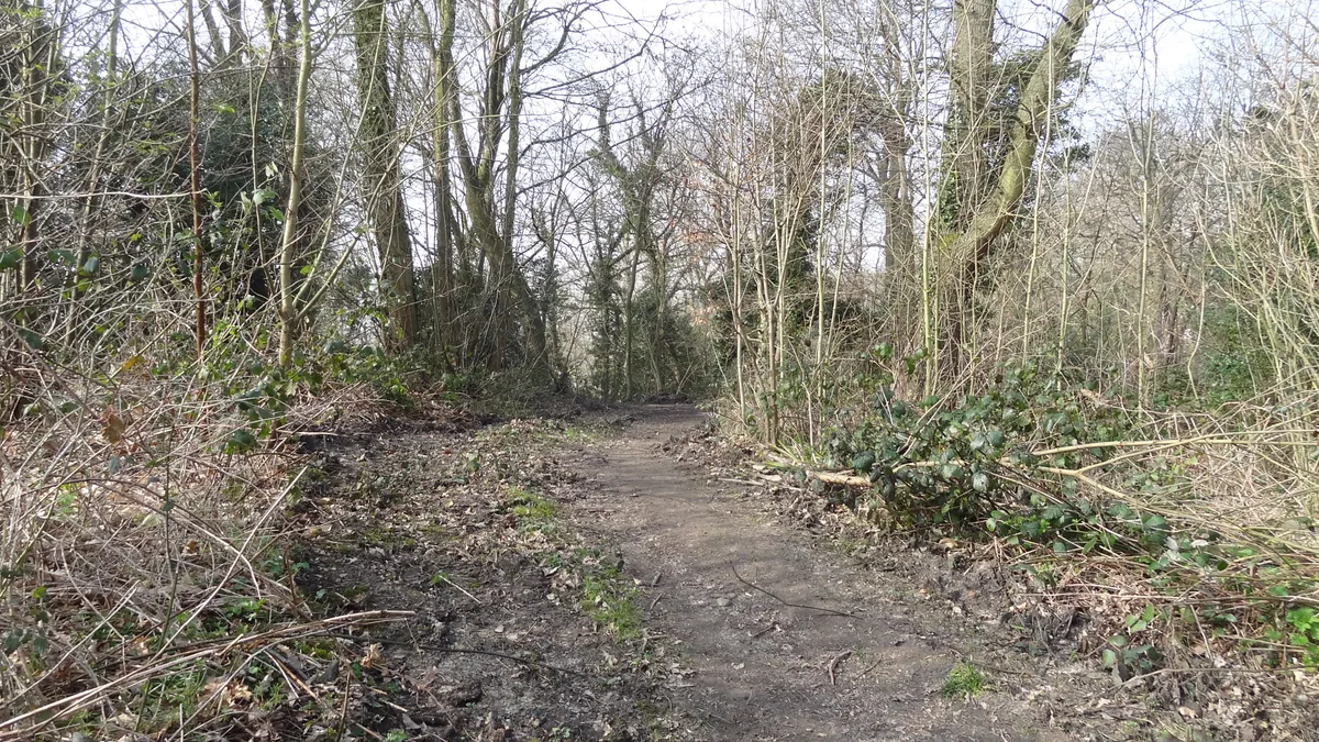
Ingrebourne Valley is a local nature reserve (LNR) in Hornchurch in the London Borough of Havering. It is owned and managed by Havering Council, and has a visitor centre managed by the Essex Wildlife Trust. Most of it is in Hornchurch Country Park west of the River Ingrebourne, but there are also areas north and south of the park which are part of the LNR. It has a wide range of habitats, including woodland, grassland, the river and marshes. It is an important site for a range of species of plants, animals and birds, including great crested newts, slow worms, the harvest mouse and the water vole. It has a complicated relationship with other nature reserves in the area. Hornchurch Country Park is a Site of Borough Importance for Nature Conservation, Grade I, and Ingrebourne Valley Site of Metropolitan Importance for Nature Conservation has different boundaries from the LNR of the same name, lying east, north and south of the country park. Part of the LNR is also in the Ingrebourne Marshes Site of Special Scientific Interest. The site has a car park at its northern end off Hacton Lane.
Excerpt from Wikipedia under CC BY-SA 4.0. See the source article linked in Sources below.
- Coordinates
- 51.5380, 0.2100
- District
- Havering
- Parish
- Havering, unparished area
- Postcode
- RM12 6NY
- Parliamentary constituency
- Dagenham and Rainham
- Nearest railway station
- Elm Park — 1.6 km
- Official site
- www.essexwt.org.uk
Sources
- wikidata: Q15228685 (CC0)
- wikipedia: Ingrebourne Valley (CC BY-SA 4.0)
- commons: Ingrebourne Valley - geograph.org.uk - 911344.jpg (CC BY-SA 4.0)
Other places nearby
Loading nearby places…
Nearby
 📷 5
📷 5Parks · London
Hornchurch Country Park
Hornchurch Country Park — park in the United Kingdom.
 📷 5
📷 5Forests & woodlands · London
Ingrebourne Marshes SSSI
Ingrebourne Marshes SSSI is a forest or woodland in the United Kingdom.
 📷 5
📷 5Wildlife reserves · London
Ingrebourne Marshes
Ingrebourne Marshes is a wildlife reserve in the United Kingdom.
 📷 5
📷 5Museums · London
RAF Hornchurch Heritage Centre
RAF Hornchurch Heritage Centre — a museum in england-london, United Kingdom.
 📷 5
📷 5Chapels · London
Hacton
Hacton — a methodist chapel in england-london, United Kingdom.
Mountain bike trails · London
Ingrebourne Hill Mountain Bike Course
Ingrebourne Hill Mountain Bike Course — a mtb trail in england london.
More places run by Essex Wildlife Trust
 Flagship📷 10
Wildlife reserves · London
Aubrey Buxton Nature Reserve
Aubrey Buxton Nature Reserve — Essex Wildlife Trust Nature reserve.
 Flagship📷 10
Wildlife reserves · London
Bedfords Park
Bedfords Park — Havering London Borough green landscape, also an Essex Wildlife Trust Nature reserve.
 Flagship📷 10
Wildlife reserves · London
Chafford Gorges Nature Park
Chafford Gorges Nature Park — Essex Wildlife Trust Nature reserve.
 Flagship📷 10
Wildlife reserves · London
Cranham Marsh
Cranham Marsh — Essex Wildlife Trust Nature reserve in the London Borough of Havering, England, UK.
More places in this region
 Flagship📷 10
Wildlife reserves · London
Amwell Quarry
Amwell Quarry — nature reserve in United Kingdom.
 Flagship📷 10
Wildlife reserves · London
Biggin Wood
Biggin Wood — preserved ancient woodland.
 Flagship📷 10
Wildlife reserves · London
Bramley Bank
Bramley Bank — Nature reserve in Upper Shirley.
 Flagship📷 10
Wildlife reserves · London
Canvey Wick
Canvey Wick — nature reserve in Essex, United Kingdom.
Frequently asked questions
- Where is Ingrebourne Valley?
- Ingrebourne Valley is in London, United Kingdom (postcode RM12 6NY), in the parish of Havering, unparished area.
- Who runs Ingrebourne Valley?
- Ingrebourne Valley is operated by Essex Wildlife Trust.
- Is Ingrebourne Valley a protected site?
- Yes — Ingrebourne Valley is part of the Ingrebourne Marshes SSSI Site of Special Scientific Interest.
- Is Ingrebourne Valley free to visit?
- Yes, Ingrebourne Valley is free to enter.
- How do I get to Ingrebourne Valley?
- The nearest railway station is Elm Park, about 1.6 km away. Drivers can navigate to postcode RM12 6NY.
- Are dogs allowed at Ingrebourne Valley?
- Most wildlife reserves allow dogs on lead only, with restrictions during ground-nesting bird season (March-July). Check signage at the reserve.