Archaeological sites · Scottish Lowlands
Haltonchesters Roman fort, settlement and Hadrian's Wall and vallum between the field boundary east of Haltonchesters fort and the Fence Burn in wall mile 2
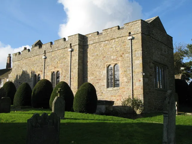
Haltonchesters Roman fort, settlement and Hadrian's Wall and vallum between the field boundary east of Haltonchesters fort and the Fence Burn in wall mile 2 — archaeological site in Whittington, Northumberland, England, UK.

Mike Quinn — CC BY-SA 2.0 via Wikimedia Commons licence
_Roman_Fort_-_ditch_beyond_the_south_wall_(2)_-_geograph.org.uk_-_1376174.jpg)
Plan your visit
- Typical visit
- 45 min–1.5 h
- Nearest railway station
- Corbridge · 4.9 km
- Free entry
- Dog-friendly
About
Haltonchesters Roman fort, settlement and Hadrian's Wall and vallum between the field boundary east of Haltonchesters fort and the Fence Burn in wall mile 2 is an archaeological site in the United Kingdom. It covers approximately 13 km². Heritage designation: scheduled monument. Part of Hadrian's Wall. Wikidata describes it as: "archaeological site in Whittington, Northumberland, England, UK". Coordinates: 55.0097°, -2.0065°.
Photo gallery
Protected designations
- Site of Special Scientific Interest: Northumberland Shore SSSI
Designations sourced from Natural England open data under OGL v3.
Place summary
Haltonchesters Roman fort and settlement is located in the Scottish Lowlands within the parish of Whittington, NE45. This archaeological site is designated as a scheduled monument and is part of the Northumberland Shore SSSI. It includes remnants of Hadrian's Wall and the vallum, situated between the field boundary east of Haltonchesters fort and the Fence Burn in wall mile 2.
AI-generated from the structured facts on this page (operator, designation, listing, era). Not a substitute for visiting.
- Coordinates
- 55.0097, -2.0065
- District
- Northumberland
- Parish
- Whittington
- Postcode
- NE45 5PH
- Parliamentary constituency
- Hexham
- Nearest railway station
- Corbridge — 4.9 km
Sources
- wikidata: Q17648018 (CC0)
Other places nearby
Loading nearby places…
Nearby
 📷 4
📷 4Archaeological sites · North East England
Hunnum
Hunnum in England North East, United Kingdom.
 📷 5
📷 5Castles · Scottish Lowlands
Halton Castle, Northumberland
Halton Castle, Northumberland — a castle in scotland-lowlands, United Kingdom.
 📷 3
📷 3Historic churches · Scottish Lowlands
Halton Church
Halton Church — Grade I listed church in Halton, Northumberland, England, UK.
 📷 3
📷 3Other places · North East England
Milecastle 22
Milecastle 22 in England North East, United Kingdom.
 📷 4
📷 4Archaeological sites · North East England
Milecastle 21
Milecastle 21 in England North East, United Kingdom.
📷 3Archaeological sites · Scottish Lowlands
Milecastle 22 (Portgate)
Milecastle 22 (Portgate) — a archaeological in scotland-lowlands, United Kingdom.
More archaeological sites in this region
 📷 3
📷 3Archaeological sites · Scottish Lowlands
Barcombe Hill Roman signal station
Barcombe Hill Roman signal station — archaeological site in Bardon Mill, Northumberland, England, UK.
 📷 3
📷 3Archaeological sites · Scottish Lowlands
Bibra Roman Fort
Bibra Roman Fort — archaeological site in Holme St Cuthbert, Cumberland, Cumbria , England, UK.
 📷 3
📷 3Archaeological sites · Scottish Lowlands
Birdoswald Roman fort and the section of Hadrian's Wall and vallum between the River Irthing and the field boundaries east of milecastle 50
Birdoswald Roman fort and the section of Hadrian's Wall and vallum between the River Irthing and the field boundaries east of milecastle 50 — archaeological site in Waterhead, Carlisle, England, UK.
 📷 3
📷 3Archaeological sites · Scottish Lowlands
Boomby Lane 1 and 2 Roman temporary camps
Boomby Lane 1 and 2 Roman temporary camps — archaeological site in Beaumont, Carlisle, England, UK.
Frequently asked questions
- Where is Haltonchesters Roman fort, settlement and Hadrian's Wall and vallum between the field boundary east of Haltonchesters fort and the Fence Burn in wall mile 2?
- Haltonchesters Roman fort, settlement and Hadrian's Wall and vallum between the field boundary east of Haltonchesters fort and the Fence Burn in wall mile 2 is in the Scottish Lowlands, United Kingdom (postcode NE45 5PH), in the parish of Whittington.
- Is Haltonchesters Roman fort, settlement and Hadrian's Wall and vallum between the field boundary east of Haltonchesters fort and the Fence Burn in wall mile 2 a listed building?
- Haltonchesters Roman fort, settlement and Hadrian's Wall and vallum between the field boundary east of Haltonchesters fort and the Fence Burn in wall mile 2 is officially recognised as scheduled monument listed.
- Is Haltonchesters Roman fort, settlement and Hadrian's Wall and vallum between the field boundary east of Haltonchesters fort and the Fence Burn in wall mile 2 a protected site?
- Yes — Haltonchesters Roman fort, settlement and Hadrian's Wall and vallum between the field boundary east of Haltonchesters fort and the Fence Burn in wall mile 2 is part of the Northumberland Shore SSSI Site of Special Scientific Interest.
- How do I get to Haltonchesters Roman fort, settlement and Hadrian's Wall and vallum between the field boundary east of Haltonchesters fort and the Fence Burn in wall mile 2?
- The nearest railway station is Corbridge, about 4.9 km away. Drivers can navigate to postcode NE45 5PH.