Long-distance walking trails · North East England
Hadrian's Wall Path
An 84-mile National Trail following the line of Hadrian's Wall, the Roman frontier fortification, coast to coast across northern England from Wallsend on the Tyne to Bowness-on-Solway on the Cumbrian coast.
Plan your visit
- Typical visit
- 1 h–2 h
About
An 84-mile National Trail following the line of Hadrian's Wall, the Roman frontier fortification, coast to coast across northern England from Wallsend on the Tyne to Bowness-on-Solway on the Cumbrian coast.
- Coordinates
- 55.0241, -2.3528
Sources
- wikidata: Q1196229 (CC0)
Other places nearby
Loading nearby places…
Nearby
 📷 3
📷 3Archaeological sites · Scottish Lowlands
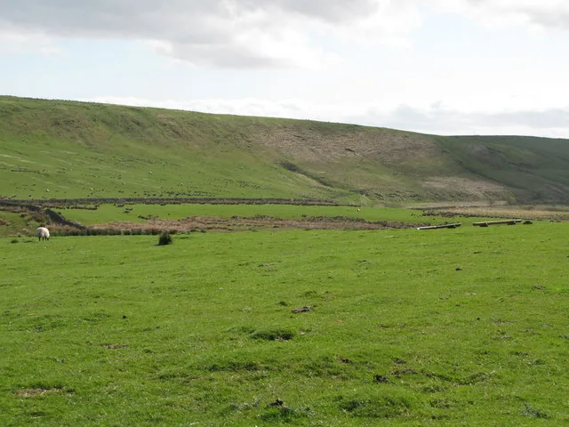
Stone circle, defended settlement, Romano-British farmstead and field system, Roman camp and group of shielings immediately south of Greenlee Lough
Stone circle, defended settlement, Romano-British farmstead and field system, Roman camp and group of shielings immediately south of Greenlee Lough — archaeological site in Bardon Mill, Northumberland, England, UK.
 📷 5
📷 5Natural landmarks · Scottish Lowlands
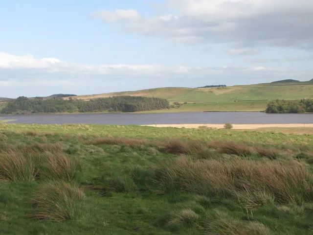
Greenlee Lough
Greenlee Lough — lake in the United Kingdom.
 📷 3
📷 3Viewpoints · Scottish Lowlands
Greenlee Meadows
Greenlee Meadows is a viewpoint in the United Kingdom.
 📷 3
📷 3Natural landmarks · Scottish Lowlands
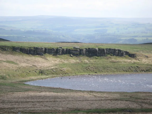
Broomlee Lough
Broomlee Lough — lake in the United Kingdom.
 📷 3
📷 3Archaeological sites · North East England
Milecastle 37
Milecastle 37 in England North East, United Kingdom.
 📷 4
📷 4Other places · North East England
Knag Burn Gateway
Knag Burn Gateway in England North East, United Kingdom.
Frequently asked questions
- Where is Hadrian's Wall Path?
- Hadrian's Wall Path is in North East England, in the United Kingdom — coordinates 55.0241°, -2.3528°.