Viewpoints · Scottish Lowlands
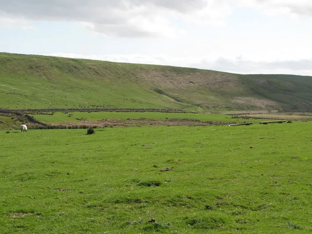
Greenlee Meadows
Greenlee Meadows is a viewpoint in the United Kingdom.

Paul Beaman — CC BY-SA 2.0 via Wikimedia Commons licence
Plan your visit
- Typical visit
- 20 min–45 min
- Best time of year
- Clear days year-round
- Nearest railway station
- Bardon Mill · 6.1 km
- Free entry
- Dog-friendly
About
Greenlee Meadows is a named viewpoint in the Scottish Lowlands, marked on Ordnance Survey maps for its outlook. The site is a designated Site of Special Scientific Interest. It sits within the Hexham parliamentary constituency. The nearest railway station is Bardon Mill, about 6.1 km away. Postcode area NE47.
Photo gallery
Protected designations
- Site of Special Scientific Interest: Kielder Mires SSSI
- Site of Special Scientific Interest: Roman Wall Loughs SSSI
- Site of Special Scientific Interest: River Eden and Tributaries SSSI
- Site of Special Scientific Interest: Roman Wall Escarpments SSSI
Designations sourced from Natural England open data under OGL v3.
Place summary
Greenlee Meadows is a viewpoint located in the Scottish Lowlands, within the parish of Henshaw, postcode NE47. It is designated as a Site of Special Scientific Interest (SSSI) for Kielder Mires, Roman Wall Loughs, and River Eden and Tributaries. This designation highlights its ecological significance and the diverse habitats present in the area.
AI-generated from the structured facts on this page (operator, designation, listing, era). Not a substitute for visiting.
- Coordinates
- 55.0283, -2.3657
- District
- Northumberland
- Parish
- Henshaw
- Postcode
- NE47 7AS
- Parliamentary constituency
- Hexham
- Nearest railway station
- Bardon Mill — 6.1 km
Sources
- osm: n11511155469 (ODbL)
Other places nearby
Loading nearby places…
Nearby
Long-distance walking trails · North East England
Hadrian's Wall Path
An 84-mile National Trail following the line of Hadrian's Wall, the Roman frontier fortification, coast to coast across northern England from Wallsend on the Tyne to Bowness-on-Solway on the Cumbrian coast.
 📷 3
📷 3Archaeological sites · Scottish Lowlands
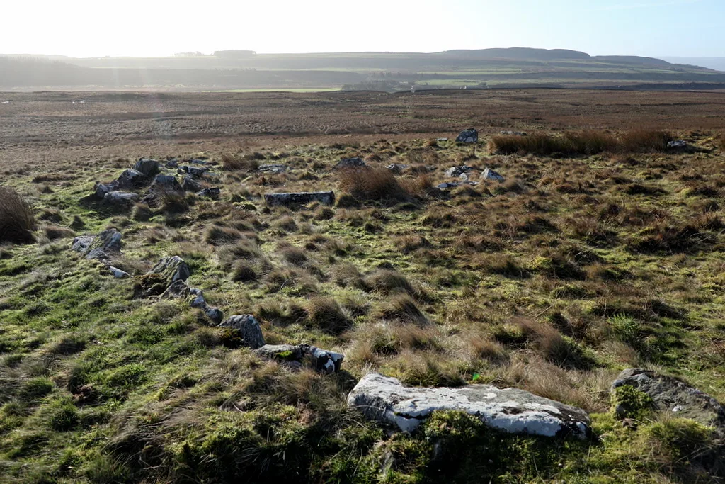
Stone circle, defended settlement, Romano-British farmstead and field system, Roman camp and group of shielings immediately south of Greenlee Lough
Stone circle, defended settlement, Romano-British farmstead and field system, Roman camp and group of shielings immediately south of Greenlee Lough — archaeological site in Bardon Mill, Northumberland, England, UK.
 📷 5
📷 5Natural landmarks · Scottish Lowlands
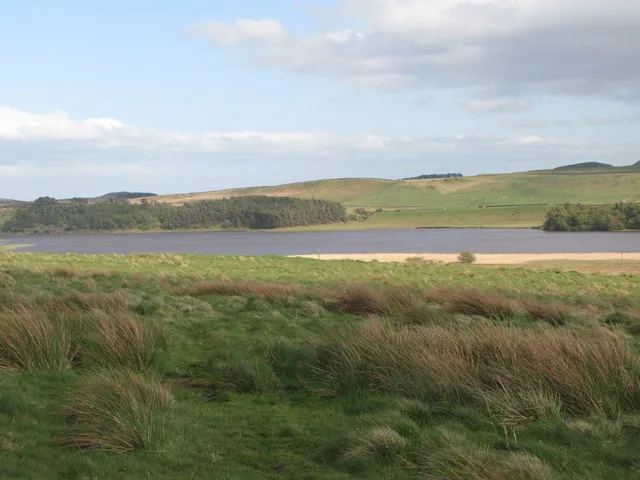
Greenlee Lough
Greenlee Lough — lake in the United Kingdom.
 📷 3
📷 3Archaeological sites · Scottish Lowlands
Ring cairn and shieling immediately west of Chatley Crags
Ring cairn and shieling immediately west of Chatley Crags — archaeological site in Henshaw, Northumberland, England, UK.
 📷 3
📷 3Farms (open to visitors) · North East England
Milecastle 38
Milecastle 38 in England North East, United Kingdom.
 📷 3
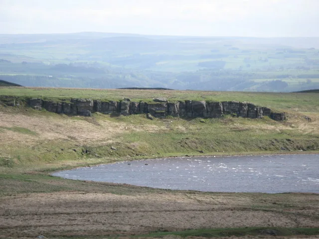
📷 3Natural landmarks · Scottish Lowlands
Broomlee Lough
Broomlee Lough — lake in the United Kingdom.
More viewpoints in this region
 📷 5
📷 5Viewpoints · Scottish Lowlands
Bird hide
Bird hide is a viewpoint in the United Kingdom.
 📷 5
📷 5Viewpoints · Scottish Lowlands
Bird Hide
Bird Hide is a viewpoint in the United Kingdom.
 📷 5
📷 5Viewpoints · Scottish Lowlands
Bird Hide
Bird Hide is a viewpoint in the United Kingdom.
 📷 3
📷 3Viewpoints · Scottish Lowlands
Border Viewpoint
Border Viewpoint is a viewpoint in the United Kingdom.
Frequently asked questions
- Where is Greenlee Meadows?
- Greenlee Meadows is in the Scottish Lowlands, United Kingdom (postcode NE47 7AS), in the parish of Henshaw.
- Is Greenlee Meadows a protected site?
- Yes — Greenlee Meadows is part of the Kielder Mires SSSI Site of Special Scientific Interest and the Roman Wall Loughs SSSI Site of Special Scientific Interest.
- Is Greenlee Meadows free to visit?
- Yes, Greenlee Meadows is free to enter.
- How do I get to Greenlee Meadows?
- The nearest railway station is Bardon Mill, about 6.1 km away. Drivers can navigate to postcode NE47 7AS.