Farms (open to visitors) · North East England
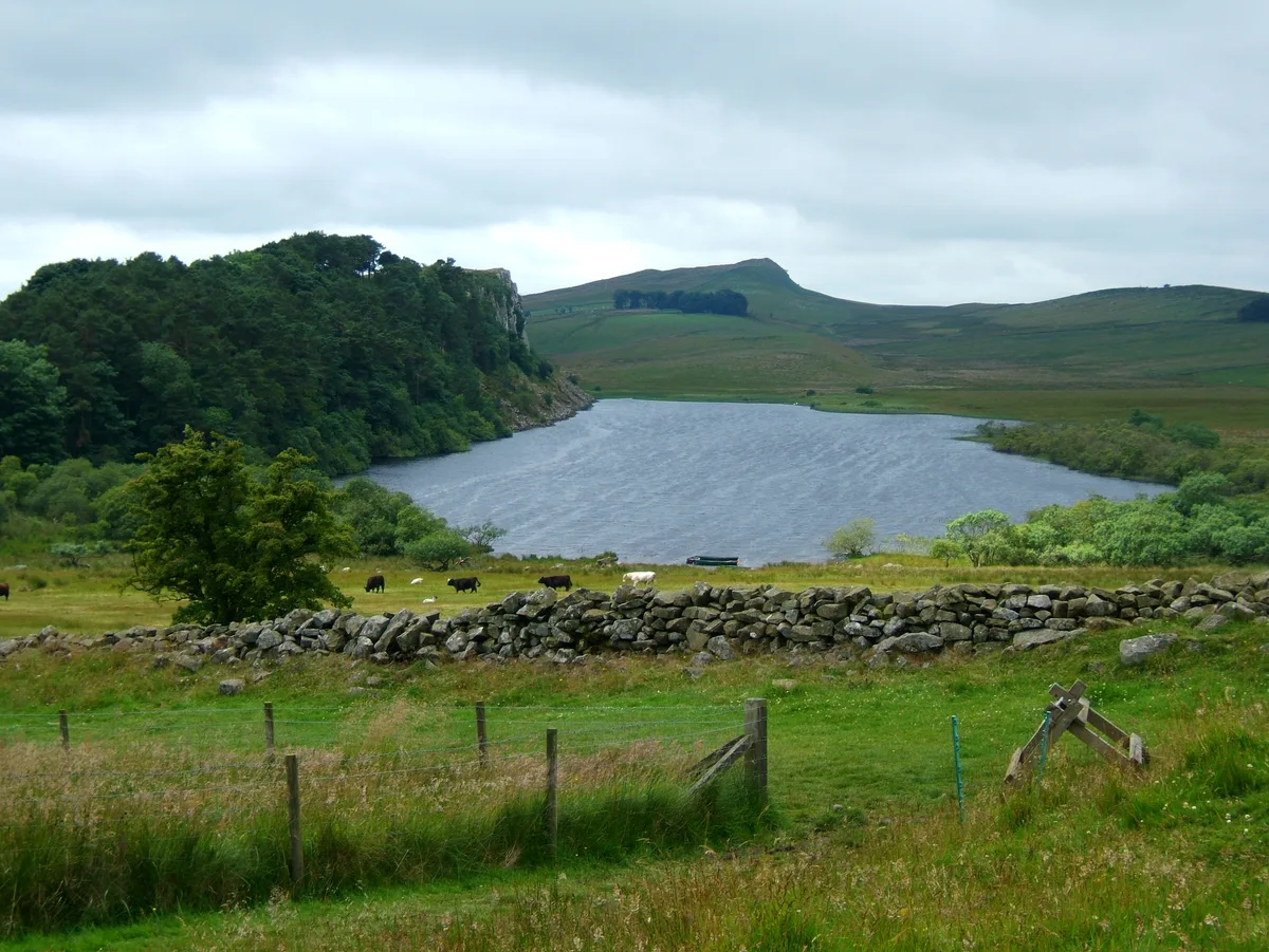
Milecastle 38
Milecastle 38 in England North East, United Kingdom.

Mike Quinn — CC BY-SA 2.0 via Wikimedia Commons licence
_Milecastle_38_-_geograph.org.uk_-_674778.jpg)
Plan your visit
- Typical visit
- 2 h–4 h
- Family-friendly
About
Milecastle 38 is a place of interest in England North East, United Kingdom — drawn from open-data sources for visitor reference. See the linked Wikipedia article for the full description.
Photo gallery
From the Wikipedia article
Milecastle 38 (Hotbank) was a milecastle on Hadrian's Wall in the vicinity of Hotbank Farm, (grid reference NY77276813). It is notable for the joint inscription bearing the names of the emperor Hadrian and Aulus Platorius Nepos, the governor of Britannia at the time the Wall was built.
Excerpt from Wikipedia under CC BY-SA 4.0. See the source article linked in Sources below.
Background
Description
The site of Milecastle 38 is in the vicinity of Hotbank Farm, Little remains of the milecastle except rubble walls outlined by robber trenches.
Sourced from Wikipedia under CC BY-SA 4.0.
- Coordinates
- 55.0073, -2.3568
- District
- Northumberland
- Parish
- Bardon Mill
- Postcode
- NE47 7AH
- Parliamentary constituency
- Hexham
Sources
- wikidata: Q6851174 (CC0)
- wikipedia: Milecastle 38 (CC BY-SA 4.0)
Other places nearby
Loading nearby places…
Nearby
 📷 3
📷 3Natural landmarks · Scottish Lowlands
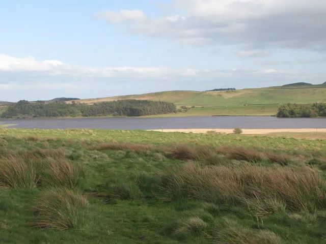
Crag Lough
Crag Lough — lake in the United Kingdom.
Vineyards · Scottish Lowlands
Medieval settlement and field system, two bastles and a corn drying kiln, immediately north east of Bradley Hall
Medieval settlement and field system, two bastles and a corn drying kiln, immediately north east of Bradley Hall — a UK vineyard in scotland lowlands, producing English or Welsh wine from cool-climate grape varieties.
 📷 3
📷 3Archaeological sites · Scottish Lowlands
The vallum and a British settlement between the field boundary west of turret 37a and the road to Steel Rigg car park, in wall miles 37, 38 and 39
The vallum and a British settlement between the field boundary west of turret 37a and the road to Steel Rigg car park, in wall miles 37, 38 and 39 — archaeological site in Henshaw, Northumberland, England, UK.
 📷 5
📷 5Other places · North East England
Sycamore Gap Tree
Sycamore Gap Tree in England North East, United Kingdom.
📷 3Natural landmarks · Scottish Lowlands
Robin Hood Tree
Robin Hood Tree — a other in scotland-lowlands, United Kingdom.
 📷 5
📷 5Natural landmarks · Scottish Lowlands
Greenlee Lough
Greenlee Lough — lake in the United Kingdom.
More places in this region
 📷 4
📷 4Farms (open to visitors) · North East England
Wetheriggs Pottery
Wetheriggs Pottery in England North East, United Kingdom.
 📷 4
📷 4Farms (open to visitors) · North East England
Scout Green
Scout Green in England North East, United Kingdom.
 📷 4
📷 4Farms (open to visitors) · North East England
Tebay services
Tebay services in England North East, United Kingdom.
 📷 5
📷 5Farms (open to visitors) · North East England
Mowhaugh
Mowhaugh in England North East, United Kingdom.
Frequently asked questions
- Where is Milecastle 38?
- Milecastle 38 is in North East England, in the United Kingdom — coordinates 55.0073°, -2.3568°.