Abbeys & priories · North East England
Greycrook
Greycrook in England North East, United Kingdom.

JThomas — CC BY-SA 2.0 via Wikimedia Commons licence
Plan your visit
- Typical visit
- 45 min–1.5 h
- Family-friendly
- Limited wheelchair access
About
Greycrook is a place of interest in England North East, United Kingdom — drawn from open-data sources for visitor reference. See the linked Wikipedia article for the full description.
Photo gallery
From the Wikipedia article
Greycrook is a village off the A68 and the A699 in the Scottish Borders, approximately 500 m (550 yd) south-east of St Boswells, and close to Dryburgh, Dryburgh Abbey, Maxton, Newtown St Boswells, and the River Tweed. It was here that the highest temperature in Scotland, 32.9 °C (91.2 °F), was recorded on 9 August 2003. The record was beaten on 19 July 2022, when 34.8 °C (94.6 °F) was recorded in Chaterhall during the 2022 European Heat Waves.
Excerpt from Wikipedia under CC BY-SA 4.0. See the source article linked in Sources below.
- Coordinates
- 55.5664, -2.6369
- District
- Scottish Borders
- Postcode
- TD6 0EU
- Parliamentary constituency
- Berwickshire, Roxburgh and Selkirk
Sources
Other places nearby
Loading nearby places…
Nearby
 📷 3
📷 3Historic houses · Central Scotland
Lessudden Kirk
Lessudden Kirk — a historic house in scotland-central, United Kingdom.
 📷 5
📷 5Towns & cities · Central Scotland
St Boswells
St Boswells — village in Scottish Borders, Scotland, UK; historical County of Roxburgh.
 📷 3
📷 3Memorials & monuments · Central Scotland
St Boswells Drinking Fountain
St Boswells Drinking Fountain — a memorial in scotland-central, United Kingdom.
.jpg?width=1200) 📷 3
📷 3Historic houses · Central Scotland
Lessudden House
Lessudden House — house in Scottish Borders, Scotland, UK.
 📷 5
📷 5Historic churches · Central Scotland
Maxton Kirk
Maxton Kirk — category B listed building-listed church in scotland-central, United Kingdom.
 ★ Iconic📷 5
Abbeys & priories · Central Scotland
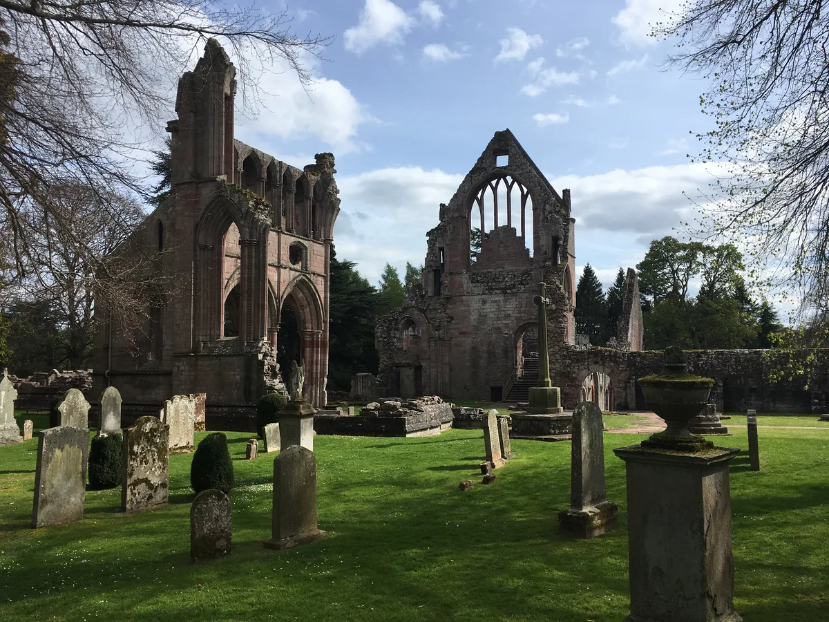
Dryburgh Abbey
Dryburgh Abbey — category A listed building in Scottish Borders, Scotland, UK.
More abbeys in this region
 📷 5
📷 5Abbeys & priories · North East England
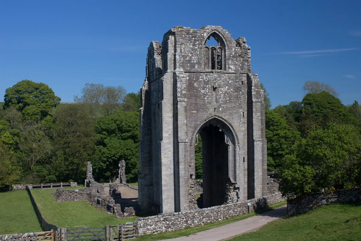
Egglestone Abbey
Egglestone Abbey is a abbey in the United Kingdom.
 📷 4
📷 4Abbeys & priories · North East England
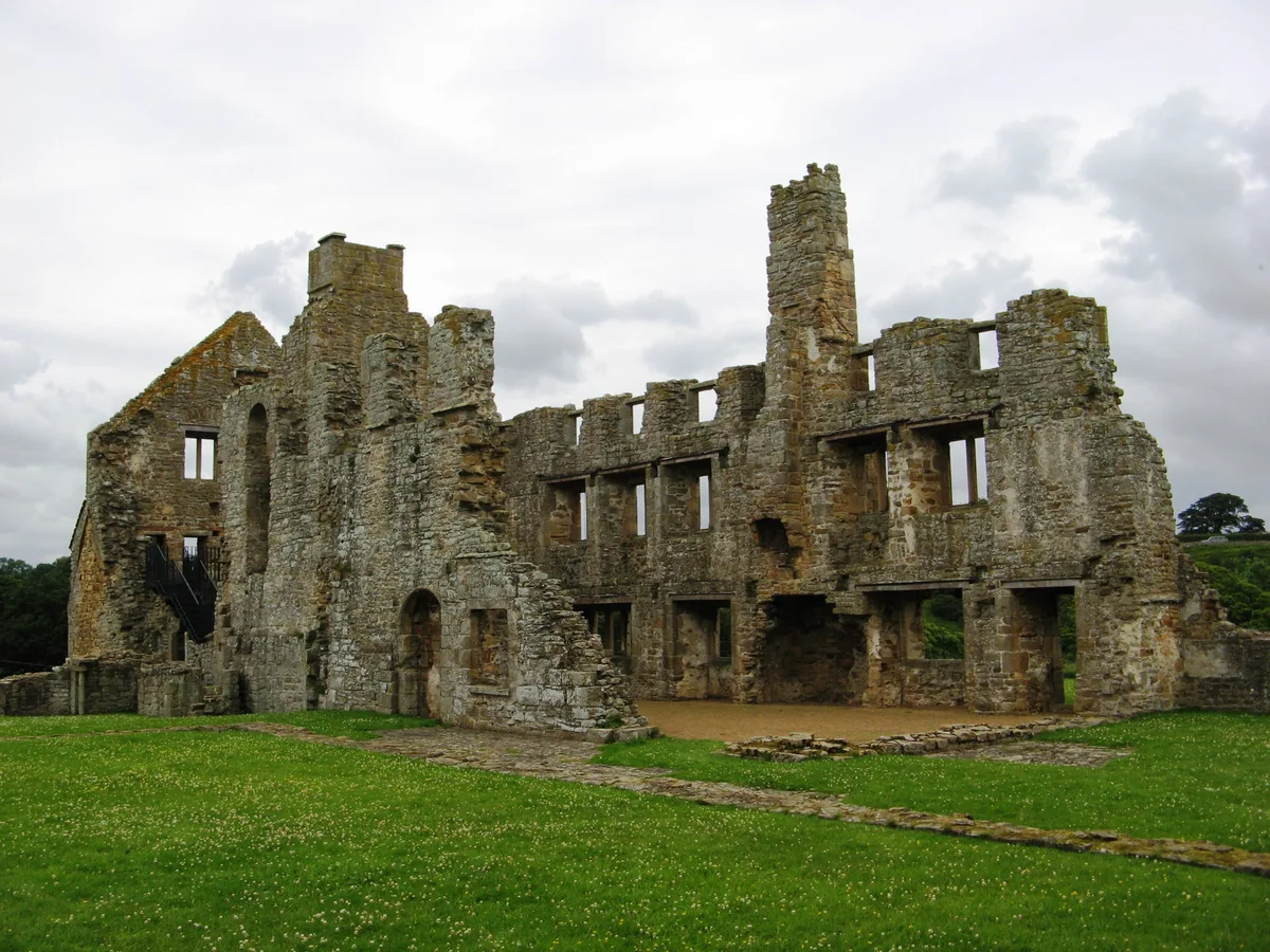
Shap Abbey
Shap Abbey — abbey in the Eden District of Cumbria, England, UK.
 📷 4
📷 4Abbeys & priories · North East England
Keld
Keld in England North East, United Kingdom.
 📷 4
📷 4Abbeys & priories · North East England
Lanercost
Lanercost in England North East, United Kingdom.
Frequently asked questions
- Where is Greycrook?
- Greycrook is in North East England, in the United Kingdom — coordinates 55.5664°, -2.6369°.
- Is Greycrook wheelchair accessible?
- Partially — OpenStreetMap notes limited wheelchair access at Greycrook. Check ahead for specific facilities.