Hill forts · South East England
Flagstones
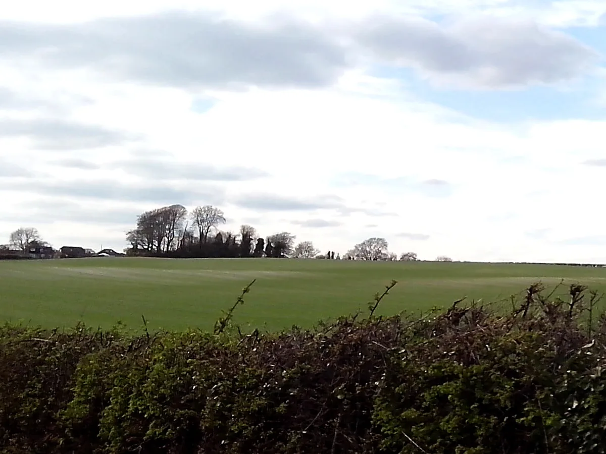
Flagstones — Neolithic ditch enclosure in the English county of Dorset.

Wikimedia Commons contributors — see linked file page for photographer and licence licence
Plan your visit
- Typical visit
- 1 h–2 h
- Nearest railway station
- Dorchester South · 1.3 km
- Free entry
- Dog-friendly
About
Flagstones is a hill fort in the United Kingdom. Wikidata describes it as: "Neolithic ditch enclosure in the English county of Dorset". Coordinates: 50.7070°, -2.4200°.
Photo gallery
Protected designations
- Site of Special Scientific Interest: River Frome SSSI
- Area of Outstanding Natural Beauty: Dorset
Designations sourced from Natural England open data under OGL v3.
From the Wikipedia article
Flagstones is a late Neolithic interrupted ditch enclosure (similar to a causewayed enclosure) on the outskirts of Dorchester, Dorset, England. It derives its name from having been discovered beneath the site of the demolished Flagstones House. Half of it was excavated in the 1980s when the Dorchester by-pass was built; the rest of it still exists under the grounds of Max Gate, Thomas Hardy's house.
Excerpt from Wikipedia under CC BY-SA 4.0. See the source article linked in Sources below.
Background
Description
In March 1891 workmen were digging under the lawn at Thomas Hardy's house at Max Gate when they discovered a large sarsen stone underground. It took seven men with levers to raise the stone which had been lying flat. he wrote about the stone in his poem "The Shadow on the Stone". It was only when the enclosure was discovered in the 1980s that it was realised that the sarsen stone came from a larger monument.
Sourced from Wikipedia under CC BY-SA 4.0.
- Coordinates
- 50.7070, -2.4200
- District
- Dorset
- Parish
- Dorchester
- Postcode
- DT1 2FN
- Parliamentary constituency
- West Dorset
- Phone
- +44 1305 262538
- Nearest railway station
- Dorchester South — 1.3 km
- Official site
- www.nationaltrust.org.uk
Sources
- wikidata: Q5457043 (CC0)
- wikipedia: Flagstones Enclosure (CC BY-SA 4.0)
- commons: Sarsen Stone 1 at Max Gate, Dorchester.jpg (CC BY-SA 4.0)
Other places nearby
Loading nearby places…
Nearby
 📷 5
📷 5Natural landmarks · South East England
Max Gate
Max Gate — a other in england-south-east, United Kingdom.
 📷 5
📷 5Burial mounds & barrows · South East England
Conquer Barrow
Conquer Barrow — a burial mound in england-south-east, United Kingdom.
 📷 5
📷 5Historic bridges · South East England
Wareham Bridge
Wareham Bridge — Grade II listed building-listed bridge in england-south-east, United Kingdom.
 📷 5
📷 5Hill forts · South East England
Mount Pleasant henge
Mount Pleasant henge — Neolithic henge monument in Dorset, England, UK.
 📷 5
📷 5Memorials & monuments · South East England
Fordington German Prisoners of War Memorial
Fordington German Prisoners of War Memorial — a memorial in england-south-east, United Kingdom.
📷 5Historic bridges · South East England
Princes Bridge
Princes Bridge — Grade II listed building-listed bridge in england-south-east, United Kingdom.
More places in this region
 Flagship📷 10
Hill forts · South East England
Castrum Anderitum
Castrum Anderitum — 3rd century Roman fort in the province of Britannia.
 Flagship📷 10
Hill forts · South East England
Maiden Castle
Maiden Castle — Iron Age hill fort in Dorset, England, UK.
 Flagship📷 10
Hill forts · South East England
Portus Adurni
Portus Adurni is a hill fort in the United Kingdom.
 Flagship📷 10
Hill forts · South East England
Richborough Roman Fort
Richborough Roman Fort — Roman fort at Richborough, Ash, United Kingdom.
Frequently asked questions
- Where is Flagstones?
- Flagstones is in South-East England, United Kingdom (postcode DT1 2FN), in the parish of Dorchester.
- Is Flagstones a protected site?
- Yes — Flagstones is part of the River Frome SSSI Site of Special Scientific Interest and the Dorset National Landscape (AONB).
- Is Flagstones free to visit?
- Yes, Flagstones is free to enter.
- How do I get to Flagstones?
- The nearest railway station is Dorchester South, about 1.3 km away. Drivers can navigate to postcode DT1 2FN.