Towns & cities · South East England
Empshott
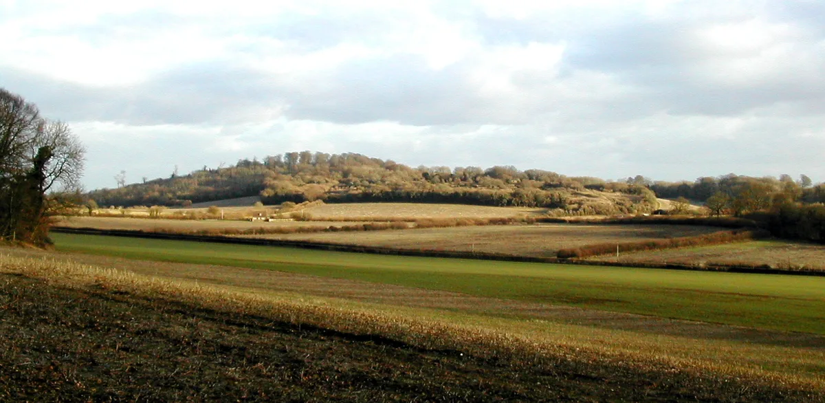
Empshott — village in Hampshire, UK.

Wikimedia Commons contributors — see linked file page for photographer and licence licence
Plan your visit
- Typical visit
- 3 h–6 h
- Nearest railway station
- Liss · 4.3 km
- Free entry
- Family-friendly
- Dog-friendly
About
Empshott is a town, city, village or settlement in the United Kingdom. Wikidata describes it as: "village in Hampshire, UK". Coordinates: 51.0760°, -0.9270°.
Photo gallery
Protected designations
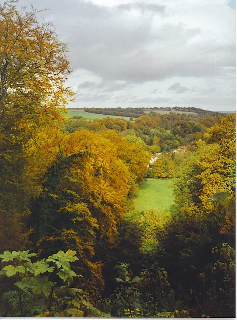
- Site of Special Scientific Interest: Upper Greensand Hangers: Empshott to Hawkley SSSI
Designations sourced from Natural England open data under OGL v3.
From the Wikipedia article
Empshott is a village and former civil parish, now in the parish of Hawkley, in the East Hampshire district of Hampshire, England. It lies 3.5 miles (5.5 km) southwest of Bordon, its nearest town. The nearest railway station is 2.7 miles (4.4 km) southeast of the village, at Liss. In 1931 the parish had a population of 171.
Excerpt from Wikipedia under CC BY-SA 4.0. See the source article linked in Sources below.
Background
History
Empshott is listed in the 1086 Domesday survey as being held by Geoffrey the Marshal, having been granted the land from pre-conquest landowners Bondi the Constable and Saxi of Clatford after 1066. The hamlet comprised four villagers and a mill. The famous Hambledon batsman John Small was born in Empshott in 1737. On 1 April 1932 the parish was abolished and merged with Hawkley.
Sourced from Wikipedia under CC BY-SA 4.0.
- Coordinates
- 51.0760, -0.9270
- County
- Hampshire
- District
- East Hampshire
- Parish
- Hawkley
- Postcode
- GU33 6HT
- Parliamentary constituency
- East Hampshire
- Nearest railway station
- Liss — 4.3 km
Sources
- wikidata: Q596894 (CC0)
- wikipedia: Empshott (CC BY-SA 4.0)
- commons: Holy Rood, Empshott - geograph.org.uk - 1099172.jpg (CC BY-SA 4.0)
Other places nearby
Loading nearby places…
Nearby
 📷 5
📷 5Mountains & hills · South East England
Noar Hill
Noar Hill — Named summit at 210 m.
 📷 5
📷 5Manor houses · South East England
Greatham Manor House
Greatham Manor House — a manor in england-south-east, United Kingdom.
 📷 5
📷 5Archaeological sites · South East England
Greatham Old Church
Greatham Old Church — a archaeological in england-south-east, United Kingdom.
 📷 5
📷 5Mountains & hills · South East England
Selborne Hill
Selborne Hill — Named summit at 210 m.
 📷 5
📷 5Towns & cities · South East England
Selborne
Selborne — village in East Hampshire, England, UK.
 📷 5
📷 5Historic houses · South East England
Plestor House
Plestor House — house in Selborne, Hampshire, England, UK.
More towns in this region
 Flagship📷 10
Towns & cities · South East England
Aldermaston
Aldermaston — village and civil parish in West Berkshire in England, UK.
 Flagship📷 10
Towns & cities · South East England
Aldingbourne
Aldingbourne — village and civil parish in Arun, West Sussex, UK.
 Flagship📷 10
Towns & cities · South East England
Aldington
Aldington — village and civil parish in the Ashford District of Kent, England.
 Flagship📷 10
Towns & cities · South East England
Aldworth
Aldworth — village and civil parish in the English county of Berkshire.
Frequently asked questions
- Where is Empshott?
- Empshott is in Hampshire, South-East England, United Kingdom (postcode GU33 6HT), in the parish of Hawkley.
- Is Empshott a protected site?
- Yes — Empshott is part of the Upper Greensand Hangers: Empshott to Hawkley SSSI Site of Special Scientific Interest.
- Is Empshott free to visit?
- Yes, Empshott is free to enter.
- How do I get to Empshott?
- The nearest railway station is Liss, about 4.3 km away. Drivers can navigate to postcode GU33 6HT.