Towns & cities · South East England
Aldingbourne
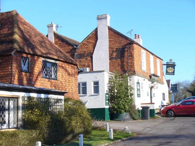
Aldingbourne — village and civil parish in Arun, West Sussex, UK.

Wikimedia Commons contributors — see linked file page for photographer and licence licence
Plan your visit
- Typical visit
- 3 h–6 h
- Nearest railway station
- Barnham · 3.7 km
- Free entry
- Family-friendly
- Dog-friendly
About
Aldingbourne is a town, city, village or settlement in the United Kingdom. It covers approximately 13 km². Recent population estimates put it at around 3,612 people. Wikidata describes it as: "village and civil parish in Arun, West Sussex, UK". Coordinates: 50.8413°, -0.6897°.
Photo gallery
From the Wikipedia article
Aldingbourne is a village, Anglican parish and civil parish in the Arun District of West Sussex, England. Its centre is 4 miles (6.4 km) north of Bognor Regis and 4 miles (6.4 km) east of Chichester with the A29 and A27 main roads running through it. The civil parish is named for the small village of Aldingbourne, but most of the population is in Westergate, and the smaller settlements of Norton, Nyton, Woodgate, Lidsey and part of Shripney. The ecclesiastical parish extends to 3,060 acres (1,240 ha), and was a significant settlement at the time of the Domesday Survey of 1086.
Excerpt from Wikipedia under CC BY-SA 4.0. See the source article linked in Sources below.
Background
History
First documented in 683 AD as Aldingburne, then 200 years later as Ealdingburnan, the name describes a stream or bourne (now known as Aldingbourne Rife) belonging to Ealda, a Saxon settler. Aldingeborne is described in the Domesday Book of 1086 as having 69 households (28 villagers, 38 smallholders and three slaves), a value to the lord of the manor of £18 and in the largest 20 per cent of settlements recorded in the survey; as well as agricultural holdings and resources, the church was listed, and the tenant in chief was the bishop of Chichester. It was in the Hundred of Boxgrove. In 1861 the parish extended to 3060 acre and had a population of 772. and had increased to 4,443 by 2021.
Sourced from Wikipedia under CC BY-SA 4.0.
- Coordinates
- 50.8413, -0.6897
- County
- West Sussex
- District
- Arun
- Parish
- Aldingbourne
- Postcode
- PO20 3TT
- Parliamentary constituency
- Arundel and South Downs
- Population
- 3,612
- Nearest railway station
- Barnham — 3.7 km
- Official site
- www.westsussex.gov.uk
Sources
- wikidata: Q770436 (CC0)
- wikipedia: Aldingbourne (CC BY-SA 4.0)
- commons: Aldingbourne st mary.jpg (CC BY-SA 4.0)
Other places nearby
Loading nearby places…
Nearby
 📷 5
📷 5Castles · South East England
Tote Copse Castle (mound)
Tote Copse Castle (mound) — a castle in england-south-east, United Kingdom.
📷 5Castles · South East England
Keep of Tote Copse castle, 400m north of Decoy Farmhouse
Keep of Tote Copse castle, 400m north of Decoy Farmhouse — scheduled monument-listed castle in england-south-east, United Kingdom.
 📷 5
📷 5Museums · South East England
RAF Tangmere
RAF Tangmere — a museum in england-south-east, United Kingdom.
📷 5Memorials & monuments · South East England
Watch Office (Control Tower), Former Raf Tangmere
Watch Office (Control Tower), Former Raf Tangmere — Grade II listed building-listed memorial in england-south-east, United Kingdom.
_and_the_cast_iron_veranda_01.jpg?width=1200) 📷 5
📷 5Historic houses · South East England
Aldingbourne House
Aldingbourne House — house in Aldingbourne, Arun, West Sussex, England, UK.
 📷 5
📷 5Museums · South East England
South Coast Plain
South Coast Plain — a museum in england-south-east, United Kingdom.
More towns in this region
 Flagship📷 10
Towns & cities · South East England
Aldermaston
Aldermaston — village and civil parish in West Berkshire in England, UK.
 Flagship📷 10
Towns & cities · South East England
Aldington
Aldington — village and civil parish in the Ashford District of Kent, England.
 Flagship📷 10
Towns & cities · South East England
Aldworth
Aldworth — village and civil parish in the English county of Berkshire.
 Flagship📷 10
Towns & cities · South East England
Alfold
Alfold — a village located in Waverley, United Kingdom.
Frequently asked questions
- Where is Aldingbourne?
- Aldingbourne is in West Sussex, South-East England, United Kingdom (postcode PO20 3TT), in the parish of Aldingbourne.
- Is Aldingbourne free to visit?
- Yes, Aldingbourne is free to enter.
- How do I get to Aldingbourne?
- The nearest railway station is Barnham, about 3.7 km away. Drivers can navigate to postcode PO20 3TT.