Towns & cities · West Midlands
East Langton
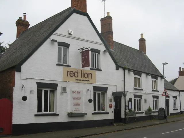
East Langton — village in Leicestershire, England, UK.

Wikimedia Commons contributors — see linked file page for photographer and licence licence
Plan your visit
- Typical visit
- 3 h–6 h
- Nearest railway station
- Market Harborough · 4.1 km
- Free entry
- Family-friendly
- Dog-friendly
About
East Langton is a town, city, village or settlement in the United Kingdom. It covers approximately 427 km². Recent population estimates put it at around 351 people. Address: LE16. Wikidata describes it as: "village in Leicestershire, England, UK". Coordinates: 52.5167°, -0.9167°.
Photo gallery
From the Wikipedia article
East Langton (derived from the Anglo-Saxon word for an enclosure, meaning "long town") is a village and civil parish in the Harborough district of Leicestershire, England. The parish also includes Church Langton. It is near Kibworth and Market Harborough, and the parish according to the 2011 census had a population of 393. Church Langton church tower is a landmark to travellers from the south, and the whole building is finely proportioned. The church has an organ given by William Hanbury, vicar for 25 years from 1753. There is an Old Roman Road that runs nearby, as it moves southeast out of Leicester. It is about 86 miles north of London, 12 miles south-east of Leicester city and 4 miles north of Market Harborough. Overall, the parish covers 1,055 acres of land and includes all of the township of East Langton. Its nearest arterial road is the B6047, with the village lying just to the east. Historically, the parish land was largely used for animal grazing. East Langton parish church was built in the year 1615 but was later restored in 1866 in order to increase its seating capacity of 287. The place was an ancient township in Leicester county and became a modern Civil Parish in December, 1866, when it was split off from Church Langton. On 25 March 1885, this parish was reduced in size when the "Vendy's Lodge" area was transferred to Thorpe Langton Civil Parish. On 25 March 1885, this parish gained in size when portions of Thorpe Langton Civil Parish and West Langton Civil Parish were transferred to it. In 1925 this parish was further increased in size, when it gained about 63 acres of land when the Civil Parish borders in the area were "adjusted". Most of the houses in the village appear to have been built or rebuilt in brick during the 19th and early 20th centuries but a few older buildings survive. The Bell Inn, is an ironstone building of three bays, the north bay of which has been rebuilt in brick; the older part dates from the late 17th century. Its northern end…
Excerpt from Wikipedia under CC BY-SA 4.0. See the source article linked in Sources below.
- Coordinates
- 52.5167, -0.9167
- County
- Leicestershire
- District
- Harborough
- Parish
- East Langton
- Postcode
- LE16
- Parliamentary constituency
- Harborough, Oadby and Wigston
- Population
- 351
- Nearest railway station
- Market Harborough — 4.1 km
Sources
- wikidata: Q663840 (CC0)
- wikipedia: East Langton (CC BY-SA 4.0)
- commons: East Langton, Leicestershire - geograph.org.uk - 587829.jpg (CC BY-SA 4.0)
Featured in these 3 guides
Itinerary
Britain's historic spa towns
Bath, Buxton, Cheltenham, Tunbridge Wells, Royal Leamington Spa.
Itinerary
Britain's biggest summer festivals
Glastonbury, Edinburgh Fringe, Hay-on-Wye, Latitude.
Itinerary
Britain's biggest Bonfire Night events
Lewes, Ottery St Mary, and the original Bonfire Society towns.
Other places nearby
Loading nearby places…
Nearby
 📷 3
📷 3Memorials & monuments · West Midlands
Thorpe Langton War Memorial
Thorpe Langton War Memorial — Grade II listed building-listed memorial in england-west-midlands, United Kingdom.
 📷 3
📷 3Hill forts · West Midlands
Knave Hill
Knave Hill — English archeological site.
 📷 3
📷 3Memorials & monuments · West Midlands
Church Langton War Memorial
Church Langton War Memorial — Grade II listed building-listed memorial in england-west-midlands, United Kingdom.
 Flagship📷 5
Towns & cities · West Midlands
Great Bowden
Great Bowden — village and civil parish in Leicestershire, United Kingdom.
Vineyards · West Midlands
Medieval village earthworks, fishponds and mill leat at Stonton Wyville
Medieval village earthworks, fishponds and mill leat at Stonton Wyville — a UK vineyard in england west midlands, producing English or Welsh wine from cool-climate grape varieties.
 📷 3
📷 3Towns & cities · West Midlands
Sutton Bassett
Sutton Bassett — village in Northamptonshire, United Kingdom.
More towns in this region
 Flagship📷 3
Towns & cities · West Midlands
Adderbury
Adderbury — village and civil parish in Cherwell district, Oxfordshire, England.
 Flagship📷 3
Towns & cities · West Midlands
Admington
Admington — village in Warwickshire, England, UK.
 Flagship📷 3
Towns & cities · West Midlands
Aldington
Aldington — village in Worcestershire, United Kingdom.
 Flagship📷 5
Towns & cities · West Midlands
Anstey
Anstey — large village in Leicestershire, England.
Frequently asked questions
- Where is East Langton?
- East Langton is in Leicestershire, the West Midlands, United Kingdom (postcode LE16), in the parish of East Langton.
- Is East Langton free to visit?
- Yes, East Langton is free to enter.
- How do I get to East Langton?
- The nearest railway station is Market Harborough, about 4.1 km away. Drivers can navigate to postcode LE16.