Museums · North West England
East Lancashire Railway
Also known as: Rheilffordd Dwyrain Swydd Gaerhirfryn
The East Lancashire Railway is a twelve-and-a-half-mile (20 km) heritage railway line in North West England which runs between Heywood, Greater Manchester, and Rawtenstall, Lancashire. There are inte

David Dixon — CC BY-SA 2.0 via Wikimedia Commons licence
Plan your visit
- Typical visit
- 1.5 h–3 h
- Best time of year
- Year-round
- Family-friendly
- Wheelchair accessible
About
The East Lancashire Railway is a twelve-and-a-half-mile (20 km) heritage railway line in North West England which runs between Heywood, Greater Manchester, and Rawtenstall, Lancashire. There are intermediate stations at Bury Bolton Street, Burrs Country Park, Summerseat and Ramsbottom, with the line crossing the border into Rossendale serving Irwell Vale and Rawtenstall. Before closure, the line terminated at Bacup. The heritage line is now just over 12 miles (19 km) long and has a mainline connection with the national railway network at Castleton, just beyond Heywood. The ELR is planning to extend the running line to Castleton in the future.
Photo gallery
From the Wikipedia article
The East Lancashire Railway is a twelve-and-a-half-mile (20 km) heritage railway line in North West England which runs between Heywood, Greater Manchester, and Rawtenstall, Lancashire. There are intermediate stations at Bury Bolton Street, Burrs Country Park, Summerseat and Ramsbottom, with the line crossing the border into Rossendale serving Irwell Vale and Rawtenstall. Before closure, the line terminated at Bacup. The heritage line is now just over 12 miles (19 km) long and has a mainline connection with the national railway network at Castleton, just beyond Heywood. The ELR is planning to extend the running line to Castleton in the future.
Excerpt from Wikipedia under CC BY-SA 4.0. See the source article linked in Sources below.
Background
Description
Passenger services between Bury and Rawtenstall were withdrawn by British Rail on 3 June 1972. Coal services to Rawtenstall ended in 1980 and formal closure of the line followed in 1982. The East Lancashire Railway Trust reopened the line on 25 July 1987. The initial service operated between Bury and Ramsbottom, via Summerseat. In 1991, the service was extended northwards from Ramsbottom to reach Rawtenstall, via Irwell Vale. However, two original stations on the line, closed to passengers by BR in 1972, have not reopened, Ewood Bridge & Edenfield and Stubbins. The latter was the junction of the lines to Accrington and Rossendale although there were no platforms serving these lines.…
Sourced from Wikipedia under CC BY-SA 4.0.
- Coordinates
- 53.5934, -2.2997
- District
- Bury
- Parish
- Bury, unparished area
- Postcode
- BL9 0DQ
- Parliamentary constituency
- Bury North
- Official site
- www.eastlancsrailway.org.uk
Sources
- wikipedia: East Lancashire Railway (CC BY-SA 4.0)
Other places nearby
Loading nearby places…
Nearby
 📷 3
📷 3Castles · North West England
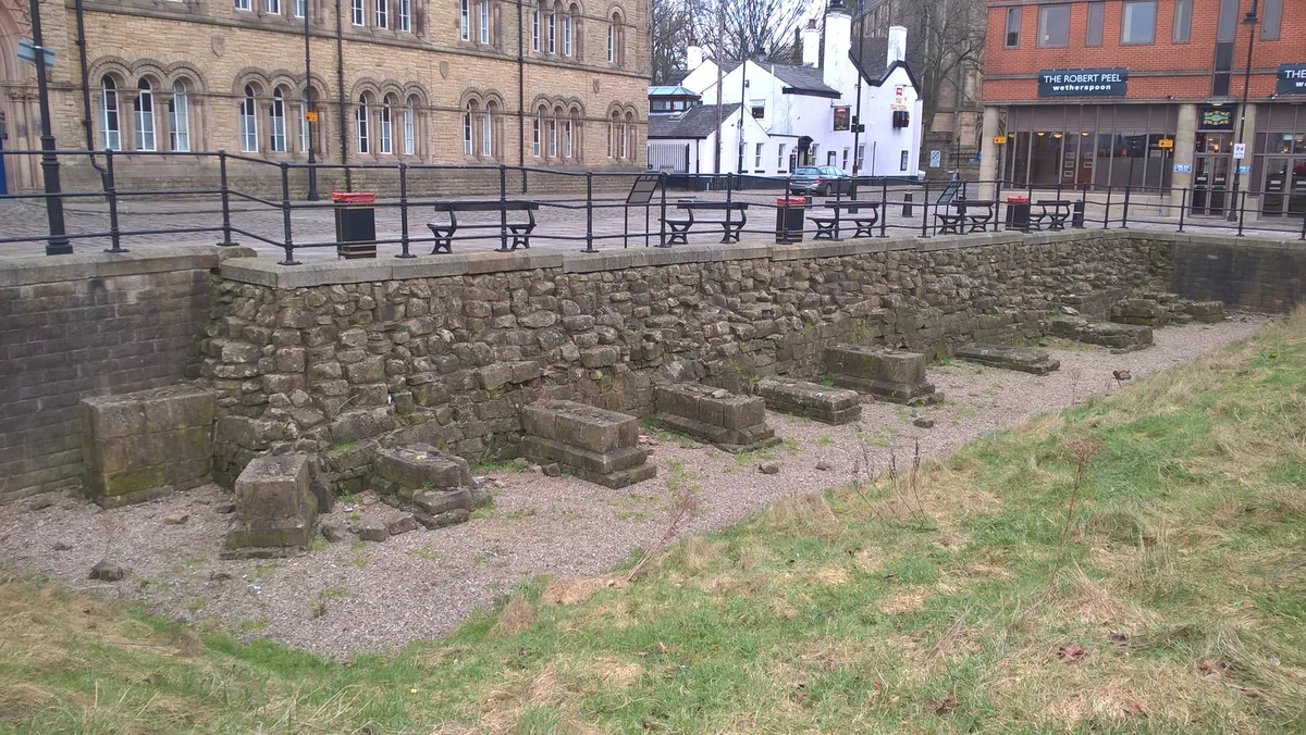
Bury Castle (Remnants)
Bury Castle (Remnants) — a castle in england-north-west, United Kingdom.
 📷 3
📷 3Hill forts · North West England
Bury Castle
Bury Castle — castle in Greater Manchester, England, UK.
 📷 4
📷 4Gardens · North West England
Castle Armoury
Castle Armoury — a garden in england-north-west, United Kingdom.
 📷 5
📷 5Castles · North West England
Bury, Greater Manchester
Bury (, ) is a market town on the River Irwell in the Metropolitan Borough of Bury, Greater Manchester, England. It had a population of 81,101 in 2021, while the wider borough had a population of 193,
 📷 5
📷 5Castles · North West England
Metropolitan Borough of Bury
The Metropolitan Borough of Bury is a metropolitan borough of Greater Manchester in England. It is north of Manchester, to the east of Bolton and west of Rochdale. The borough is centred around the to
 📷 5
📷 5Memorials & monuments · North West England
Peel Memorial
Peel Memorial — a Grade II*-listed memorial in england-north-west, United Kingdom.
More museums in this region
 📷 3
📷 3Museums · North West England
Abbot Hall Art Gallery
Abbot Hall Art Gallery — Grade I listed art museum in Kendal, United Kingdom.
 📷 4
📷 4Museums · North West England
Bancroft Shed
Bancroft Shed — mill museum in Barnoldswick, Pendle, Lancashire, England, UK.
 📷 3
📷 3Museums · North West England
Blackburn Museum and Art Gallery
Blackburn Museum and Art Gallery — museum in Lancashire, England.
 📷 5
📷 5Museums · North West England
Bolton Steam Museum
Bolton Steam Museum — industrial museum in England, United Kingdom.
Frequently asked questions
- Where is East Lancashire Railway?
- East Lancashire Railway is in North West England, in the United Kingdom — coordinates 53.5934°, -2.2997°.
- Is East Lancashire Railway wheelchair accessible?
- Yes — East Lancashire Railway is tagged in OpenStreetMap as wheelchair-accessible.