Hill forts · North West England
Bury Castle
Bury Castle — castle in Greater Manchester, England, UK.

Wikimedia Commons contributors — see linked file page for photographer and licence licence
Plan your visit
- Typical visit
- 1 h–2 h
- Nearest railway station
- Bury, Bolton Street · 0.2 km
- Free entry
- Dog-friendly
About
Bury Castle is a hill fort in the United Kingdom. Heritage designation: scheduled monument. Wikidata describes it as: "castle in Greater Manchester, England, UK". Coordinates: 53.5939°, -2.2986°.
Photo gallery
From the Wikipedia article
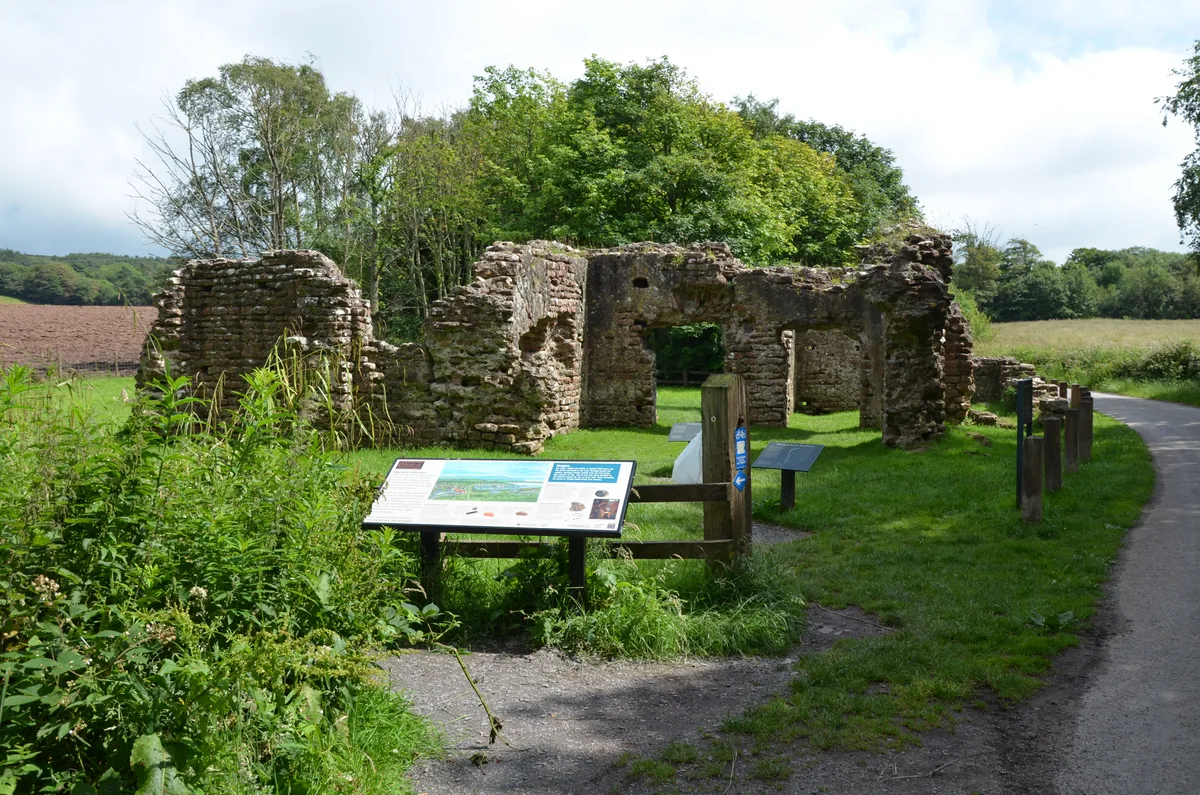
Bury Castle was an early medieval moated manor house in Bury, Greater Manchester, England. Historically part of Lancashire, its remains are listed as a scheduled monument. The manor house was built in 1469 by Sir Thomas Pilkington – lord of the manors of Bury and Pilkington, and an influential member of the Lancashire gentry. He was granted permission by Edward IV to: "'build to make and to construct walls and turrets with stone, lime and sand around and below his manor house in Bury in the County of Lancaster, and to shut in the manor house with such manner of walls and turrets; also to embattle, crenellate and machicolate those towers." It is situated at the top of a slope overlooking the River Irwell, in a strong defensive position. Excavations have revealed six main construction phases on the site. The first phase, dated between 1359 and 1400, produced a house platform surrounded by a moat. The building was razed to the ground (slighted) on the orders of Henry VII after Sir Thomas supported the House of York in the Wars of the Roses, particularly the Battle of Bosworth in 1485. In addition, all of Sir Thomas' lands were confiscated. In 1540 the antiquary John Leland described Bury Castle as "a ruin of a castle by the Parish Church in the town". In 1753 Thomas Percival drew plans of the visible foundations of the castle walls, measuring 600 ft (180 m) by 270 ft (82 m). The ruins were subsequently looted to provide building material for the town of Bury. In 1865 further foundations were discovered, this time of a keep or defensive tower measuring 82 ft (25 m) by 63 ft (19 m), with walls 6 ft (1.8 m) thick. The remains of Bury Castle drew public attention in 1973, when amateur archaeologists uncovered stonework that had previously lain beneath a car park. The site, which is owned by Bury Council and has undergone "restoration and enhancement work", has been open to the public since 2000 and now forms the centrepiece of Castle Square in the town centre. Bury Castle…
Excerpt from Wikipedia under CC BY-SA 4.0. See the source article linked in Sources below.
- Coordinates
- 53.5939, -2.2986
- District
- Bury
- Parish
- Bury, unparished area
- Postcode
- BL9 0LJ
- Parliamentary constituency
- Bury North
- Established
- 1469
- Nearest railway station
- Bury, Bolton Street — 0.2 km
- Official site
- www.eastlancsrailway.org.uk
Sources
- wikidata: Q5001076 (CC0)
- wikipedia: Bury Castle, Greater Manchester (CC BY-SA 4.0)
- commons: Bury Castle moat wall.jpg (CC BY-SA 4.0)
Other places nearby
Loading nearby places…
Nearby
 📷 3
📷 3Castles · North West England
Bury Castle (Remnants)
Bury Castle (Remnants) — a castle in england-north-west, United Kingdom.
 📷 4
📷 4Gardens · North West England
Castle Armoury
Castle Armoury — a garden in england-north-west, United Kingdom.
 📷 5
📷 5Memorials & monuments · North West England
Peel Memorial
Peel Memorial — a Grade II*-listed memorial in england-north-west, United Kingdom.
 📷 4
📷 4Memorials & monuments · North West England
Bury War Memorial
Bury War Memorial — Grade II* listed building-listed memorial in england-north-west, United Kingdom.
 📷 5
📷 5Museums · North West England
East Lancashire Railway
The East Lancashire Railway is a twelve-and-a-half-mile (20 km) heritage railway line in North West England which runs between Heywood, Greater Manchester, and Rawtenstall, Lancashire. There are inte
 📷 5
📷 5Castles · North West England
Bury, Greater Manchester
Bury (, ) is a market town on the River Irwell in the Metropolitan Borough of Bury, Greater Manchester, England. It had a population of 81,101 in 2021, while the wider borough had a population of 193,
More places in this region
 📷 5
📷 5Hill forts · North West England
Buckton Castle
Buckton Castle — 12th-century castle in Mossley, Greater Manchester, England, UK.
 📷 3
📷 3Hill forts · North West England
Glannoventa
Glannoventa — Roman fort and settlement.
 📷 5
📷 5Hill forts · North West England
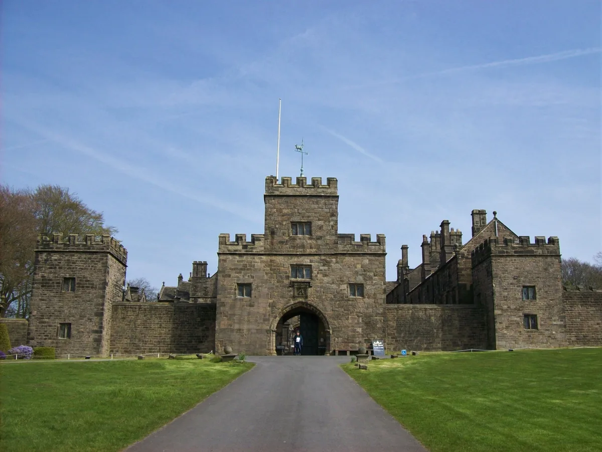
Hoghton Tower
Hoghton Tower — Grade I listed house in Hoghton, Lancashire, England, United Kingdom.
 📷 5
📷 5Hill forts · North West England
Ravenglass Roman Bath House
Ravenglass Roman Bath House — archaeological site at Ravenglass, United Kingdom.
Frequently asked questions
- Where is Bury Castle?
- Bury Castle is in North-West England, United Kingdom (postcode BL9 0LJ), in the parish of Bury, unparished area.
- When was Bury Castle built?
- Built or established in 1469.
- Is Bury Castle a listed building?
- Bury Castle is officially recognised as scheduled monument listed.
- Is Bury Castle free to visit?
- Yes, Bury Castle is free to enter.
- How do I get to Bury Castle?
- The nearest railway station is Bury, Bolton Street, about 0.2 km away. Drivers can navigate to postcode BL9 0LJ.