Towns & cities · Northern Ireland
Dungiven
Also known as: Dún Geimhin
Dungiven — town, townland and civil parish in County Londonderry, Northern Ireland.

Wikimedia Commons contributors — see linked file page for photographer and licence licence
Plan your visit
- Typical visit
- 3 h–6 h
- Free entry
- Family-friendly
- Dog-friendly
About
Dungiven is a town, city, village or settlement in the United Kingdom. Recent population estimates put it at around 3,346 people. Address: BT47. Wikidata describes it as: "town, townland and civil parish in County Londonderry, Northern Ireland". Coordinates: 54.9280°, -6.9250°.
Photo gallery
From the Wikipedia article
Dungiven (from Irish Dún Geimhin, meaning 'Gevin's fort') is a small town, townland and civil parish in County Londonderry, Northern Ireland. It is near the main A6 Belfast to Derry road, which bypasses the town. It lies where the rivers Roe, Owenreagh and Owenbeg meet at the foot of the 1,525 ft (465 m) Benbradagh. Nearby is the Glenshane Pass, where the road rises to over 1,000 ft (300 m). It had a population of 3,346 people in the 2021 census. It is within Causeway Coast and Glens district council area.
Excerpt from Wikipedia under CC BY-SA 4.0. See the source article linked in Sources below.
Background
History
There is evidence of settlement in the area for at least 1000 years. The Boviel Wedge cairn is located two miles east of Dungiven. Excavations in 1938 uncovered cremated bones from the Neolithic period, pottery sherds, scrapers, an arrowhead and a polished stone axe. There may have been an abbey in the area around 700AD. The Augustinian abbey of St Mary's was built in the 11th century. Its ruins contain the tomb of O'Cahan (Cooey na Gall O' Cahan), laid to rest in 1385. A thicket of thorn bushes hung with rags conceals a bullaun stone, visited for wart cures. Between the 12th and 17th centuries the area was ruled by the Ó Catháin clan, one of the most influential clans in Ulster The town…
Description
During The Troubles in Northern Ireland, seven people were killed in or near Dungiven in connection with the conflict, six of whom were members of the security forces. The one civilian, Francis McCloskey, was found beaten to death in disputed circumstances during street riots, in which the police were called to respond. He has sometimes been deemed as the first person killed in the last installment of the Troubles (1969-1997).
Sourced from Wikipedia under CC BY-SA 4.0.
- Coordinates
- 54.9280, -6.9250
- District
- Causeway Coast and Glens
- Postcode
- BT47
- Parliamentary constituency
- East Londonderry
- Population
- 3,346
Sources
- wikidata: Q1265794 (CC0)
- wikipedia: Dungiven (CC BY-SA 4.0)
- commons: Dungiven Main Street.jpg (CC BY-SA 4.0)
Other places nearby
Loading nearby places…
Nearby
 📷 3
📷 3Theatres · Northern Ireland
St. Canice Hall
St. Canice Hall in Northern Ireland, United Kingdom.
📷 3Natural landmarks · Northern Ireland
Dungiven railway station
Dungiven railway station in Northern Ireland, United Kingdom.
 📷 3
📷 3Castles · Northern Ireland
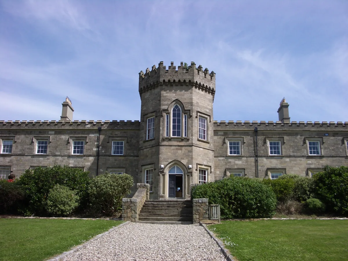
Dungiven Castle
Dungiven Castle — 19th century castle in County Londonderry, Northern Ireland.
 📷 3
📷 3Natural landmarks · Northern Ireland
Dungiven GAC
Dungiven GAC in Northern Ireland, United Kingdom.
 📷 3
📷 3Abbeys & priories · Northern Ireland
Dungiven Priory
Dungiven Priory — a abbey in northern-ireland, United Kingdom.

Natural landmarks · Northern Ireland
Londonderry County
Londonderry County in Northern Ireland, United Kingdom.
More towns in this region
 Flagship📷 5
Towns & cities · Northern Ireland
Bangor
Bangor — city in Northern Ireland, United Kingdom.
 Flagship📷 5
Towns & cities · Northern Ireland
Belfast
Belfast — capital city of Northern Ireland.
 Flagship📷 3
Towns & cities · Northern Ireland
Derry
Derry — city in Northern Ireland.
 Flagship📷 5
Towns & cities · Northern Ireland
Lisburn
Lisburn — city in Northern Ireland.
Frequently asked questions
- Where is Dungiven?
- Dungiven is in Northern Ireland, United Kingdom (postcode BT47).
- Is Dungiven free to visit?
- Yes, Dungiven is free to enter.
- How do I get to Dungiven?
- Drivers can navigate to postcode BT47. It sits within the East Londonderry parliamentary constituency.