Towns & cities · Northern Ireland
Derrynaflaw
Derrynaflaw — village in County Londonderry, Northern Ireland, UK.

Kenneth Allen — CC BY-SA 2.0 via Wikimedia Commons licence
_-_geograph.org.uk_-_595257.jpg)
Plan your visit
- Typical visit
- 3 h–6 h
- Free entry
- Family-friendly
- Dog-friendly
About
Derrynaflaw is a town, city, village or settlement in the United Kingdom. Wikidata describes it as: "village in County Londonderry, Northern Ireland, UK". Coordinates: 54.9270°, -6.9650°.
From the Wikipedia article
Derrynaflaw (likely from Irish Doire na Flatha, meaning 'the oakgrove of the chief'), also known as Dernaflaw, is a small village and townland in County Londonderry, Northern Ireland. It is about 2 kilometres west of Dungiven on the Foreglen Road. It is designated as a Hamlet and in the 2001 Census it had a population of 168 people. It lies within Causeway Coast and Glens district.
Excerpt from Wikipedia under CC BY-SA 4.0. See the source article linked in Sources below.
Background
Description
The Foreglen Road bisects the settlement creating two separate housing clusters (old and new Derrynaflaw). It has basic community facilities. Recent private sector housing development complements the longer established public authority housing. The Owenbeg River a tributary to the River Roe flows just below the village passing under the Old Owenbeg Bridge.
Sourced from Wikipedia under CC BY-SA 4.0.
- Coordinates
- 54.9270, -6.9650
- District
- Causeway Coast and Glens
- Postcode
- BT47 4JY
- Parliamentary constituency
- East Londonderry
Sources
- wikidata: Q482373 (CC0)
- wikipedia: Derrynaflaw (CC BY-SA 4.0)
Other places nearby
Loading nearby places…
Nearby

Natural landmarks · Northern Ireland
Londonderry County
Londonderry County in Northern Ireland, United Kingdom.
 📷 3
📷 3Theatres · Northern Ireland
St. Canice Hall
St. Canice Hall in Northern Ireland, United Kingdom.
 📷 4
📷 4Towns & cities · Northern Ireland
Dungiven
Dungiven — town, townland and civil parish in County Londonderry, Northern Ireland.
📷 3Natural landmarks · Northern Ireland
Dungiven railway station
Dungiven railway station in Northern Ireland, United Kingdom.
 📷 3
📷 3Castles · Northern Ireland
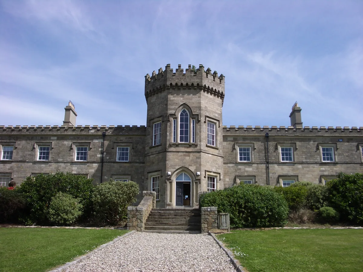
Dungiven Castle
Dungiven Castle — 19th century castle in County Londonderry, Northern Ireland.
 📷 4
📷 4Historic churches · Northern Ireland
Banagher Old Church
Banagher Old Church in Northern Ireland, United Kingdom.
More towns in this region
 Flagship📷 5
Towns & cities · Northern Ireland
Bangor
Bangor — city in Northern Ireland, United Kingdom.
 Flagship📷 5
Towns & cities · Northern Ireland
Belfast
Belfast — capital city of Northern Ireland.
 Flagship📷 3
Towns & cities · Northern Ireland
Derry
Derry — city in Northern Ireland.
 Flagship📷 5
Towns & cities · Northern Ireland
Lisburn
Lisburn — city in Northern Ireland.
Frequently asked questions
- Where is Derrynaflaw?
- Derrynaflaw is in Northern Ireland, United Kingdom (postcode BT47 4JY).
- Is Derrynaflaw free to visit?
- Yes, Derrynaflaw is free to enter.
- How do I get to Derrynaflaw?
- Drivers can navigate to postcode BT47 4JY. It sits within the East Londonderry parliamentary constituency.