Hill forts · Scottish Lowlands
Carrawburgh
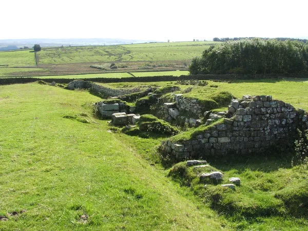
Carrawburgh — Roman fort in Northumberland, England, UK.

Wikimedia Commons contributors — see linked file page for photographer and licence licence
Plan your visit
- Typical visit
- 1 h–2 h
- Nearest railway station
- Haydon Bridge · 6.8 km
- Free entry
- Family-friendly
- Dog-friendly
- Limited wheelchair access
About
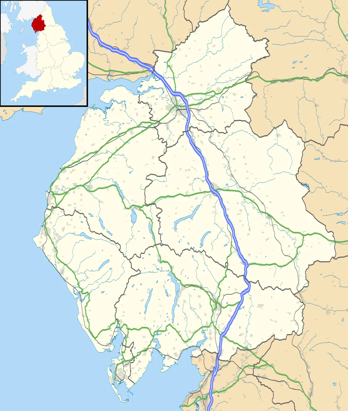
Carrawburgh is a hill fort in the United Kingdom. It covers approximately 13 km². Heritage designation: part of UNESCO World Heritage Site. Owned by English Heritage. Managed by English Heritage. Part of Hadrian's Wall. Wikidata describes it as: "Roman fort in Northumberland, England, UK". Coordinates: 55.0349°, -2.2220°.
Photo gallery
From the Wikipedia article
Carrawburgh is a settlement in Northumberland. In Roman times, it was the site of a 3+1⁄2-acre (1.5 ha) auxiliary fort on Hadrian's Wall called Brocolitia, Procolita, or Brocolita. The name "Procolita" is found in the 5th-century document, the Notitia Dignitatum, and "Brocoliti" in the 7th-century Ravenna Cosmography. The name is probably based on the Celtic name for the place, and one possible translation put forward is 'badger holes'.
Excerpt from Wikipedia under CC BY-SA 4.0. See the source article linked in Sources below.
- Coordinates
- 55.0349, -2.2220
- District
- Northumberland
- Parish
- Simonburn
- Postcode
- NE46 4DB
- Parliamentary constituency
- Hexham
- Nearest railway station
- Haydon Bridge — 6.8 km
- Official site
- www.english-heritage.org.uk
Sources
- wikidata: Q5046041 (CC0)
- wikipedia: Carrawburgh (CC BY-SA 4.0)
- commons: Brocolitiamithraeum.jpg (CC BY-SA 4.0)
Other places nearby
Loading nearby places…
Nearby
 📷 3
📷 3Archaeological sites · Scottish Lowlands
Brocolitia Fort
Brocolitia Fort — a archaeological in scotland-lowlands, United Kingdom.
 📷 3
📷 3Archaeological sites · Scottish Lowlands
mithraeum at Carrawburgh
mithraeum at Carrawburgh — mithraeum adjacent to the Roman fort at Carrawburgh, in Northumberland, England, UK.
 📷 3
📷 3Archaeological sites · Scottish Lowlands
Temple of Mithras
Temple of Mithras — a archaeological in scotland-lowlands, United Kingdom.
 📷 4
📷 4Forts · North East England
Milecastle 31
Milecastle 31 in England North East, United Kingdom.
 📷 3
📷 3Archaeological sites · Scottish Lowlands
Milecastle 32 (Carraw)
Milecastle 32 (Carraw) — a archaeological in scotland-lowlands, United Kingdom.
📷 3Other places · North East England
Milecastle 32
Milecastle 32 in England North East, United Kingdom.
More places run by English Heritage
 Flagship📷 10
Museums · London
Kenwood House
Kenwood House — art museum and historic house in Hampstead, London.
 📷 5
📷 5Galleries · London
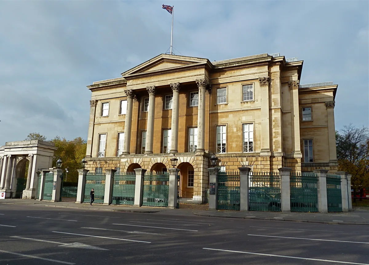
Apsley House
Apsley House — London townhouse of the Dukes of Wellington.
 ★ Iconic📷 5
Abbeys & priories · London
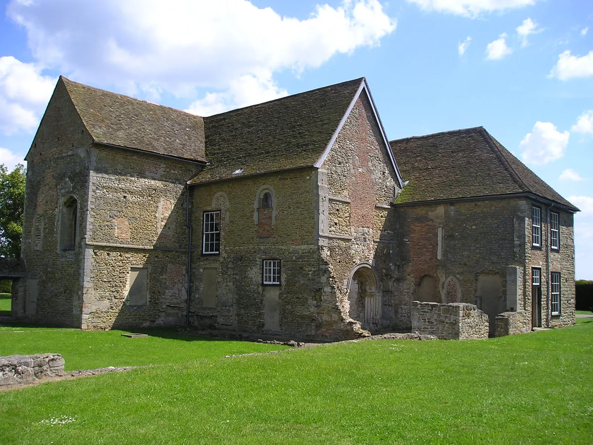
Denny Abbey
Denny Abbey — church in South Cambridgeshire, England, UK.
 📷 5
📷 5Chapels · London
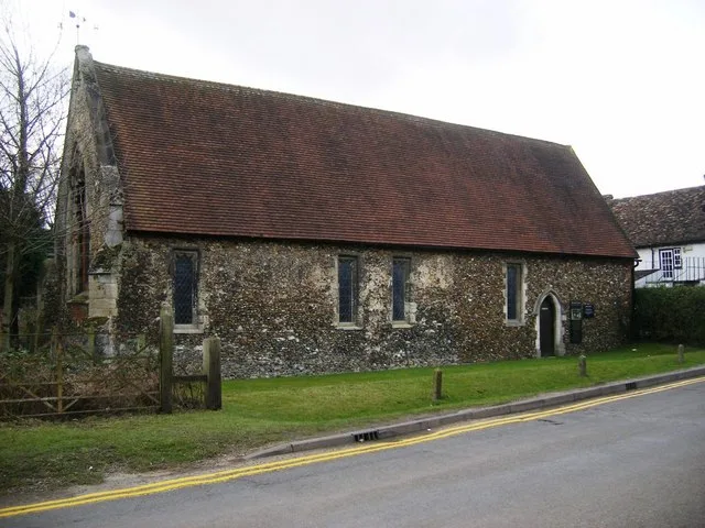
Duxford Chapel
Duxford Chapel — chapel in Whittlesford, Cambridgeshire, England, UK.
More places in this region
 📷 3
📷 3Hill forts · Scottish Lowlands
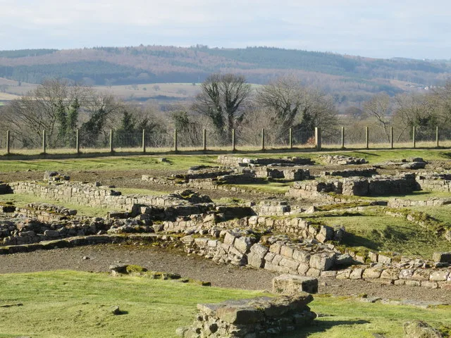
Aesica
Aesica — Roman fort, archaeological site in Northumberland, England, UK.
 📷 3
📷 3Hill forts · Scottish Lowlands
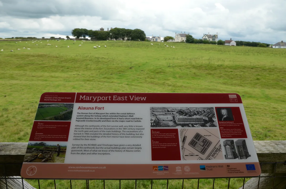
Alauna
Alauna — Roman fort and settlement on the site of present-day Maryport in Cumbria, England, UK.
 📷 3
📷 3Hill forts · Scottish Lowlands
Coria
Coria — archaeological site in Corbridge, Northumberland, England, UK.
 📷 3
📷 3Hill forts · Scottish Lowlands
Aballava
Aballava is a hill fort in the United Kingdom.
Frequently asked questions
- Where is Carrawburgh?
- Carrawburgh is in the Scottish Lowlands, United Kingdom (postcode NE46 4DB), in the parish of Simonburn.
- Who runs Carrawburgh?
- Carrawburgh is operated by English Heritage.
- Is Carrawburgh a listed building?
- Carrawburgh is officially recognised as part of UNESCO World Heritage Site listed.
- Is Carrawburgh free to visit?
- Yes, Carrawburgh is free to enter.
- How do I get to Carrawburgh?
- The nearest railway station is Haydon Bridge, about 6.8 km away. Drivers can navigate to postcode NE46 4DB.