Natural landmarks · Mid Wales
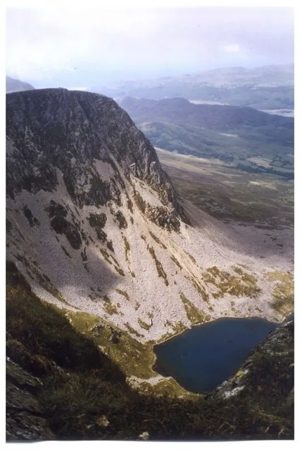
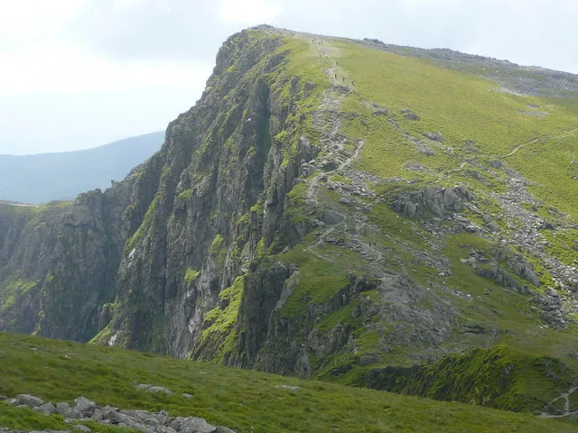
Cadair Idris
Also known as: Cader Idris
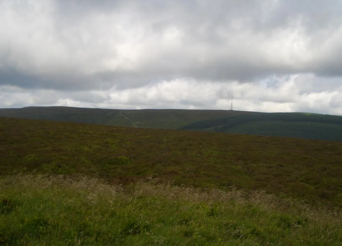
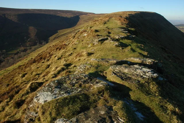
Cadair Idris is a natural landmark in the United Kingdom.

Wikimedia Commons contributors — see linked file page for photographer and licence licence
Plan your visit
- Typical visit
- 1 h–2 h
- Nearest railway station
- Corris · 6.9 km
- Free entry
- Dog-friendly
About
Cadair Idris is a named natural landmark in the United Kingdom. Heritage designation: Site of Special Scientific Interest. Coordinates: 52.6998°, -3.9087°.
Photo gallery
From the Wikipedia article
Cadair Idris () or Cader Idris is a mountain in the Meirionnydd area of Gwynedd, Wales. It lies at the southern end of the Snowdonia National Park near the town of Dolgellau. The peak, which is one of the most popular in Wales for walkers and hikers, is composed largely of Ordovician igneous rocks, with classic glacial erosion features such as cwms, moraines, striated rocks, and roches moutonnées.
Excerpt from Wikipedia under CC BY-SA 4.0. See the source article linked in Sources below.
- Coordinates
- 52.6998, -3.9087
- Address
- Gwynedd, Wales
- Nearest railway station
- Corris — 6.9 km
Sources
- wikidata: Q774479 (CC0)
- wikipedia: Cadair Idris (CC BY-SA 4.0)
- commons: Cadair Idris from Bwlch y Rhiwgyr.jpg (CC BY-SA 4.0)
Other places nearby
Loading nearby places…
Nearby
 📷 5
📷 5Mountains & hills · Mid Wales
Cadair Idris
Cadair Idris — Named summit at 893 m.
 📷 3
📷 3Mountains & hills · Mid Wales
Penygadair
Penygadair — a mountain in wales-mid, United Kingdom, 893 m.
 📷 3
📷 3Natural landmarks · North Wales
Cyfrwy
Cyfrwy — mountain (811m) in Gwynedd.
 📷 3
📷 3Mountains & hills · North Wales
Cyfrwy
Cyfrwy — Named summit at 811 m.
 📷 3
📷 3Mountains & hills · Mid Wales
Craig Cwm Amarch
Craig Cwm Amarch — Named summit at 791 m.
 📷 3
📷 3Natural landmarks · Mid Wales
Craig Cwm Amarch
Craig Cwm Amarch — mountain (791.9m) in Gwynedd.
More natural landmarks in this region
 Flagship📷 3
Natural landmarks · Mid Wales
Bomere Pool
Bomere Pool — lake in Shropshire, England, UK.
 📷 3
📷 3Natural landmarks · Mid Wales
Craig-y-llyn
Craig-y-llyn — mountain (622m) in Gwynedd, Wales.
 📷 3
📷 3Natural landmarks · Mid Wales
Bache Hill
Bache Hill — mountain (610m) in Powys.
 📷 3
📷 3Natural landmarks · Mid Wales
Black Hill
Black Hill — mountain in Herefordshire, England, United Kingdom.
Frequently asked questions
- Where is Cadair Idris?
- Cadair Idris is in Mid Wales, United Kingdom.
- Is Cadair Idris a listed building?
- Cadair Idris is officially recognised as Site of Special Scientific Interest listed.
- Is Cadair Idris free to visit?
- Yes, Cadair Idris is free to enter.
- How do I get to Cadair Idris?
- The nearest railway station is Corris, about 6.9 km away.