Mountains & hills · Yorkshire & the Humber
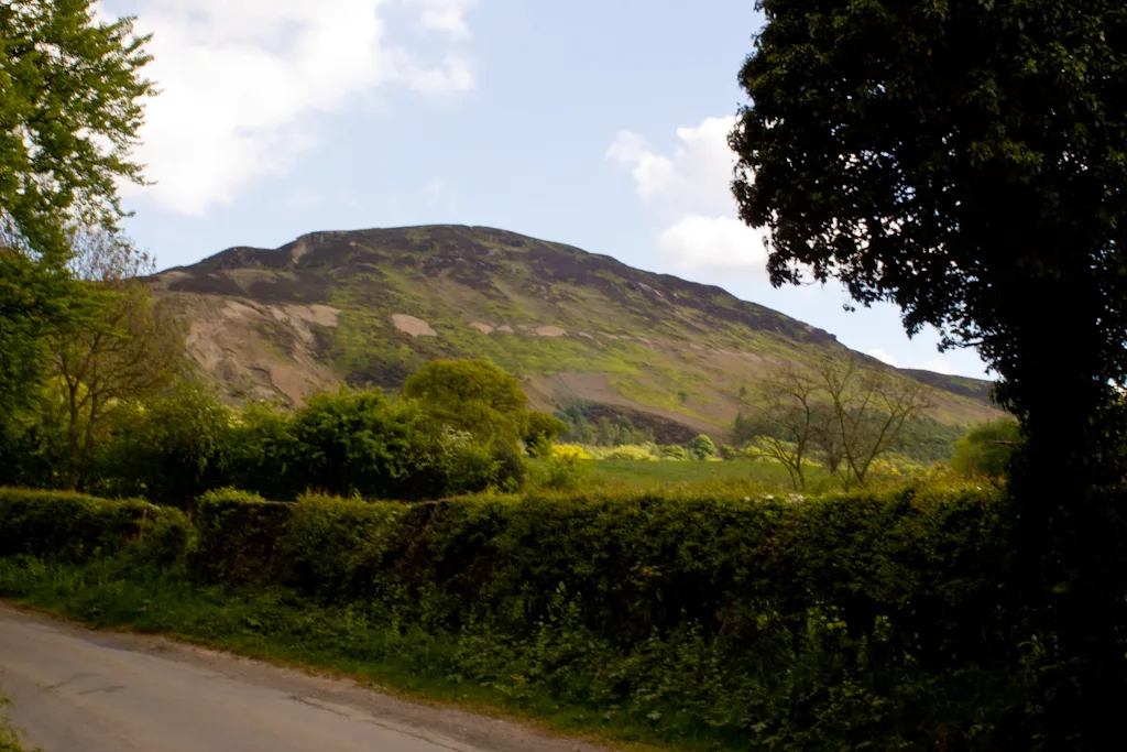
Britland Edge Hill
Britland Edge Hill — Named summit at 523 m.

Wikimedia Commons contributors — see linked file page for photographer and licence licence
Plan your visit
- Typical visit
- 3 h–8 h
- Best time of year
- Late spring – early autumn (May–Oct)
- Nearest railway station
- Brockholes · 9.8 km
- Free entry
- Dog-friendly
About
Britland Edge Hill is a named summit in the United Kingdom. Wikidata describes it as: "Named summit at 523 m.". Coordinates: 53.5199°, -1.8416°.
Photo gallery
Protected designations
- Site of Special Scientific Interest: Dark Peak SSSI
Designations sourced from Natural England open data under OGL v3.
From the Wikipedia article
Britland Edge Hill is a hill, 523 metres (1,716 ft) high, in the Peak District in England. It is located on the border of Derbyshire and West Yorkshire.
Excerpt from Wikipedia under CC BY-SA 4.0. See the source article linked in Sources below.
Background
Description
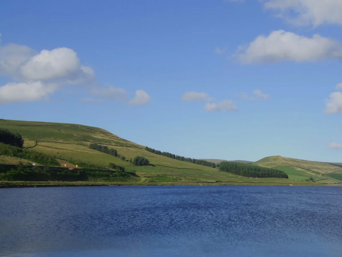
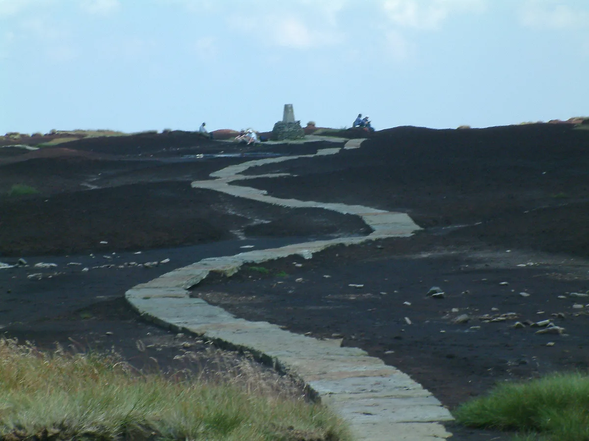
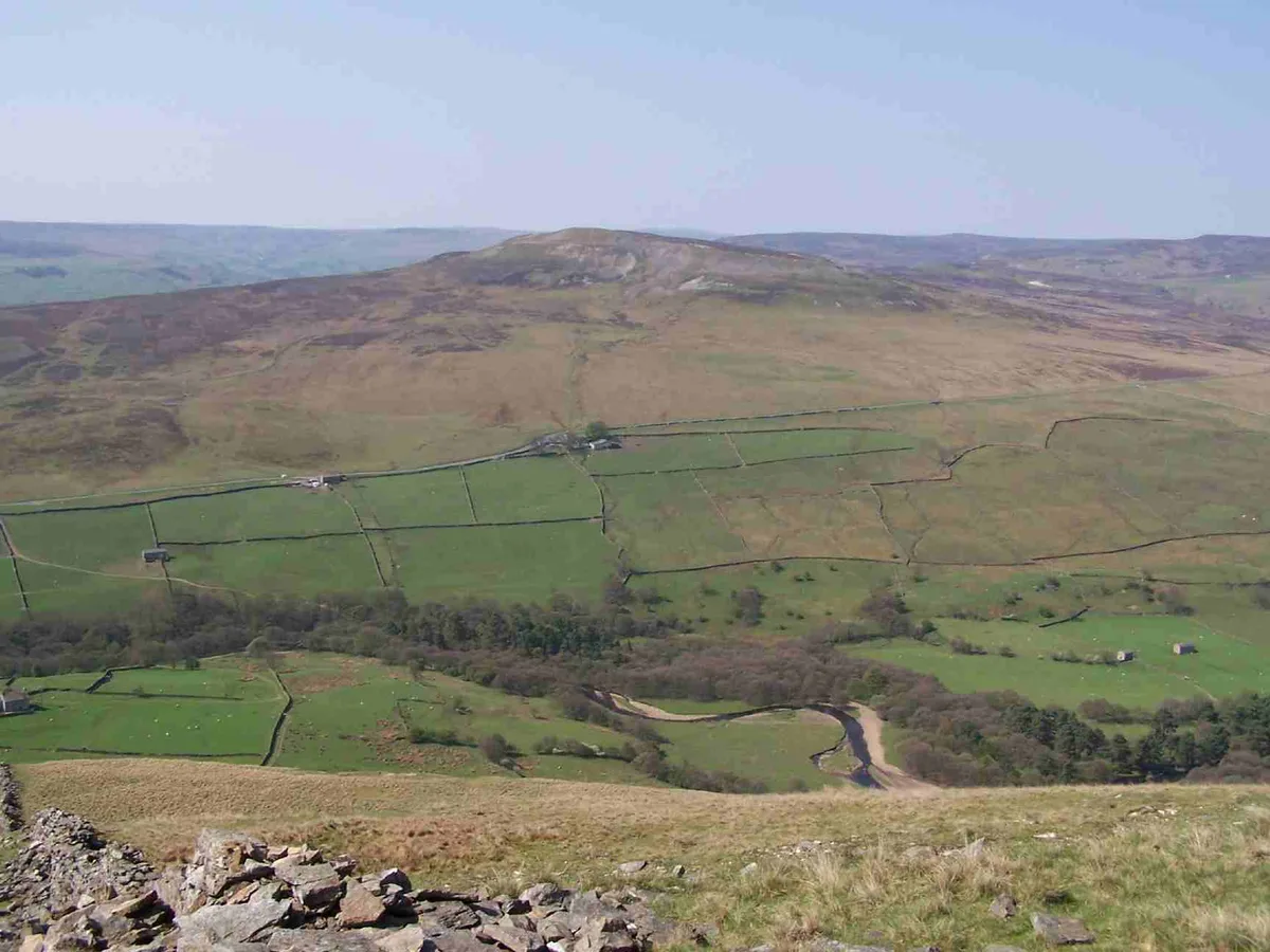
Britland Edge Hill is a prominent hill in the northern Peak District between the towns of Glossop and Holmfirth. It rises east of the A6024. To the south it descends to a prominent spur, known as Dewhill Naze, which in turn drops steeply into the valley of the Heyden Brook and Woodhead Reservoir. The hill, like most of the surrounding area is bare and open. There are no footpaths to the top, but there is a car park about 1.5 km to the north-northwest, where the A6024 crosses the adjoining ridge of Upper Heyden.
Sourced from Wikipedia under CC BY-SA 4.0.
- Coordinates
- 53.5199, -1.8416
- Address
- Derbyshire, England, UK
- Nearest railway station
- Brockholes — 9.8 km
Sources
- osm: n340145312 (ODbL)
- wikipedia: Britland Edge Hill (CC BY-SA 4.0)
- commons: Tooleyshaw Moor - geograph.org.uk - 423619.jpg (CC BY-SA 4.0)
Other places nearby
Loading nearby places…
Nearby
 📷 5
📷 5Reservoirs & lochs · East Midlands
Woodhead Reservoir
Woodhead Reservoir — reservoir in Derbyshire, England, UK.
 📷 3
📷 3Mountains & hills · Yorkshire & the Humber
Black Hill
Black Hill — Named summit at 582 m.
Caravan parks · Yorkshire & the Humber
Whitegate Leisure Camping & Caravan Site
Whitegate Leisure Camping & Caravan Site — a caravan park in england yorkshire.
 📷 5
📷 5Public art & sculpture · Yorkshire & the Humber
Three Arches
Three Arches — a public art in england-yorkshire, United Kingdom.
 📷 3
📷 3Galleries · Yorkshire & the Humber
The Sculpture Lounge
The Sculpture Lounge — a gallery in england-yorkshire, United Kingdom.
 📷 3
📷 3Reservoirs & lochs · Yorkshire & the Humber
Digley Reservoir
Digley Reservoir — reservoir in West Yorkshire, England, UK.
More mountains in this region
 📷 3
📷 3Mountains & hills · Yorkshire & the Humber
Black Chew Head
Black Chew Head — Named summit at 542 m.
📷 3Mountains & hills · Yorkshire & the Humber
Black Hill
Black Hill — Named summit at 582 m.
 📷 3
📷 3Mountains & hills · Yorkshire & the Humber
Calver Hill
Calver Hill — Named summit at 493 m.
 📷 5
📷 5Mountains & hills · Yorkshire & the Humber
Carlton Bank
Carlton Bank — Named summit at 408 m.
Frequently asked questions
- Where is Britland Edge Hill?
- Britland Edge Hill is in Yorkshire, United Kingdom.
- Is Britland Edge Hill a protected site?
- Yes — Britland Edge Hill is part of the Dark Peak SSSI Site of Special Scientific Interest.
- Is Britland Edge Hill free to visit?
- Yes, Britland Edge Hill is free to enter.