Towns & cities · Yorkshire & the Humber
Brеighton
Brеighton — village in Yorkshire, England.

Wikimedia Commons contributors — see linked file page for photographer and licence licence
Plan your visit
- Typical visit
- 3 h–6 h
- Nearest railway station
- Wressle · 2.7 km
- Free entry
- Family-friendly
- Dog-friendly
About
Brеighton is a town, city, village or settlement in the United Kingdom. Wikidata describes it as: "village in Yorkshire, England". Coordinates: 53.7969°, -0.9241°.
Photo gallery
Protected designations
- Site of Special Scientific Interest: River Derwent SSSI
- Site of Special Scientific Interest: Breighton Meadows SSSI
- National Nature Reserve: LOWER DERWENT VALLEY
Designations sourced from Natural England open data under OGL v3.
From the Wikipedia article
Breighton is a village in the East Riding of Yorkshire, England. It is situated on the east bank of the River Derwent, approximately 5 miles (8 km) north-west of Howden. It forms part of the civil parish of Bubwith.
Excerpt from Wikipedia under CC BY-SA 4.0. See the source article linked in Sources below.
Background
History
Breighton as a village is very historic, with it likely being founded as a result of the Menthrope Ferry, often referred to the ferry boat by locals. The name Breighton derives from either the Old English beorht meaning 'bright' or the Old Norse personal name Beorhta, and the Old English tūn meaning 'settlement'. The village was recorded as Bricstune in the Domesday Book around 1086. Breighton village has existed since at least 1361, with it being recorded that the manor house was in Ruin at the time. By 1433 it had been rebuilt as Eleanor, the daughter of Sir Robert Roos, was born in the building which was recorded due to the requirement to verify the date of birth in 1499. Other than this…
Sourced from Wikipedia under CC BY-SA 4.0.
- Coordinates
- 53.7969, -0.9241
- District
- East Riding of Yorkshire
- Parish
- Bubwith
- Postcode
- YO8 6DH
- Parliamentary constituency
- Goole and Pocklington
- Nearest railway station
- Wressle — 2.7 km
Sources
- wikidata: Q74 (CC0)
- wikipedia: Breighton (CC BY-SA 4.0)
- commons: Breighton South.jpg (CC BY-SA 4.0)
Other places nearby
Loading nearby places…
Nearby
 📷 5
📷 5Memorials & monuments · Yorkshire & the Humber
Gate Guardian
Gate Guardian is a memorial in the United Kingdom.
 📷 2
📷 2Historic houses · Yorkshire & the Humber
Holmes House
Holmes House — house in Cliffe, Selby, England, UK.
 📷 3
📷 3Historic houses · Yorkshire & the Humber
The Bakehouse
The Bakehouse — a historic house in england-yorkshire, United Kingdom.
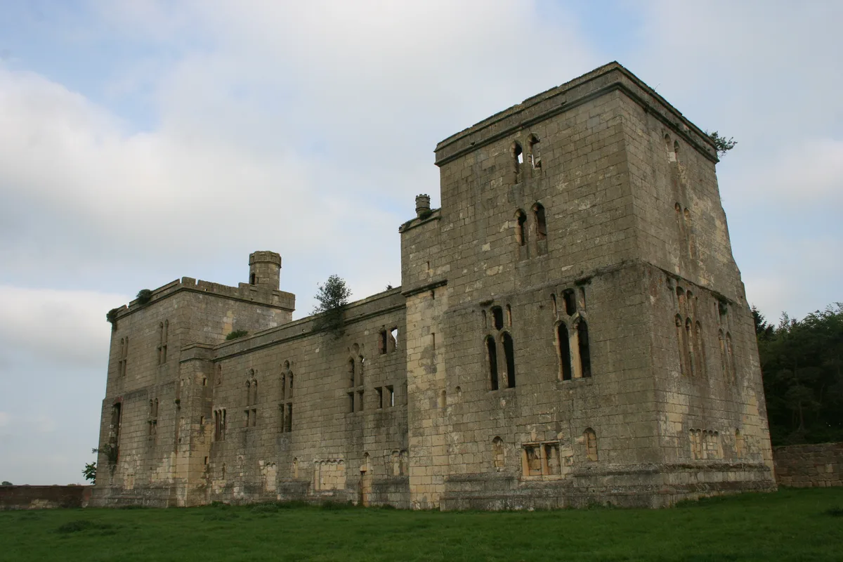
📷 3Castles · Yorkshire & the Humber
Wressle Castle South Range
Wressle Castle South Range — a castle in england-yorkshire, United Kingdom.
 📷 3
📷 3Hill forts · Yorkshire & the Humber
Wressle Castle
Wressle Castle — late 14th-century quadrangular castle in East Yorkshire, England, UK.
 📷 3
📷 3Historic bridges · Yorkshire & the Humber
Derwent Bridge
Derwent Bridge is a historic bridge in the United Kingdom.
More towns in this region
 Flagship📷 4
Towns & cities · Yorkshire & the Humber
Bradford
Bradford — city and largest settlement in the City of Bradford district, Yorkshire, England.
 Flagship📷 5
Towns & cities · Yorkshire & the Humber
Coxwold
Coxwold — village and civil parish in North Yorkshire, England.
 Flagship📷 5
Towns & cities · Yorkshire & the Humber
Great Ayton
Great Ayton — village in North Yorkshire, England, UK.
May2005.jpg?width=1200) Flagship📷 5
Flagship📷 5Towns & cities · Yorkshire & the Humber
Great Langton
Great Langton — village in North Yorkshire, England, UK.
Frequently asked questions
- Where is Brеighton?
- Brеighton is in Yorkshire, United Kingdom (postcode YO8 6DH), in the parish of Bubwith.
- Is Brеighton a protected site?
- Yes — Brеighton is part of the River Derwent SSSI Site of Special Scientific Interest and the Breighton Meadows SSSI Site of Special Scientific Interest.
- Is Brеighton free to visit?
- Yes, Brеighton is free to enter.
- How do I get to Brеighton?
- The nearest railway station is Wressle, about 2.7 km away. Drivers can navigate to postcode YO8 6DH.