Reservoirs & lochs · East Midlands
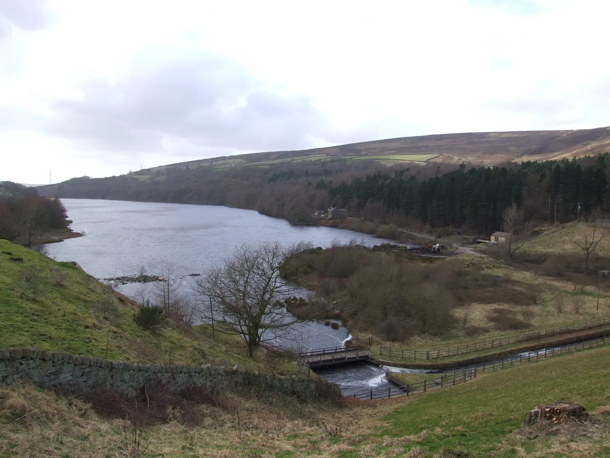
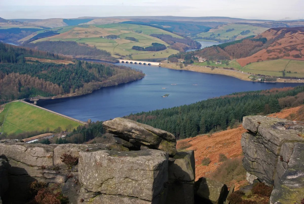
Bottoms Reservoir
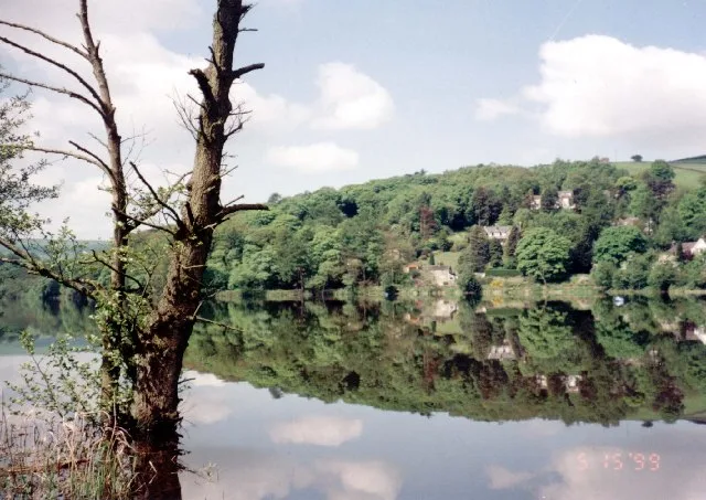
Bottoms Reservoir — reservoir in Derbyshire, England, UK.

Wikimedia Commons contributors — see linked file page for photographer and licence licence
Plan your visit
- Typical visit
- 1 h–2.5 h
- Nearest railway station
- Hadfield · 1.0 km
- Free entry
- Dog-friendly
About
Bottoms Reservoir is a reservoir in the United Kingdom. Managed by Manchester Corporation Water Works. Part of Longdendale Chain. Wikidata describes it as: "reservoir in Derbyshire, England, UK". Coordinates: 53.4690°, -1.9610°.
Photo gallery
Protected designations
- Site of Special Scientific Interest: Dark Peak SSSI
Designations sourced from Natural England open data under OGL v3.
From the Wikipedia article
Bottoms Reservoir is a man-made lake in Longdendale in north Derbyshire, England. It was constructed between 1865 and 1877, by John Frederick Bateman as part of the Longdendale Chain of reservoirs to supply water from the River Etherow to the urban areas of Greater Manchester. The upper reservoirs supplied the drinking water, while Bottoms and Vale House reservoirs regulated the flow downstream for the benefit of local water-powered mills. The reservoir was obliged to release ten million gallons a day. To ensure this, a gauging basin 40 feet (12 m) in diameter was built. The drinking water flowed through the Mottram Tunnel to the Godley covered reservoir. The Peak District Boundary Walk runs along the south-western side of the reservoir and over the dam.
Excerpt from Wikipedia under CC BY-SA 4.0. See the source article linked in Sources below.
Background
History
In 1877, turbines were introduced at Bottoms to produce electricity that powered the company offices and the works electric train. These operated for 28 years. In 1998, remedial safety work was undertaken. The clay core and crest was raised by 2.5 m, and a dry metalled track constructed on the crest. The bywash channel bridge was replaced to give greater clearance, and the stonework of the bywash channel and the tumbling bay was repointed.
Sourced from Wikipedia under CC BY-SA 4.0.
- Coordinates
- 53.4690, -1.9610
- County
- Derbyshire
- District
- High Peak
- Parish
- Tintwistle
- Postcode
- SK13 1HS
- Parliamentary constituency
- High Peak
- Nearest railway station
- Hadfield — 1 km
Sources
- wikidata: Q4949167 (CC0)
- wikipedia: Bottoms Reservoir (Derbyshire) (CC BY-SA 4.0)
- commons: Longdendale4654.JPG (CC BY-SA 4.0)
Other places nearby
Loading nearby places…
Nearby
Climbing & bouldering crags · East Midlands
Bottoms Quarry
Bottoms Quarry — a climbing crag in england east midlands.
 📷 3
📷 3Chapels · East Midlands
Ebenezer Chapel
Ebenezer Chapel — chapel in Tintwistle, High Peak, Derbyshire, England, UK.
Campsites · East Midlands
Crossgate Farm Campsite
Crossgate Farm Campsite — a campsite in england east midlands.
 📷 5
📷 5Museums · East Midlands
Hadfield, Derbyshire
Hadfield is a town in the High Peak of Derbyshire, England; it had a population of 6,763 at the 2021 Census. It lies on the south side of the River Etherow, near to the border with Greater Manchester,
 📷 3
📷 3Reservoirs & lochs · East Midlands
Valehouse Reservoir
Valehouse Reservoir — reservoir in Derbyshire, England, UK.
Caravan parks · East Midlands
Windy Harbour Hotel Caravan and Camping Site
Windy Harbour Hotel Caravan and Camping Site — a caravan park in england east midlands.
More places run by Manchester Corporation Water Works
 📷 5
📷 5Reservoirs & lochs · East Midlands
Arnfield Reservoir
Arnfield Reservoir — reservoir in Derbyshire, England, UK.
 📷 3
📷 3Reservoirs & lochs · East Midlands
Hollingworth Reservoir
Hollingworth Reservoir — former reservoir in Derbyshire/Greater Manchester, England, UK.
 📷 3
📷 3Reservoirs & lochs · East Midlands
Rhodeswood Reservoir
Rhodeswood Reservoir — reservoir in Derbyshire, England, UK.
 📷 3
📷 3Reservoirs & lochs · East Midlands
Torside Reservoir
Torside Reservoir — reservoir in Derbyshire, England, UK.
More places in this region
 Flagship📷 5
Reservoirs & lochs · East Midlands
Ladybower Reservoir
Ladybower Reservoir — reservoir in Derbyshire, England.
 📷 3
📷 3Reservoirs & lochs · East Midlands
Toddbrook Reservoir
Toddbrook Reservoir — reservoir in Derbyshire, England, UK.
 📷 3
📷 3Reservoirs & lochs · East Midlands
Agden Reservoir
Agden Reservoir — reservoir in South Yorkshire, England, UK.
 📷 3
📷 3Reservoirs & lochs · East Midlands
Blackbrook Reservoir
Blackbrook Reservoir — reservoir and Site of Special Scientific Interest in Leicestershire, United Kingdom.
Frequently asked questions
- Where is Bottoms Reservoir?
- Bottoms Reservoir is in Derbyshire, the East Midlands, United Kingdom (postcode SK13 1HS), in the parish of Tintwistle.
- Who runs Bottoms Reservoir?
- Bottoms Reservoir is operated by Manchester Corporation Water Works.
- Is Bottoms Reservoir a protected site?
- Yes — Bottoms Reservoir is part of the Dark Peak SSSI Site of Special Scientific Interest.
- How do I get to Bottoms Reservoir?
- The nearest railway station is Hadfield, about 1.0 km away. Drivers can navigate to postcode SK13 1HS.