Reservoirs & lochs · East Midlands
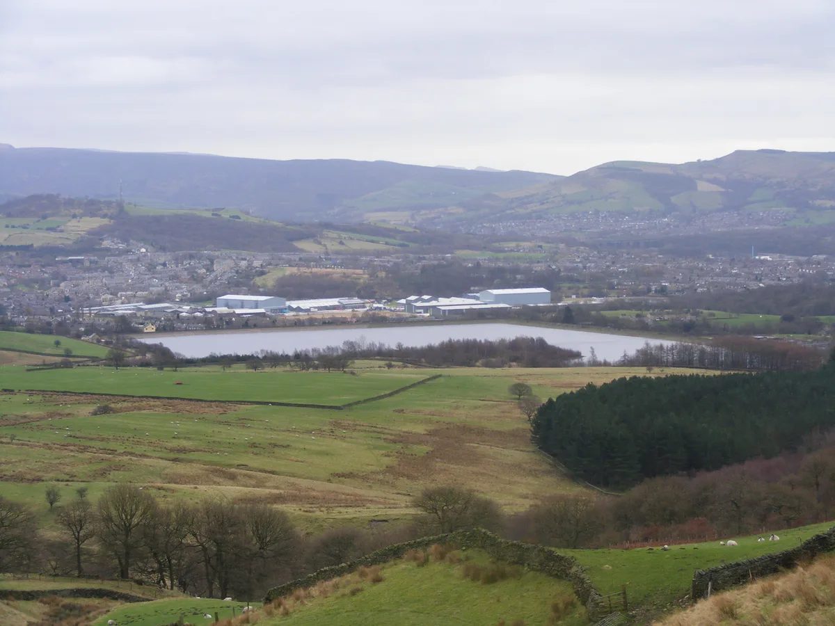
Toddbrook Reservoir
Toddbrook Reservoir — reservoir in Derbyshire, England, UK.

Wikimedia Commons contributors — see linked file page for photographer and licence licence
Plan your visit
- Typical visit
- 1 h–2.5 h
- Nearest railway station
- Whaley Bridge · 0.8 km
- Free entry
- Dog-friendly
About
Toddbrook Reservoir is a reservoir in the United Kingdom. Heritage designation: Site of Special Scientific Interest. Wikidata describes it as: "reservoir in Derbyshire, England, UK". Coordinates: 53.3250°, -1.9936°.
Photo gallery
Protected designations
- Site of Special Scientific Interest: Toddbrook Reservoir SSSI
Designations sourced from Natural England open data under OGL v3.
From the Wikipedia article
Toddbrook Reservoir, a feeder for the Peak Forest Canal, opened in 1838. It is above the town of Whaley Bridge in the High Peak area of Derbyshire, England. The reservoir is a Site of Special Scientific Interest (SSSI) providing habitats for herons, ducks and other animals and fish, while rare mosses and liverworts grow on its shores, particularly short-lived species that grow on seasonally exposed mud. The reservoir is used for sailing and angling. The Peak District Boundary Walk runs around the eastern end of the reservoir. The reservoir is owned by the Canal & River Trust and, like the nearby Combs Reservoir, is a feeder reservoir for the Peak Forest Canal. The feeder runs through Whaley Bridge, and with the Combs feed enters the canal system in a pool close to the transhipment shed at the Whaley Bridge canal basin. The reservoir is fed from the Todd Brook, a stream which has a catchment area of around 1,700 hectares (4,200 acres) including the moorland on Shining Tor and farmland around Kettleshulme village. Water enters the reservoir on its north bank via a small waterfall. The first several inches of water do not flow into the reservoir but flow down the reservoir's run-off into the River Goyt. The reservoir often receives little or no inflow during periods when rainfall does not allow the level to exceed the barrier, and this often affects the reservoir's water level, particularly in the summer months. The reservoir's dam is built from earth with a puddle clay core. The embankment is straight in plan and approximately 310 m (1,020 ft) long. The average crest level is 187.3 metres (615 ft) AOD. In August 2019, concrete panels on its spillway were dislodged after heavy rain, triggering the evacuation of parts of Whaley Bridge and the surrounding area due to the possibility of the dam collapsing.
Excerpt from Wikipedia under CC BY-SA 4.0. See the source article linked in Sources below.
- Coordinates
- 53.3250, -1.9936
- County
- Derbyshire
- District
- High Peak
- Parish
- Whaley Bridge
- Postcode
- SK23 7EF
- Parliamentary constituency
- High Peak
- Nearest railway station
- Whaley Bridge — 0.8 km
- Official site
- www.whaleybridge.com
Sources
- wikidata: Q7348277 (CC0)
- wikipedia: Toddbrook Reservoir (CC BY-SA 4.0)
- commons: Toddbrook 023386 ff2a8e6b.jpg (CC BY-SA 4.0)
Other places nearby
Loading nearby places…
Nearby
 📷 3
📷 3Public art & sculpture · East Midlands
Historic Valve
Historic Valve — a public art in england-east-midlands, United Kingdom.
 📷 3
📷 3Memorials & monuments · East Midlands
Little Memorial Garden
Little Memorial Garden — a memorial in england-east-midlands, United Kingdom.
 📷 3
📷 3Galleries · East Midlands
Rob Wilson Art
Rob Wilson Art — a gallery in england-east-midlands, United Kingdom.
 📷 5
📷 5Museums · East Midlands
Whaley Bridge
Whaley Bridge — a museum in england-east-midlands, United Kingdom.
 📷 3
📷 3Historic bridges · West Midlands
Kishfield Bridge
Kishfield Bridge — Grade II listed building-listed bridge in england-west-midlands, United Kingdom.
 📷 3
📷 3Archaeological sites · West Midlands
The Dipping Stone
The Dipping Stone — a archaeological in england-west-midlands, United Kingdom.
More places in this region
 Flagship📷 5
Reservoirs & lochs · East Midlands
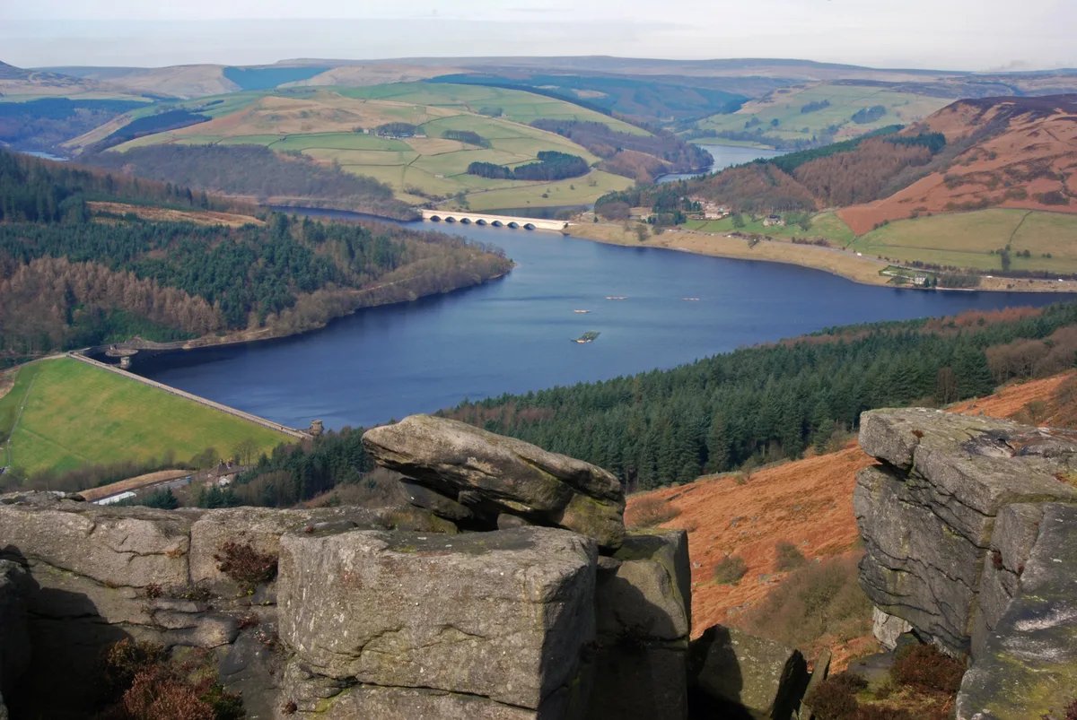
Ladybower Reservoir
Ladybower Reservoir — reservoir in Derbyshire, England.
 📷 3
📷 3Reservoirs & lochs · East Midlands
Agden Reservoir
Agden Reservoir — reservoir in South Yorkshire, England, UK.
 📷 5
📷 5Reservoirs & lochs · East Midlands
Arnfield Reservoir
Arnfield Reservoir — reservoir in Derbyshire, England, UK.
 📷 3
📷 3Reservoirs & lochs · East Midlands
Blackbrook Reservoir
Blackbrook Reservoir — reservoir and Site of Special Scientific Interest in Leicestershire, United Kingdom.
Frequently asked questions
- Where is Toddbrook Reservoir?
- Toddbrook Reservoir is in Derbyshire, the East Midlands, United Kingdom (postcode SK23 7EF), in the parish of Whaley Bridge.
- Is Toddbrook Reservoir a listed building?
- Toddbrook Reservoir is officially recognised as Site of Special Scientific Interest listed.
- Is Toddbrook Reservoir a protected site?
- Yes — Toddbrook Reservoir is part of the Toddbrook Reservoir SSSI Site of Special Scientific Interest.
- How do I get to Toddbrook Reservoir?
- The nearest railway station is Whaley Bridge, about 0.8 km away. Drivers can navigate to postcode SK23 7EF.