Mountains & hills · North West England
Blea Rigg (Wainwright)
Blea Rigg (Wainwright) — Named summit at 541.5 m.

Wikimedia Commons contributors — see linked file page for photographer and licence licence
Plan your visit
- Typical visit
- 3 h–8 h
- Best time of year
- Late spring – early autumn (May–Oct)
- Free entry
- Dog-friendly
About
Blea Rigg (Wainwright) is a named summit in the United Kingdom. Wikidata describes it as: "Named summit at 541.5 m.". Coordinates: 54.4611°, -3.0788°.
Photo gallery
Protected designations
- Site of Special Scientific Interest: Langdale Pikes SSSI
Designations sourced from Natural England open data under OGL v3.
From the Wikipedia article
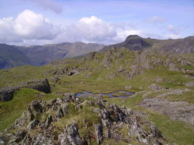
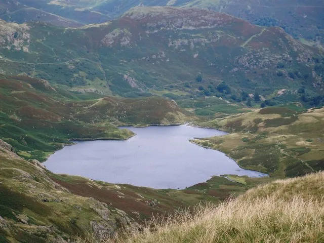
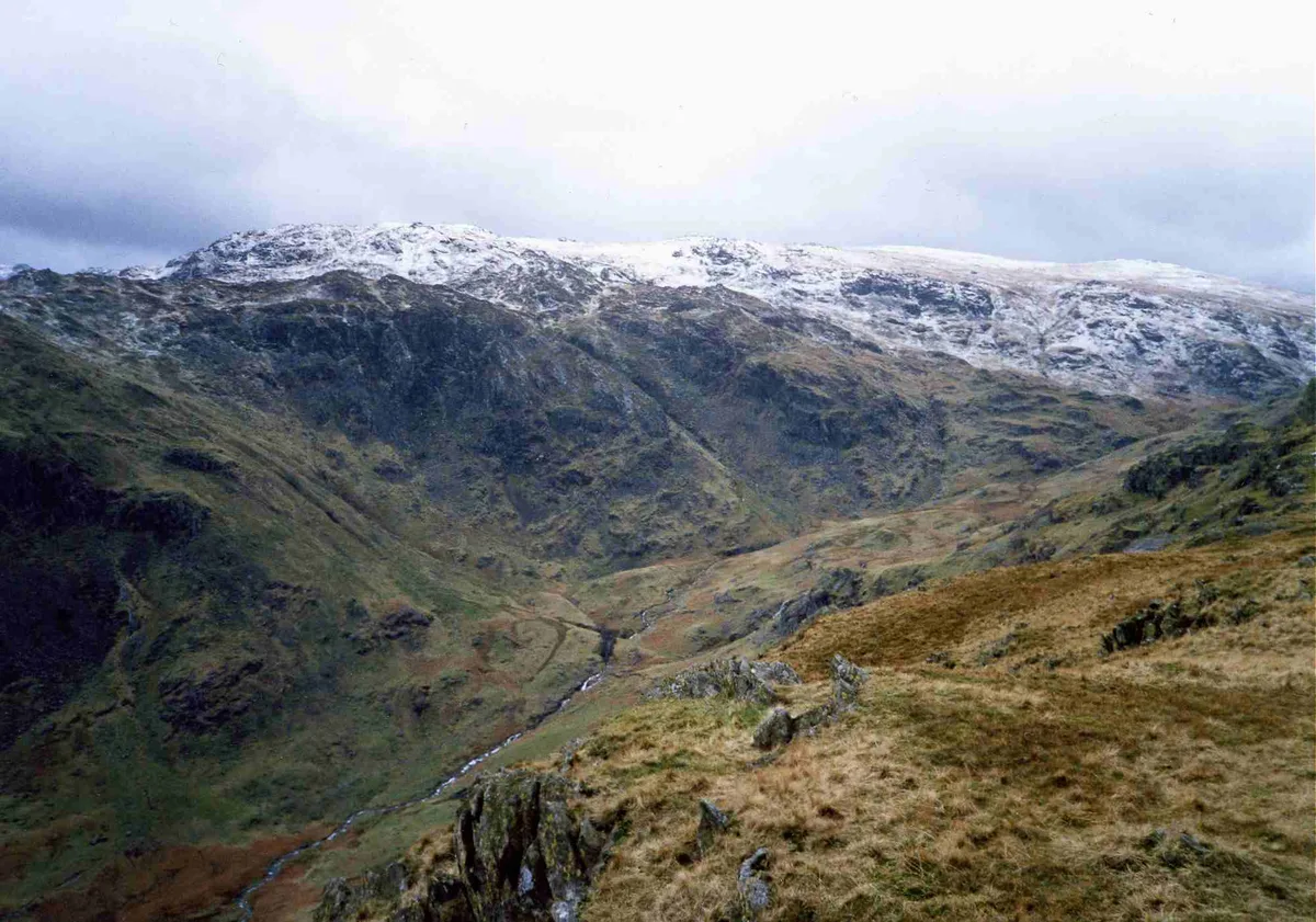
Blea Rigg is a fell in the English Lake District, lying between the valleys of Easedale and Great Langdale. One of the Central Fells, it is a broad plateau with a succession of rocky tops. Many routes of ascent are possible, beginning either from Grasmere or Great Langdale, though the paths are often poorly marked and difficult to follow.
Excerpt from Wikipedia under CC BY-SA 4.0. See the source article linked in Sources below.
- Coordinates
- 54.4611, -3.0788
- District
- Westmorland and Furness
- Parish
- Lakes
- Postcode
- LA22 9JS
- Parliamentary constituency
- Westmorland and Lonsdale
Sources
- osm: n29766667 (ODbL)
- wikipedia: Blea Rigg (CC BY-SA 4.0)
- commons: Summit Cairn, Blea Rigg....... Gone - geograph.org.uk - 445116.jpg (CC BY-SA 4.0)
Other places nearby
Loading nearby places…
Nearby
 📷 5
📷 5Natural landmarks · North West England
Blea Rigg
Blea Rigg — mountain in the United Kingdom.
 ★ Iconic📷 5
National parks · North West England
Lake District National Park
England's largest national park — mountains, lakes, Wordsworth country, UNESCO.
Caravan parks · North West England
Greenhowe Caravan Park
Greenhowe Caravan Park — a caravan park in england north west.
 📷 3
📷 3Natural landmarks · North West England
Easedale Tarn
Easedale Tarn — lake in the United Kingdom.
 📷 3
📷 3Natural landmarks · North West England
Tarn Crag (Easedale)
Tarn Crag (Easedale) — mountain in Cumbria, United Kingdom.
 📷 3
📷 3Mountains & hills · North West England
Tarn Crag (Wainwright)
Tarn Crag (Wainwright) — Named summit at 549 m.
More mountains in this region
 📷 3
📷 3Mountains & hills · North West England
Allen Crags
Allen Crags — Named summit at 785 m.
 📷 3
📷 3Mountains & hills · North West England
Alum Pot
Alum Pot — Open shaft pothole in North Yorkshire.
 📷 3
📷 3Mountains & hills · North West England
Arnside Knott
Arnside Knott — Named summit at 159 m.
 📷 3
📷 3Mountains & hills · North West England
Aye Gill Pike
Aye Gill Pike — Named summit at 556.3 m.
Frequently asked questions
- Where is Blea Rigg (Wainwright)?
- Blea Rigg (Wainwright) is in North-West England, United Kingdom (postcode LA22 9JS), in the parish of Lakes.
- Is Blea Rigg (Wainwright) a protected site?
- Yes — Blea Rigg (Wainwright) is part of the Langdale Pikes SSSI Site of Special Scientific Interest.
- Is Blea Rigg (Wainwright) free to visit?
- Yes, Blea Rigg (Wainwright) is free to enter.
- How do I get to Blea Rigg (Wainwright)?
- Drivers can navigate to postcode LA22 9JS. It sits within the Westmorland and Lonsdale parliamentary constituency.