Hill forts · South East England
Battlesbury Camp
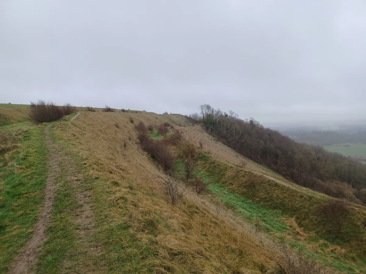
Battlesbury Camp — site of an Iron Age bivallate hillfort on Battlesbury Hill in Wiltshire, England, UK.

Wikimedia Commons contributors — see linked file page for photographer and licence licence
Plan your visit
- Typical visit
- 1 h–2 h
- Nearest railway station
- Warminster · 2.1 km
- Free entry
- Dog-friendly
About
Battlesbury Camp is a hill fort in the United Kingdom. Heritage designation: scheduled monument. Wikidata describes it as: "site of an Iron Age bivallate hillfort on Battlesbury Hill in Wiltshire, England, UK". Coordinates: 51.2100°, -2.1466°.
Photo gallery
Protected designations
- Site of Special Scientific Interest: River Avon System SSSI
- Site of Special Scientific Interest: Salisbury Plain SSSI
- Area of Outstanding Natural Beauty: Cranborne Chase & West Wiltshire Downs
Designations sourced from Natural England open data under OGL v3.
From the Wikipedia article
Battlesbury Camp is the site of an Iron Age bivallate hill fort on Battlesbury Hill near the town of Warminster in Wiltshire, South West England. Excavations and surveys at the site have uncovered various finds and archaeological evidence.
Excerpt from Wikipedia under CC BY-SA 4.0. See the source article linked in Sources below.
Background
History
Hill forts developed in the Late Bronze and Early Iron Age, roughly the start of the first millennium BC. The reason for their emergence in Britain, and their purpose, has been a subject of debate. It has been argued that they could have been military sites constructed in response to invasion from continental Europe, sites built by invaders, or a military reaction to social tensions caused by an increasing population and consequent pressure on agriculture. The dominant view since the 1960s has been that the increasing use of iron led to social changes in Britain. Deposits of iron ore were located in different places to the tin and copper ore necessary to make bronze, and as a result trading…
Description
Battlesbury occupies the summit of an irregular point of down, with its defences following the natural contours of the hill; by nature of the site it is almost inaccessible on the west and northeast sides. It has triple ditches and ramparts for the most part, doubled on the southeast side. The site encloses 23.5 acres in all. There are entrances at the northeast and northwest corners. Pits found within the fortifications contained late Iron Age pottery, the hub of a chariot wheel, an iron carpenter's saw, a latch-lifter for a hut door, querns, whetstones, sling stones, and animal bones. These all indicate a permanent occupation and date from the 1st century BC. A group of graves containing…
Sourced from Wikipedia under CC BY-SA 4.0.
- Coordinates
- 51.2100, -2.1466
- District
- Wiltshire
- Parish
- Warminster
- Postcode
- BA12 0DL
- Parliamentary constituency
- South West Wiltshire
- Nearest railway station
- Warminster — 2.1 km
Sources
- wikidata: Q4873218 (CC0)
- wikipedia: Battlesbury Camp (CC BY-SA 4.0)
- commons: Battlesbury Camp 25.jpg (CC BY-SA 4.0)
Other places nearby
Loading nearby places…
Nearby
 📷 5
📷 5Hill forts · South East England
Battlesbury Camp hill fort
Battlesbury Camp hill fort — a hill fort in england-south-east, United Kingdom.
 📷 5
📷 5Archaeological sites · South East England
Battlesbury Camp Monuments: hillfort, settlement, cemetery, barrows, enclosure, and field systems
Battlesbury Camp Monuments: hillfort, settlement, cemetery, barrows, enclosure, and field systems — archaeological site in Warminster, Wiltshire, England, UK.
 📷 4
📷 4Archaeological sites · South East England
Strip lynchets south of Bigbury Wood
Strip lynchets south of Bigbury Wood — archaeological site in Warminster, Wiltshire, England, UK.
 📷 5
📷 5Archaeological sites · South East England
Middlehill settlement and associated cultivation earthworks.
Middlehill settlement and associated cultivation earthworks. — archaeological site in Norton Bavant, Wiltshire, England, UK.
Hotels · South East England
The Bishopstrow Hotel & Spa
The Bishopstrow Hotel & Spa — a hotel in england south east.
 📷 5
📷 5Historic bridges · South East England
Bridge Over River In Grounds Of Bishopstrow House, South Of A36
Bridge Over River In Grounds Of Bishopstrow House, South Of A36 — Grade II listed building-listed bridge in england-south-east, United Kingdom.
More places in this region
 Flagship📷 10
Hill forts · South East England
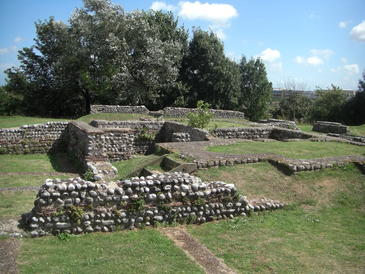
Castrum Anderitum
Castrum Anderitum — 3rd century Roman fort in the province of Britannia.
 Flagship📷 10
Hill forts · South East England
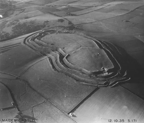
Maiden Castle
Maiden Castle — Iron Age hill fort in Dorset, England, UK.
 Flagship📷 10
Hill forts · South East England
Portus Adurni
Portus Adurni is a hill fort in the United Kingdom.
 Flagship📷 10
Hill forts · South East England
Richborough Roman Fort
Richborough Roman Fort — Roman fort at Richborough, Ash, United Kingdom.
Frequently asked questions
- Where is Battlesbury Camp?
- Battlesbury Camp is in South-East England, United Kingdom (postcode BA12 0DL), in the parish of Warminster.
- Is Battlesbury Camp a listed building?
- Battlesbury Camp is officially recognised as scheduled monument listed.
- Is Battlesbury Camp a protected site?
- Yes — Battlesbury Camp is part of the River Avon System SSSI Site of Special Scientific Interest and the Salisbury Plain SSSI Site of Special Scientific Interest.
- Is Battlesbury Camp free to visit?
- Yes, Battlesbury Camp is free to enter.
- How do I get to Battlesbury Camp?
- The nearest railway station is Warminster, about 2.1 km away. Drivers can navigate to postcode BA12 0DL.