Towns & cities · Yorkshire & the Humber
Barmby Moor
Barmby Moor — village in East Riding of Yorkshire, England, UK.

Wikimedia Commons contributors — see linked file page for photographer and licence licence
Plan your visit
- Typical visit
- 3 h–6 h
- Free entry
- Family-friendly
- Dog-friendly
About
Barmby Moor is a town, city, village or settlement in the United Kingdom. Recent population estimates put it at around 1,065 people. Address: YO42. Wikidata describes it as: "village in East Riding of Yorkshire, England, UK". Coordinates: 53.9305°, -0.8180°.
Photo gallery
Protected designations
- Site of Special Scientific Interest: River Derwent SSSI
- National Nature Reserve: LOWER DERWENT VALLEY
Designations sourced from Natural England open data under OGL v3.
From the Wikipedia article
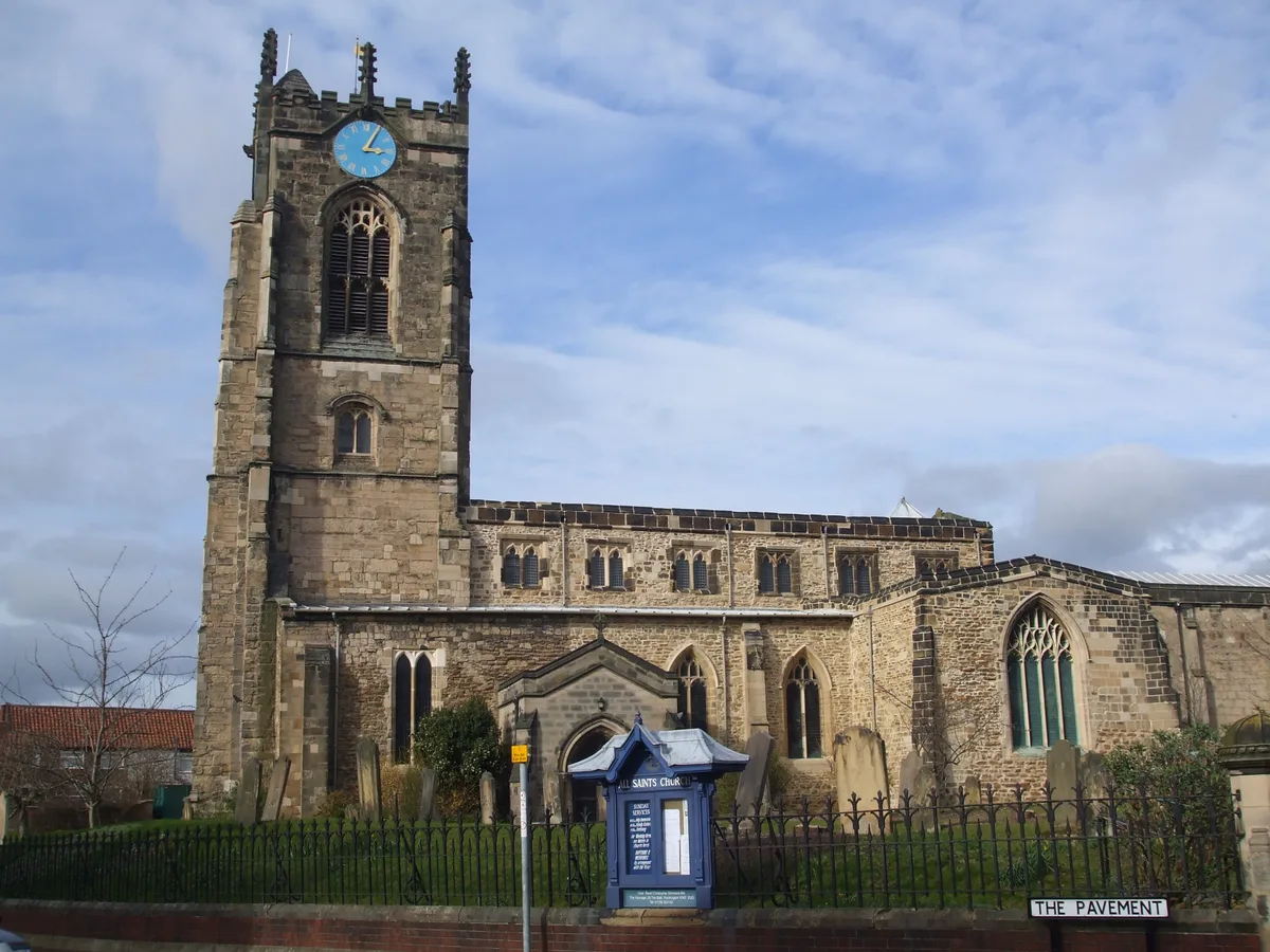
Barmby Moor is a village and civil parish in the East Riding of Yorkshire, England. It is situated approximately 1.5 miles (2.4 km) west of the market town of Pocklington and 12.5 miles (20 km) east-southeast of the city of York. It lies north of the A1079 road where it is met by the B1246 road that passes through the village. According to the 2011 UK census, Barmby Moor parish had a population of 1,114, an increase on the 2001 UK census figure of 1,065. The name Barmby derives from the Old Norse bjarnibȳ or barnebȳ meaning 'Bjarni's' or 'Barne's village'. Perhaps, it could also derive from barnbȳ meaning 'child's village'. The village was originally a market town with a coaching inn. It has a church, dedicated to St Catherine, chapel, village hall and a primary school. There is also a post office and a pub, The Boot & Slipper. The church and the Manor House were designated as Grade II* listed buildings in 1967 and are now recorded in the National Heritage List for England, maintained by Historic England. Each July a traditional fete – the Barmby Feast – is held in the village.
Excerpt from Wikipedia under CC BY-SA 4.0. See the source article linked in Sources below.
- Coordinates
- 53.9305, -0.8180
- District
- East Riding of Yorkshire
- Parish
- Barmby Moor
- Postcode
- YO42
- Parliamentary constituency
- Goole and Pocklington
- Population
- 1,065
Sources
- wikidata: Q669746 (CC0)
- wikipedia: Barmby Moor (CC BY-SA 4.0)
- commons: Barmby Moor, East Riding, St Catherine's Church.jpg (CC BY-SA 4.0)
Other places nearby
Loading nearby places…
Nearby
Campsites · Yorkshire & the Humber
Yapham Holds Farmhouse
Yapham Holds Farmhouse — a campsite in england yorkshire.
 📷 3
📷 3Windmills · Yorkshire & the Humber
Yapham Mill
Yapham Mill is a windmill in the United Kingdom.
 📷 3
📷 3Forests & woodlands · Yorkshire & the Humber
Allerthorpe Common
Allerthorpe Common is a forest or woodland in the United Kingdom.
 📷 5
📷 5Historic churches · Yorkshire & the Humber
Church of All Saints, Pocklington
Church of All Saints, Pocklington — church in Pocklington, East Riding of Yorkshire, England, UK.
 📷 3
📷 3Galleries · Yorkshire & the Humber
The Acorn Gallery
The Acorn Gallery — a gallery in england-yorkshire, United Kingdom.
 📷 5
📷 5Cemeteries · Yorkshire & the Humber
Pocklington Cemetery
Pocklington Cemetery is a cemetery in the United Kingdom.
More towns in this region
 Flagship📷 4
Towns & cities · Yorkshire & the Humber
Bradford
Bradford — city and largest settlement in the City of Bradford district, Yorkshire, England.
 Flagship📷 5
Towns & cities · Yorkshire & the Humber
Coxwold
Coxwold — village and civil parish in North Yorkshire, England.
 Flagship📷 5
Towns & cities · Yorkshire & the Humber
Great Ayton
Great Ayton — village in North Yorkshire, England, UK.
May2005.jpg?width=1200) Flagship📷 5
Flagship📷 5Towns & cities · Yorkshire & the Humber
Great Langton
Great Langton — village in North Yorkshire, England, UK.
Frequently asked questions
- Where is Barmby Moor?
- Barmby Moor is in Yorkshire, United Kingdom (postcode YO42), in the parish of Barmby Moor.
- Is Barmby Moor a protected site?
- Yes — Barmby Moor is part of the River Derwent SSSI Site of Special Scientific Interest and the LOWER DERWENT VALLEY National Nature Reserve.
- Is Barmby Moor free to visit?
- Yes, Barmby Moor is free to enter.
- How do I get to Barmby Moor?
- Drivers can navigate to postcode YO42. It sits within the Goole and Pocklington parliamentary constituency.