
Natural landmarks · Northern Ireland
Ballyhornan Picnic Site
In or near Ardglass.
Ballyhornan Picnic Site — a other in northern-ireland, United Kingdom.

Eric Jones — CC BY-SA 2.0 via Wikimedia Commons licence

Plan your visit
- Typical visit
- 1 h–2 h
- Free entry
- Dog-friendly
About
Ballyhornan Picnic Site is a other located in northern-ireland, United Kingdom. Sourced from OpenStreetMap (ODbL licence); see local listings for visitor information, opening hours and admission details.
Photo gallery
Place summary
Ballyhornan Picnic Site is located in Northern Ireland, BT30. It provides a space for outdoor recreation, suitable for picnics and relaxation in a natural setting. The site is characterised by its scenic views and accessibility for visitors.
AI-generated from the structured facts on this page (operator, designation, listing, era). Not a substitute for visiting.
- Coordinates
- 54.3016, -5.5544
- District
- Newry, Mourne and Down
- Postcode
- BT30 7PQ
- Parliamentary constituency
- Strangford
Sources
- osm: way/1263761512 (ODbL)
Other places nearby

Ballyhornan
Natural landmarks · 0.3 km

Ballyhornan Bay
Natural landmarks · 0.3 km

Gilpin Harbour
Beaches · 1.1 km

RAF Bishopscourt
Natural landmarks · 1.4 km

Mill Quarter Beach
Beaches · 2.2 km

Dunsfort
Natural landmarks · 2.3 km

Michael Laverty (1904-1992)
Memorials & monuments · 2.4 km

Chapeltown
Villages · 2.8 km
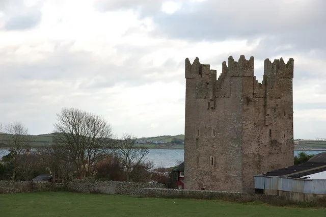
Kilclief Castle
Castles · 2.9 km

Kilclief
Natural landmarks · 3.4 km

Lecale Coast AONB
National landscapes (AONB) · 3.5 km
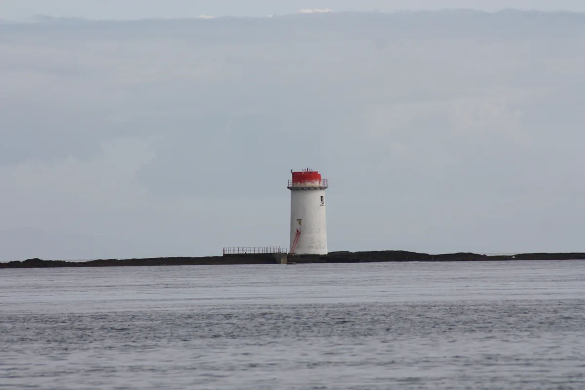
Angus Rock Lighthouse
Lighthouses · 3.8 km
Nearby
📷 5Natural landmarks · Northern Ireland
Ballyhornan
Ballyhornan in Northern Ireland, United Kingdom.
📷 5Natural landmarks · Northern Ireland
Ballyhornan Bay
Ballyhornan Bay — a natural feature in northern ireland.
📷 5📷 3Natural landmarks · Northern Ireland
RAF Bishopscourt
RAF Bishopscourt in Northern Ireland, United Kingdom.
📷 3Beaches · Northern Ireland
Mill Quarter Beach
Mill Quarter Beach is a beach in the United Kingdom.
📷 3Where to eat & stay near Ballyhornan Picnic Site
Places to stay
 📷 5
📷 5Caravan parks · Northern Ireland
Strangford Holiday Park
Strangford Holiday Park — a caravan park in northern ireland.
 📷 5
📷 5Campsites · Northern Ireland
Castle Ward Caravan Park
Castle Ward Caravan Park — a campsite in northern ireland.
 📷 4
📷 4Caravan parks · Northern Ireland
Quoile Yacht Club Caravan Park
Quoile Yacht Club Caravan Park — a caravan park in northern ireland.
 📷 5
📷 5Campsites · Northern Ireland
Delamont Country Park
Delamont Country Park — a campsite in northern ireland.
 📷 5
📷 5Campsites · Northern Ireland
EDYC Caravan and Camping Area
EDYC Caravan and Camping Area — a campsite in northern ireland.
 📷 3
📷 3Campsites · Northern Ireland
The Lodge at Quarterland Bay Camp Site
The Lodge at Quarterland Bay Camp Site — a campsite in northern ireland.
Places to eat & drink
 📷 3
📷 3Historic pubs · Northern Ireland
Soma Festival
The Soma Festival (Sanskrit: सोम, or sóma, meaning drink of the Gods, see Soma (drink); Irish: Féile Soma) is an annual music, arts, and cultural festival. The festival includes concerts, musical perf
More natural landmarks in this region
 Flagship📷 4
Natural landmarks · Northern Ireland
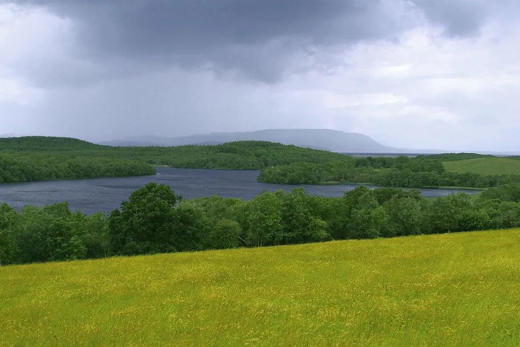
Lough Erne
Lough Erne — lake in County Fermanagh, Northern Ireland, UK.
 Flagship📷 4
Natural landmarks · Northern Ireland
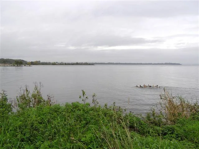
Lough Neagh
Lough Neagh — large lake in Northern Ireland.
 📷 3
📷 3Natural landmarks · Northern Ireland
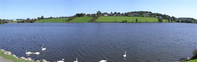
Ballysaggart Lough
Ballysaggart Lough — lake in the United Kingdom.
 📷 5
📷 5Natural landmarks · Northern Ireland
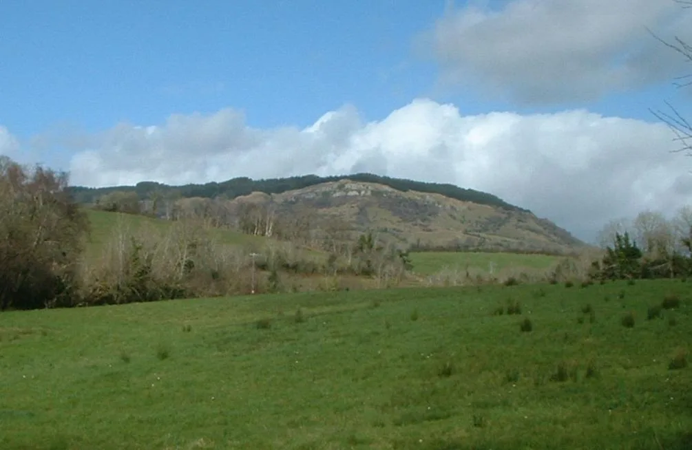
Belmore Mountain
Belmore Mountain — mountain in the United Kingdom.
Frequently asked questions
- Where is Ballyhornan Picnic Site?
- Ballyhornan Picnic Site is in Northern Ireland, United Kingdom (postcode BT30 7PQ).
- What is Ballyhornan Picnic Site?
- Ballyhornan Picnic Site — a other in northern-ireland, United Kingdom.
- How do I get to Ballyhornan Picnic Site?
- The nearest town is Ardglass. Drivers can use postcode BT30 7PQ.
- Is Ballyhornan Picnic Site free to visit?
- Yes, Ballyhornan Picnic Site is free to enter.
- How do I get to Ballyhornan Picnic Site?
- Drivers can navigate to postcode BT30 7PQ. It sits within the Strangford parliamentary constituency.