Natural landmarks · Northern Ireland
Ballyhanedin
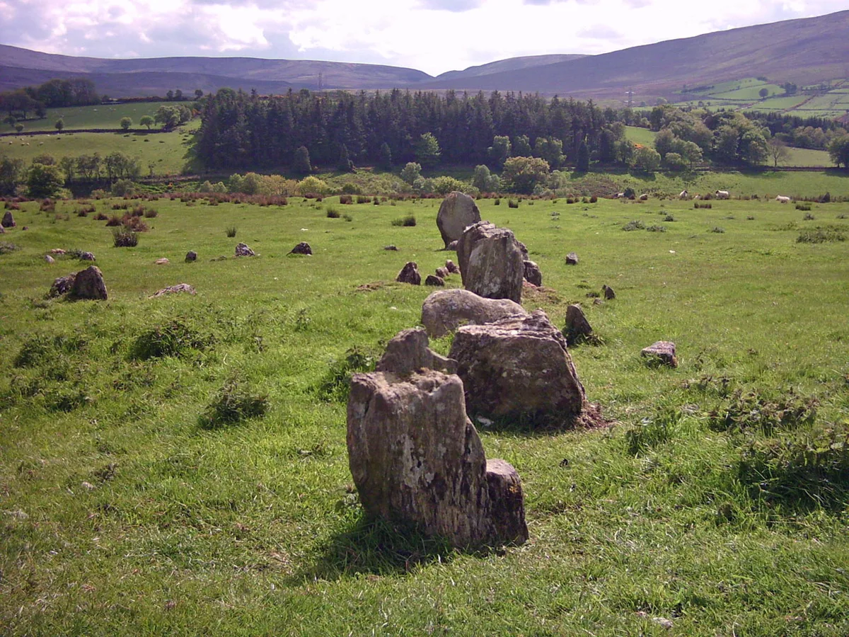
Ballyhanedin in Northern Ireland, United Kingdom.

Kenneth Allen — CC BY-SA 2.0 via Wikimedia Commons licence
Plan your visit
- Typical visit
- 1 h–2 h
- Free entry
- Dog-friendly
About
Ballyhanedin is a place of interest in Northern Ireland, United Kingdom — drawn from open-data sources for visitor reference. See the linked Wikipedia article for the full description.
Photo gallery
From the Wikipedia article
Ballyhanedin is a townland in the civil parish of Banagher in County Londonderry, Northern Ireland. It is located a 3km from the village of Feeny, and is situated within Causeway Coast and Glens district. It lies on the A6 Belfast to Derry road. Although it is only a townland, Ballyhanedin has a boundary sign which shows where it begins.
Excerpt from Wikipedia under CC BY-SA 4.0. See the source article linked in Sources below.
Background
History
The townland was settled in the seventeenth century by the Worshipful Company of Fishmongers of the City of London. A report in the Company's archives reports a deputation which surveyed its Estates in 1820: The Court of the Fishmongers' Company decided to build two new Presbyterian Church meeting houses in the Classical Greek style, with dressings of Dungiven sandstone. The Court voted £2,200 for the building at Banagher, which was constructed over three years and opened in 1834.
Visiting
Much of the townland is rural. Photographs of this area some miles out of Feeny are online at geograph.org.uk and include a windswept hill to the north of the junction of Ballyhanedin Road and Glenshane Road. Some of the fields have substantial drum-shaped stone gateposts, which are common in Northern Ireland. As part of the Munreery Climbing Lane road scheme, completed in 2005 to improve the A6 Glenshane Road west of Dungiven, the former 'Bennett junction' at the Ballyhanedin crossroads, which dated from the 1960s, was replaced by a 'ghost island' layout.
Sourced from Wikipedia under CC BY-SA 4.0.
- Coordinates
- 54.9042, -7.0500
- District
- Derry City and Strabane
- Postcode
- BT47 4TQ
- Parliamentary constituency
- East Londonderry
Sources
- wikidata: Q4852162 (CC0)
- wikipedia: Ballyhanedin (CC BY-SA 4.0)
Other places nearby
Loading nearby places…
Nearby
 📷 3
📷 3Hill forts · Northern Ireland
Aughlish
Aughlish — archaeological site in County Londonderry, Northern Ireland, England, UK.
 📷 4
📷 4Natural landmarks · Northern Ireland
Banagher
Banagher in Northern Ireland, United Kingdom.
 📷 5
📷 5Archaeological sites · Northern Ireland
Lisard Rath
Lisard Rath — a archaeological in northern-ireland, United Kingdom.
 📷 3
📷 3Towns & cities · Northern Ireland
Feeny
Feeny — village in County Londonderry, Northern Ireland, UK.
 📷 3
📷 3Natural landmarks · Northern Ireland
Banagher GAC
Banagher GAC in Northern Ireland, United Kingdom.
 📷 3
📷 3Towns & cities · Northern Ireland
Straidarran
Straidarran — village in County Londonderry, Northern Ireland, UK.
More natural landmarks in this region
 Flagship📷 4
Natural landmarks · Northern Ireland
Lough Erne
Lough Erne — lake in County Fermanagh, Northern Ireland, UK.
 Flagship📷 4
Natural landmarks · Northern Ireland
Lough Neagh
Lough Neagh — large lake in Northern Ireland.
 📷 3
📷 3Natural landmarks · Northern Ireland
Ballysaggart Lough
Ballysaggart Lough — lake in the United Kingdom.
 📷 5
📷 5Natural landmarks · Northern Ireland
Belmore Mountain
Belmore Mountain — mountain in the United Kingdom.
Frequently asked questions
- Where is Ballyhanedin?
- Ballyhanedin is in Northern Ireland, United Kingdom (postcode BT47 4TQ).
- Is Ballyhanedin free to visit?
- Yes, Ballyhanedin is free to enter.
- How do I get to Ballyhanedin?
- Drivers can navigate to postcode BT47 4TQ. It sits within the East Londonderry parliamentary constituency.