Mountains & hills · North East England
Angletarn Pikes
Angletarn Pikes — Named summit at 566 m.

Wikimedia Commons contributors — see linked file page for photographer and licence licence
Plan your visit
- Typical visit
- 3 h–8 h
- Best time of year
- Late spring – early autumn (May–Oct)
- Free entry
- Dog-friendly
About
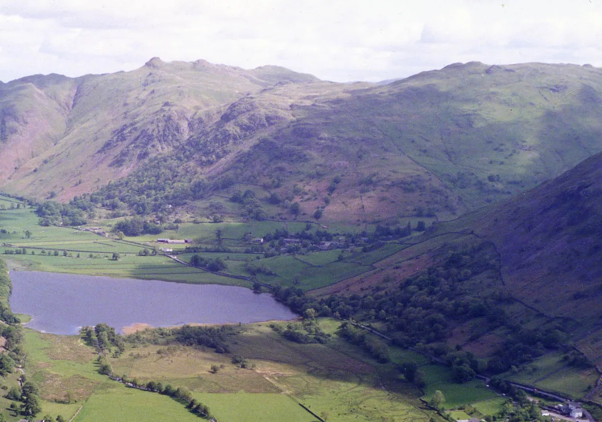
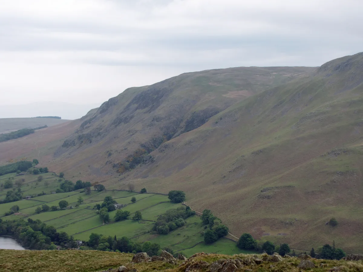
Angletarn Pikes is a named summit in the United Kingdom. Wikidata describes it as: "Named summit at 566 m.". Coordinates: 54.5253°, -2.9080°.
Photo gallery
Protected designations
- Site of Special Scientific Interest: River Eden and Tributaries SSSI
Designations sourced from Natural England open data under OGL v3.
From the Wikipedia article
Angletarn Pikes is a fell in the English Lake District near the village of Patterdale. Its most notable feature is Angle Tarn from which it derives its name.
Excerpt from Wikipedia under CC BY-SA 4.0. See the source article linked in Sources below.
- Coordinates
- 54.5253, -2.9080
- District
- Westmorland and Furness
- Parish
- Patterdale
- Postcode
- CA11 0NS
- Parliamentary constituency
- Westmorland and Lonsdale
Sources
- osm: n560114940 (ODbL)
- wikipedia: Angletarn Pikes (CC BY-SA 4.0)
- commons: Angletarn Pikes.jpg (CC BY-SA 4.0)
Other places nearby
Loading nearby places…
Nearby
 📷 3
📷 3Natural landmarks · North East England
Angletarn Pikes
Angletarn Pikes — mountain in United Kingdom.
 📷 3
📷 3Mountains & hills · North East England
Angletarn Pikes South Top
Angletarn Pikes South Top — Named summit at 563.6 m.
 📷 3
📷 3Viewpoints · North East England
Dubhow Copper Mine
Dubhow Copper Mine is a viewpoint in the United Kingdom.
 📷 5
📷 5Natural landmarks · North East England
Angle Tarn
Angle Tarn — lake near Patterdale, Cumbria, England, United Kingdom.
 📷 3
📷 3Mountains & hills · North East England
Brock Crags (Wainwright)
Brock Crags (Wainwright) — Named summit at 561.2 m.
 📷 3
📷 3Natural landmarks · North East England
Brock Crags
Brock Crags — mountain in United Kingdom.
More mountains in this region
📷 3Mountains & hills · North East England
Angletarn Pikes South Top
Angletarn Pikes South Top — Named summit at 563.6 m.
 📷 3
📷 3Mountains & hills · North East England
Ard Crags
Ard Crags — Named summit at 581 m.
 📷 3
📷 3Mountains & hills · North East England
Arnison Crag
Arnison Crag — Named summit at 433 m.
 📷 3
📷 3Mountains & hills · North East England
Arthur's Pike
Arthur's Pike — Named summit at 533 m.
Frequently asked questions
- Where is Angletarn Pikes?
- Angletarn Pikes is in North-East England, United Kingdom (postcode CA11 0NS), in the parish of Patterdale.
- Is Angletarn Pikes a protected site?
- Yes — Angletarn Pikes is part of the River Eden and Tributaries SSSI Site of Special Scientific Interest.
- Is Angletarn Pikes free to visit?
- Yes, Angletarn Pikes is free to enter.
- How do I get to Angletarn Pikes?
- Drivers can navigate to postcode CA11 0NS. It sits within the Westmorland and Lonsdale parliamentary constituency.