Towns & cities · Yorkshire & the Humber
Adel
Also known as: Adel, Leeds
Adel — village in Leeds, West Yorkshire.

Wikimedia Commons contributors — see linked file page for photographer and licence licence
Plan your visit
- Typical visit
- 3 h–6 h
- Nearest railway station
- Horsforth · 3.0 km
- Free entry
- Family-friendly
- Dog-friendly
About
Adel is a town, city, village or settlement in the United Kingdom. Recent population estimates put it at around 19,430 people. Wikidata describes it as: "village in Leeds, West Yorkshire". Coordinates: 53.8489°, -1.5849°.
Photo gallery
From the Wikipedia article
Adel ( ADD-əl) is a suburb of Leeds, West Yorkshire, England. To its immediate south is Weetwood, to the west are Cookridge and Holt Park, to the east are Alwoodley and Moortown, and to the north are Bramhope, Arthington and Eccup. It forms part of the Leeds City Council ward of Adel & Wharfedale and the parliamentary constituency of Leeds North West. In common with many areas of Leeds it is not easy to define the boundaries of Adel, but Adel Church and the two schools are well to the east of Otley Road, the A660, although the post office is on that road.
Excerpt from Wikipedia under CC BY-SA 4.0. See the source article linked in Sources below.
Background
History
Adel is situated near the site of a Roman fort, the ancient road from Tadcaster to Ilkley passing nearby. (The footpath by the side of Long Causeway was said to be made from the original Roman stones, until they were removed by the council in the 1960s because they were unsafe. Some of the footpath has been replaced, starting at the junction between Long Causeway and Stairfoot Lane, and continuing up to the entrance of Bedquilts playing fields.) Several inscribed stones from the Romano-British period were discovered in Adel, also a number of Anglo-Saxon stones were discovered in the church foundations during restoration work in 1864. Some of these items are on display in the Leeds City…
Sourced from Wikipedia under CC BY-SA 4.0.
- Coordinates
- 53.8489, -1.5849
- District
- Leeds
- Parish
- Leeds, unparished area
- Postcode
- LS16 8JZ
- Parliamentary constituency
- Leeds North West
- Population
- 19,430
- Nearest railway station
- Horsforth — 3 km
Sources
- wikidata: Q1227820 (CC0)
- wikipedia: Adel, Leeds (CC BY-SA 4.0)
- commons: Adel Church.jpg (CC BY-SA 4.0)
Other places nearby
Loading nearby places…
Nearby
 📷 4
📷 4Memorials & monuments · Yorkshire & the Humber
Isabella Ford
Isabella Ford — a memorial in england-yorkshire, United Kingdom.
 📷 3
📷 3Memorials & monuments · Yorkshire & the Humber
War Memorial in Lawnswood Cemetery
War Memorial in Lawnswood Cemetery — Grade II listed building-listed memorial in england-yorkshire, United Kingdom.
.jpg?width=1200) 📷 3
📷 3Cemeteries · Yorkshire & the Humber
Lawnswood Cemetery
Lawnswood Cemetery is a cemetery in the United Kingdom.
.jpg?width=1200) 📷 3
📷 3Gardens · Yorkshire & the Humber
York Gate Garden
York Gate Garden — garden in Adel, Leeds.
.jpg?width=1200) 📷 3
📷 3Historic bridges · Yorkshire & the Humber
Stairfoot Bridge
Stairfoot Bridge is a historic bridge in the United Kingdom.
 📷 3
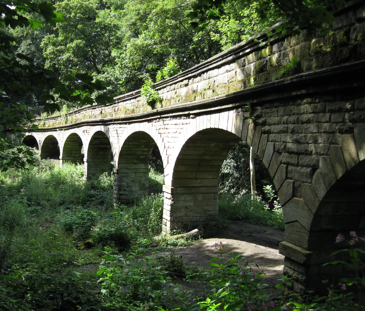
📷 3Aqueducts · Yorkshire & the Humber
Seven Arches Aqueduct
Seven Arches Aqueduct — aqueduct in Leeds, West Yorkshire, England, UK.
More towns in this region
 Flagship📷 4
Towns & cities · Yorkshire & the Humber
Bradford
Bradford — city and largest settlement in the City of Bradford district, Yorkshire, England.
 Flagship📷 5
Towns & cities · Yorkshire & the Humber
Coxwold
Coxwold — village and civil parish in North Yorkshire, England.
 Flagship📷 5
Towns & cities · Yorkshire & the Humber
Great Ayton
Great Ayton — village in North Yorkshire, England, UK.
May2005.jpg?width=1200) Flagship📷 5
Flagship📷 5Towns & cities · Yorkshire & the Humber
Great Langton
Great Langton — village in North Yorkshire, England, UK.
Frequently asked questions
- Where is Adel?
- Adel is in Yorkshire, United Kingdom (postcode LS16 8JZ), in the parish of Leeds, unparished area.
- Is Adel free to visit?
- Yes, Adel is free to enter.
- How do I get to Adel?
- The nearest railway station is Horsforth, about 3.0 km away. Drivers can navigate to postcode LS16 8JZ.