Mountains & hills · North Wales
Y Groes Fagl
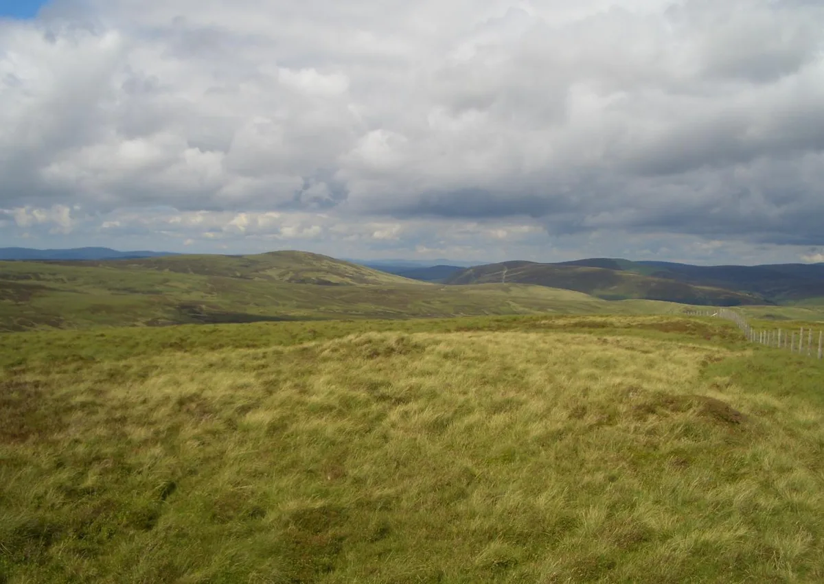
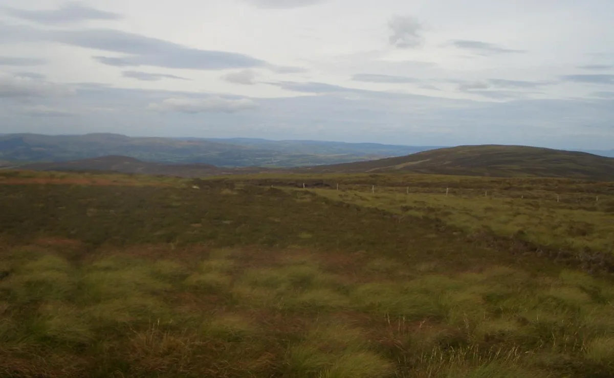
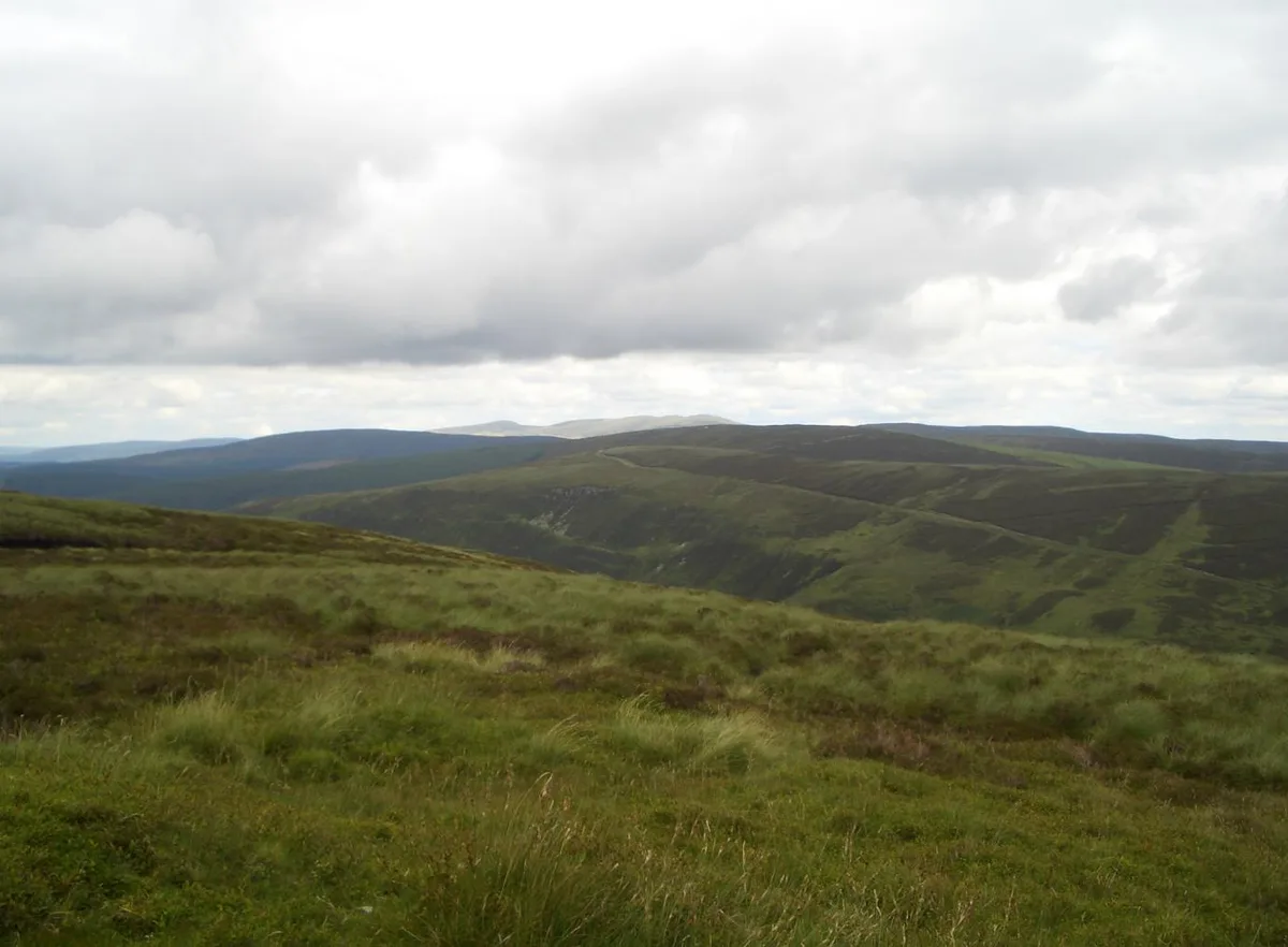
Y Groes Fagl — Named summit at 659 m.

Wikimedia Commons contributors — see linked file page for photographer and licence licence
Plan your visit
- Typical visit
- 3 h–8 h
- Best time of year
- Late spring – early autumn (May–Oct)
- Nearest railway station
- Bala (Penybont) · 8.4 km
- Free entry
- Dog-friendly
About
Y Groes Fagl is a named summit in the United Kingdom. Wikidata describes it as: "Named summit at 659 m.". Coordinates: 52.8490°, -3.5035°.
Photo gallery
From the Wikipedia article
Y Groes Fagl is a top of Cyrniau Nod in north east Wales. It forms a part of the Berwyn range known as the Hirnantau. Its summit has the Snowdonia National Park boundary located just to the east of it. The views from the summit are extensive, if unremarkable due to the featureless, flat moorland surroundings. The summit is marked by a post. To the north, the ridge continues to Foel Cwm Sian Llwyd.
Excerpt from Wikipedia under CC BY-SA 4.0. See the source article linked in Sources below.
- Coordinates
- 52.8490, -3.5035
- Address
- Gwynedd, Wales
- Nearest railway station
- Bala (Penybont) — 8.4 km
Sources
- osm: n3370636524 (ODbL)
- wikipedia: Y Groes Fagl (CC BY-SA 4.0)
- commons: Y Groes Fagl - geograph.org.uk - 406329.jpg (CC BY-SA 4.0)
Other places nearby
Loading nearby places…
Nearby
 📷 3
📷 3Mountains & hills · North Wales
Foel Cedig
Foel Cedig — a mountain in wales-north, United Kingdom, 667 m.
 📷 3
📷 3Mountains & hills · North Wales
Cefn Gwyntog North Top
Cefn Gwyntog North Top — a mountain in wales-north, United Kingdom, 601 m.
 📷 3
📷 3Mountains & hills · North Wales
Stac Rhos
Stac Rhos — Named summit at 630 m.
 📷 3
📷 3Natural landmarks · North Wales
Foel Cwm Sian Llŵyd
Foel Cwm Sian Llŵyd — mountain (648m) in Gwynedd.
 📷 3
📷 3Mountains & hills · North Wales
Foel Cwm-Sian Llwyd
Foel Cwm-Sian Llwyd — Named summit at 648 m.
 📷 3
📷 3Mountains & hills · North Wales
Pen Y Boncyn Trefeilw
Pen Y Boncyn Trefeilw — Named summit at 646 m.
More mountains in this region
 📷 5
📷 5Mountains & hills · North Wales
Cemlyn Bay and lagoon
Cemlyn Bay and lagoon — Site of Special Scientific Interest in Wales.
 📷 3
📷 3Mountains & hills · North Wales
Aberffraw Bay
Aberffraw Bay — bay on the west coast of Anglesey, in Wales, UK.
 📷 3
📷 3Mountains & hills · North Wales
Allt-fawr
Allt-fawr — Named summit at 698 m.
 📷 3
📷 3Mountains & hills · North Wales
Aran Benllyn
Aran Benllyn — Named summit at 884 m.
Frequently asked questions
- Where is Y Groes Fagl?
- Y Groes Fagl is in North Wales, in the United Kingdom — coordinates 52.8490°, -3.5035°. The nearest railway station is Bala (Penybont), around 8.4 km away.
- Is Y Groes Fagl free to visit?
- Yes — admission to Y Groes Fagl is free.