Towns & cities · South East England
Wroxall
Wroxall — village and civil parish in the central south of the Isle of Wight.

Wikimedia Commons contributors — see linked file page for photographer and licence licence
Plan your visit
- Typical visit
- 3 h–6 h
- Nearest railway station
- Shanklin · 3.6 km
- Free entry
- Family-friendly
- Dog-friendly
About
Wroxall is a town, city, village or settlement in the United Kingdom. Recent population estimates put it at around 1,709 people. Wikidata describes it as: "village and civil parish in the central south of the Isle of Wight". Coordinates: 50.6160°, -1.2228°.
Photo gallery
Protected designations
- Area of Outstanding Natural Beauty: Isle Of Wight
Designations sourced from Natural England open data under OGL v3.
From the Wikipedia article
Wroxall (also spelt Wroxhall) is a village and civil parish in the central south of the Isle of Wight, England. In 2021 the parish had a population of 1,709. It is close to Appuldurcombe House, and the parish church is St. John's Church. The village also has a primary school and a pub.
Excerpt from Wikipedia under CC BY-SA 4.0. See the source article linked in Sources below.
Background
History
Before a railway was constructed, a wagonette was the main method of transport. Afterwards, a stagecoach ran from Godshill to Freshwater, with a change of horses at Brighstone. Many of the houses on the village's main road were built for the workmen who were tunneling to Ventnor through the downs to construct the railway. There are 16 listed buildings in and around Wroxall.
Sourced from Wikipedia under CC BY-SA 4.0.
- Coordinates
- 50.6160, -1.2228
- District
- Isle of Wight
- Parish
- Wroxall
- Postcode
- PO38 3EB
- Parliamentary constituency
- Isle of Wight East
- Population
- 1,709
- Nearest railway station
- Shanklin — 3.6 km
Sources
- wikidata: Q2044679 (CC0)
- wikipedia: Wroxall, Isle of Wight (CC BY-SA 4.0)
- commons: St. John's Church, Wroxall.JPG (CC BY-SA 4.0)
Other places nearby
Loading nearby places…
Nearby
 📷 5
📷 5Memorials & monuments · South East England
Wroxall War Memorial
Wroxall War Memorial — Grade II listed building-listed memorial in england-south-east, United Kingdom.
 📷 5
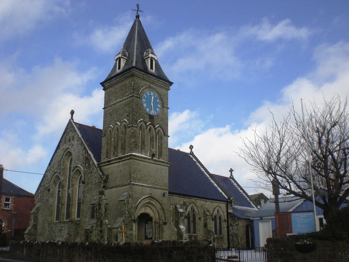
📷 5Historic churches · South East England
St. John's Church, Wroxall
St. John's Church, Wroxall — church in Wroxall, Isle of Wight, England, UK.
Campsites · South East England
Appuldurcombe Gardens Holiday Park
Appuldurcombe Gardens Holiday Park — a campsite in england south east.
 📷 5
📷 5Historic houses · South East England
Appuldurcombe House
Appuldurcombe House — a other in england-south-east, United Kingdom.
 📷 5
📷 5Memorials & monuments · South East England
Site of Cooks Castle
Site of Cooks Castle — a memorial in england-south-east, United Kingdom.
 📷 5
📷 5Zoos & aquariums · South East England
Isle of Wight Donkey Sanctuary
Isle of Wight Donkey Sanctuary — a zoo aquarium in england-south-east, United Kingdom.
More towns in this region
 Flagship📷 10
Towns & cities · South East England
Aldermaston
Aldermaston — village and civil parish in West Berkshire in England, UK.
 Flagship📷 10
Towns & cities · South East England
Aldingbourne
Aldingbourne — village and civil parish in Arun, West Sussex, UK.
 Flagship📷 10
Towns & cities · South East England
Aldington
Aldington — village and civil parish in the Ashford District of Kent, England.
 Flagship📷 10
Towns & cities · South East England
Aldworth
Aldworth — village and civil parish in the English county of Berkshire.
Frequently asked questions
- Where is Wroxall?
- Wroxall is in South-East England, United Kingdom (postcode PO38 3EB), in the parish of Wroxall.
- Is Wroxall a protected site?
- Yes — Wroxall is part of the Isle Of Wight National Landscape (AONB).
- Is Wroxall free to visit?
- Yes, Wroxall is free to enter.
- How do I get to Wroxall?
- The nearest railway station is Shanklin, about 3.6 km away. Drivers can navigate to postcode PO38 3EB.