Towns & cities · East of England
Wreningham
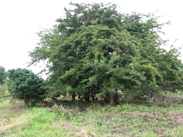
Wreningham — village in Norfolk, England, UK.

Wikimedia Commons contributors — see linked file page for photographer and licence licence
Plan your visit
- Typical visit
- 3 h–6 h
- Nearest railway station
- Wymondham · 5.6 km
- Free entry
- Family-friendly
- Dog-friendly
About
Wreningham is a town, city, village or settlement in the United Kingdom. It covers approximately 6 km². Recent population estimates put it at around 493 people. Address: NR16. Wikidata describes it as: "village in Norfolk, England, UK". Coordinates: 52.5438°, 1.1938°.
Photo gallery
From the Wikipedia article
Wreningham is a village and civil parish in the English county of Norfolk. It is situated some 3 miles (4.8 km) south east of Wymondham and 9 miles (14 km) south west of Norwich. The civil parish has an area of 6.24 square kilometres and in 2001 had a population of 493 in 199 households, the population increasing to 528 at the 2011 Census and to 582 at the 2021 Census. For the purposes of local government, the parish falls within the district of South Norfolk. From 1808 to 1814 Wreningham hosted a station in the shutter telegraph chain which connected the Admiralty in London to its naval ships in the port of Great Yarmouth. Superstitions Wreningham, allegedly, got its name from the Witch and the Wren myth. The myth tells the story of a witch living in Wreningham who was discovered by the villagers. A knight then came to kill her and upon being attacked she transformed herself into a wren to escape safely; in response the villagers beat the bushes with sticks and caught and burnt any wrens that flew out in an attempt to kill her. She supposedly returns to the village every St Stephen's Day, and traditionally the villagers would beat the hedges and burn any wrens they caught on this day.
Excerpt from Wikipedia under CC BY-SA 4.0. See the source article linked in Sources below.
- Coordinates
- 52.5438, 1.1938
- County
- Norfolk
- District
- South Norfolk
- Parish
- Wreningham
- Postcode
- NR16
- Parliamentary constituency
- South Norfolk
- Population
- 493
- Nearest railway station
- Wymondham — 5.6 km
Sources
- wikidata: Q289011 (CC0)
- wikipedia: Wreningham (CC BY-SA 4.0)
- commons: All Saints, Wreningham, Norfolk - geograph.org.uk - 852763.jpg (CC BY-SA 4.0)
Other places nearby
Loading nearby places…
Nearby
 📷 3
📷 3Memorials & monuments · East of England
Wreningham War Memorial
Wreningham War Memorial — Grade II listed building-listed memorial in england-east, United Kingdom.
Campsites · East of England
Claggan
Claggan — a campsite in england east.
 📷 3
📷 3Public art & sculpture · East of England
Wreningham Village Sign
Wreningham Village Sign — a public art in england-east, United Kingdom.
 📷 5
📷 5Towns & cities · East of England
Hethel
Hethel — village in South Norfolk, England, United Kingdom.
 📷 5
📷 5Wildlife reserves · East of England
Hethel Old Thorn
Hethel Old Thorn — nature reserve in Norfolk, England, UK.
 📷 3
📷 3Memorials & monuments · East of England
Bracon Ash and Hethel War Memorial
Bracon Ash and Hethel War Memorial — Grade II listed building-listed memorial in england-east, United Kingdom.
More towns in this region
 Flagship📷 3
Towns & cities · East of England
Alburgh
Alburgh — village and civil parish in Norfolk, UK.
 Flagship📷 3
Towns & cities · East of England
Aldeby
Aldeby — village and civil parish in Norfolk, UK.
 Flagship📷 5
Towns & cities · East of England
Ashill
Ashill — village and civil parish in the English county of Norfolk.
 Flagship📷 3
Towns & cities · East of England
Aslacton
Aslacton — village and civil parish in Norfolk, UK.
Frequently asked questions
- Where is Wreningham?
- Wreningham is in Norfolk, East of England, United Kingdom (postcode NR16), in the parish of Wreningham.
- Is Wreningham free to visit?
- Yes, Wreningham is free to enter.
- How do I get to Wreningham?
- The nearest railway station is Wymondham, about 5.6 km away. Drivers can navigate to postcode NR16.