Forests & woodlands · West Midlands
Woodsides Meadow
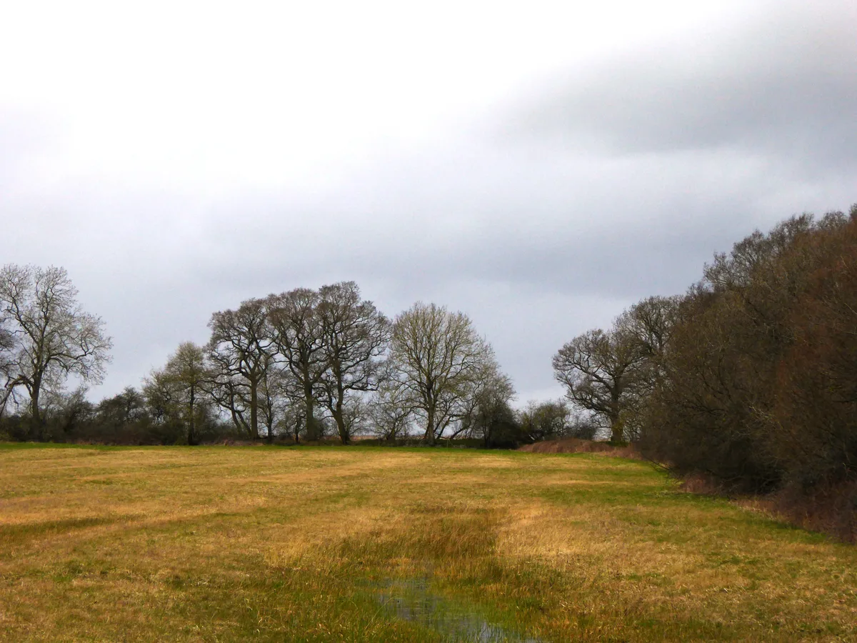
Woodsides Meadow is a forest or woodland in the United Kingdom.
.jpg?width=1200)
Wikimedia Commons contributors — see linked file page for photographer and licence licence
.jpg)
Plan your visit
- Typical visit
- 1 h–3 h
- Nearest railway station
- Islip · 4.5 km
- Free entry
- Family-friendly
- Dog-friendly
About
Woodsides Meadow is a named forest, woodland or nature reserve in the United Kingdom. Coordinates: 51.8562°, -1.1945°. This entry is part of The Great Britain Guide, a free, ad-free, open-data tourist directory.
Photo gallery
Protected designations
- Site of Special Scientific Interest: Wendlebury Meads and Mansmoor Closes SSSI
Designations sourced from Natural England open data under OGL v3.
From the Wikipedia article
Woodsides Meadow is a 4-hectare (9.9-acre) nature reserve south of Wendlebury in Oxfordshire. It is managed by the Berkshire, Buckinghamshire and Oxfordshire Wildlife Trust. It is part of Wendlebury Meads and Mansmoor Closes, which is a Site of Special Scientific Interest. This meadow still has medieval ridge and furrow marks, showing that it has not been farmed by modern methods. More than 100 species of wild flower have been recorded, such as pepper-saxifrage, sneezewort, green-winged orchid, cuckooflower and ragged-robin. Skylarks and brown hares are often seen on the site.
Excerpt from Wikipedia under CC BY-SA 4.0. See the source article linked in Sources below.
- Coordinates
- 51.8562, -1.1945
- County
- Oxfordshire
- District
- Cherwell
- Parish
- Charlton-on-Otmoor
- Postcode
- OX5 2UR
- Parliamentary constituency
- Bicester and Woodstock
- Nearest railway station
- Islip — 4.5 km
- Official site
- www.bbowt.org.uk
Sources
- osm: w253130054 (ODbL)
- wikipedia: Woodsides Meadow (CC BY-SA 4.0)
- commons: Woodsides Meadow (2).jpg (CC BY-SA 4.0)
Other places nearby
Loading nearby places…
Nearby
 Flagship📷 3
Wildlife reserves · West Midlands
Woodsides Meadow
Woodsides Meadow is a wildlife reserve in the United Kingdom.
Caravan parks · West Midlands
Godwins Caravan And Camping Park
Godwins Caravan And Camping Park — a caravan park in england west midlands.
Hotels · West Midlands
Weston Manor Hotel
Weston Manor Hotel — a hotel in england west midlands.
 📷 3
📷 3Watermills · West Midlands
The Old Watermill
The Old Watermill — Grade II listed building-listed watermill in england-west-midlands, United Kingdom.
 📷 3
📷 3Archaeological sites · West Midlands
Merton Roman Camp
Merton Roman Camp — a archaeological in england-west-midlands, United Kingdom.
 📷 3
📷 3Archaeological sites · West Midlands
Alchester Fort Annex
Alchester Fort Annex — a archaeological in england-west-midlands, United Kingdom.
More forests in this region
 📷 3
📷 3Forests & woodlands · West Midlands
Abington Meadows Nature Reserve
Abington Meadows Nature Reserve is a forest or woodland in the United Kingdom.
_(geograph_2935627).jpg?width=1200) 📷 3
📷 3Forests & woodlands · West Midlands
Adderbury Lakes
Adderbury Lakes is a forest or woodland in the United Kingdom.
 📷 3
📷 3Forests & woodlands · West Midlands
Alcott Wood
Alcott Wood is a forest or woodland in the United Kingdom.
 📷 3
📷 3Forests & woodlands · West Midlands
Alvecote Meadows Nature Reserve
Alvecote Meadows Nature Reserve is a forest or woodland in the United Kingdom.
Frequently asked questions
- Where is Woodsides Meadow?
- Woodsides Meadow is in Oxfordshire, the West Midlands, United Kingdom (postcode OX5 2UR), in the parish of Charlton-on-Otmoor.
- Who owns Woodsides Meadow?
- Woodsides Meadow is owned by Berkshire, Buckinghamshire and Oxfordshire Wildlife Trust.
- Is Woodsides Meadow a protected site?
- Yes — Woodsides Meadow is part of the Wendlebury Meads and Mansmoor Closes SSSI Site of Special Scientific Interest.
- Is Woodsides Meadow free to visit?
- Yes, Woodsides Meadow is free to enter.
- How do I get to Woodsides Meadow?
- The nearest railway station is Islip, about 4.5 km away. Drivers can navigate to postcode OX5 2UR.