Natural landmarks · North West England
Windy Hill
Windy Hill — mountain in United Kingdom.

Wikimedia Commons contributors — see linked file page for photographer and licence licence
Plan your visit
- Typical visit
- 1 h–2 h
- Nearest railway station
- Littleborough · 4.1 km
- Free entry
- Dog-friendly
About
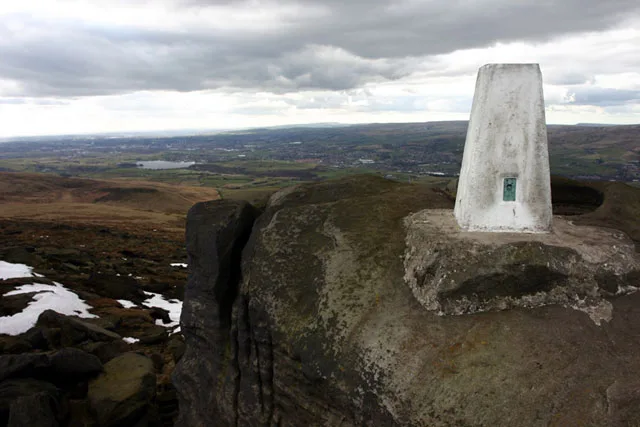
Windy Hill is a named natural landmark in the United Kingdom. Wikidata describes it as: "mountain in United Kingdom". Coordinates: 53.6234°, -2.0423°.
Photo gallery
Protected designations
- Site of Special Scientific Interest: South Pennine Moors SSSI
Designations sourced from Natural England open data under OGL v3.
From the Wikipedia article
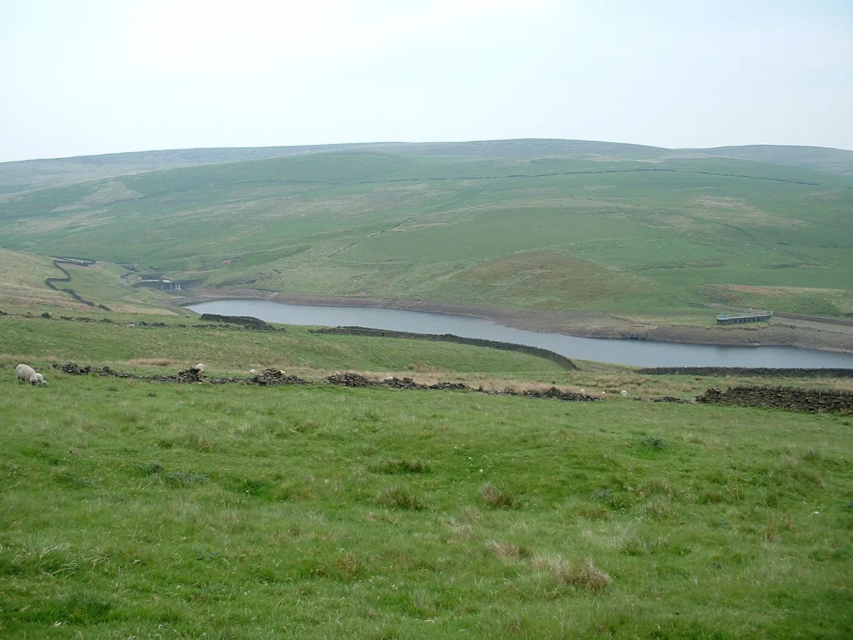
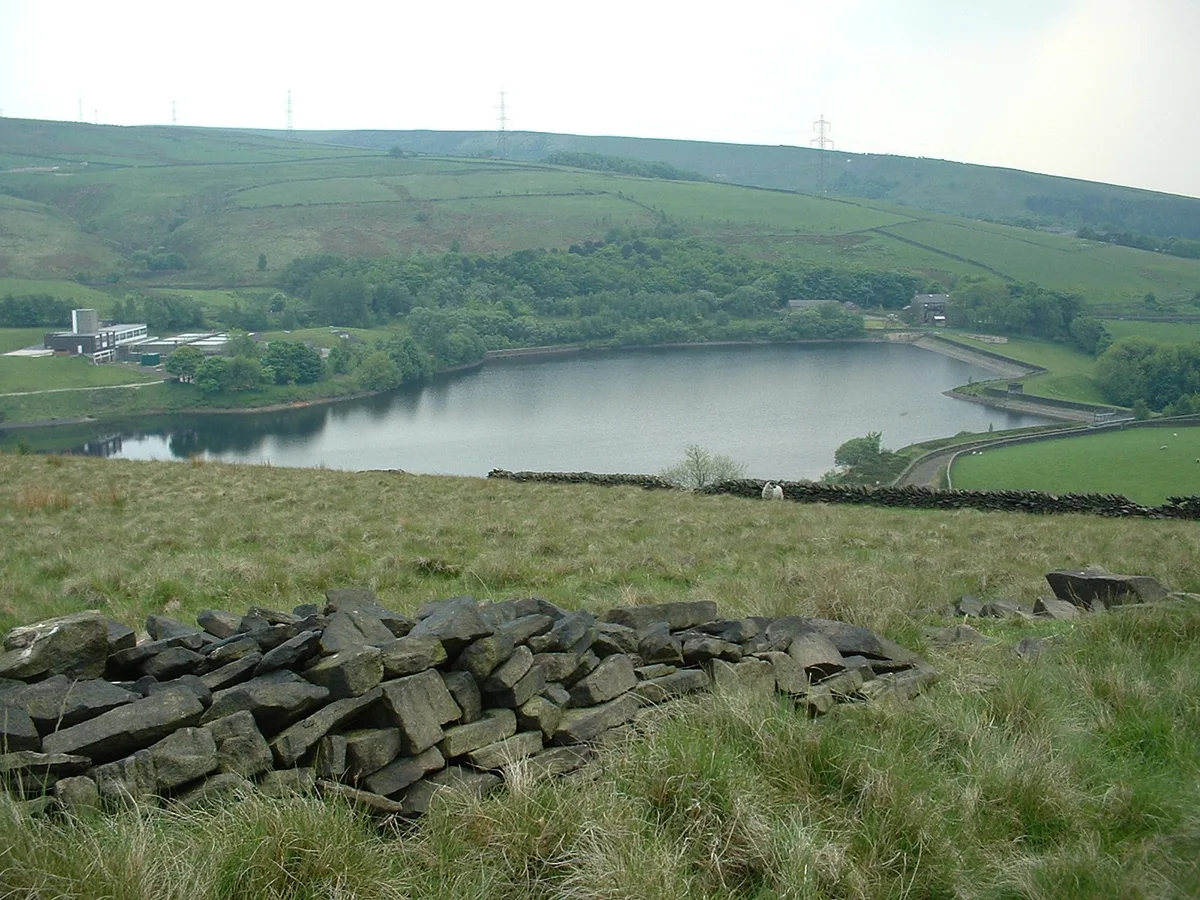
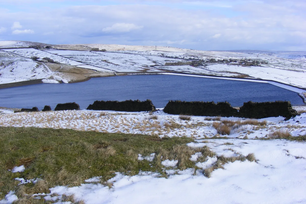
Windy Hill in the South Pennines within the Metropolitan Borough of Rochdale in Greater Manchester, England, rises to 389 m (1,276 ft) metres above sea level. The hill is located west of the A672 road and south west of Junction 22 on the M62 motorway. Windy Hill cutting is up to 120 ft (37 m) deep and the longest on the M62. A pedestrian footbridge, 320 ft (98 m) long and 65 ft (20 m) above the carriageways, carries the Pennine Way above Windy Hill cutting. Its parabolic arch and splayed legs are designed to withstand wind speeds up to 120 mph. Snow lies on Windy Hill for an average of 35 days annually and the area is prone to fog or low cloud. The boundary stone between Greater Manchester and West Yorkshire is in the cutting. The Longden End Brook rises between the hill and the motorway and the Piethorne Brook drains to reservoirs to the southwest. A radio transmitter, part of the British Telecom microwave network, is located to the east.
Excerpt from Wikipedia under CC BY-SA 4.0. See the source article linked in Sources below.
- Coordinates
- 53.6234, -2.0423
- District
- Rochdale
- Parish
- Rochdale, unparished area
- Postcode
- OL15 0AR
- Parliamentary constituency
- Rochdale
- Nearest railway station
- Littleborough — 4.1 km
Sources
- wikidata: Q8024842 (CC0)
- wikipedia: Windy Hill (Pennines) (CC BY-SA 4.0)
- commons: Windy Hill Transmitter.jpg (CC BY-SA 4.0)
Other places nearby
Loading nearby places…
Nearby
 📷 3
📷 3Reservoirs & lochs · North West England
Norman Hill Reservoir
Norman Hill Reservoir — reservoir in Greater Manchester, England, UK.
 📷 3
📷 3Reservoirs & lochs · North West England
Piethorne Reservoir
Piethorne Reservoir — reservoir in Greater Manchester, England, UK.
 📷 3
📷 3Reservoirs & lochs · North West England
Hanging Lees Reservoir
Hanging Lees Reservoir — reservoir in Greater Manchester, England, UK.
 📷 3
📷 3Reservoirs & lochs · North West England
Kitcliffe Reservoir
Kitcliffe Reservoir — reservoir in Greater Manchester, England, UK.
 📷 3
📷 3Mountains & hills · North West England
Blackstone Edge
Blackstone Edge — Named summit at 473 m.
 📷 3
📷 3Reservoirs & lochs · North West England
Rooden Reservoir
Rooden Reservoir — reservoir in Greater Manchester, England, UK.
More natural landmarks in this region
 ★ Iconic📷 4
Natural landmarks · North West England
Coniston Water
Lake District lake — Swallows and Amazons setting and Donald Campbell water-speed history.
 📷 3
📷 3Natural landmarks · North West England
Elter Water
Elter Water — lake in the United Kingdom.
 📷 3
📷 3Natural landmarks · North West England
Esthwaite Water
Esthwaite Water — lake in the United Kingdom.
 Flagship📷 5
Natural landmarks · North West England
Semerwater
Semerwater — lake in North Yorkshire, England, UK.
Frequently asked questions
- Where is Windy Hill?
- Windy Hill is in North-West England, United Kingdom (postcode OL15 0AR), in the parish of Rochdale, unparished area.
- Is Windy Hill a protected site?
- Yes — Windy Hill is part of the South Pennine Moors SSSI Site of Special Scientific Interest.
- Is Windy Hill free to visit?
- Yes, Windy Hill is free to enter.
- How do I get to Windy Hill?
- The nearest railway station is Littleborough, about 4.1 km away. Drivers can navigate to postcode OL15 0AR.