Towns & cities · Northern Ireland
Whitehead
Also known as: An Cionn Bán
Whitehead — seaside town in County Antrim, Northern Ireland, UK.

Wikimedia Commons contributors — see linked file page for photographer and licence licence
Plan your visit
- Typical visit
- 3 h–6 h
- Nearest railway station
- Whitehead Excursion · 0.5 km
- Free entry
- Family-friendly
- Dog-friendly
About
Whitehead is a town, city, village or settlement in the United Kingdom. Recent population estimates put it at around 3,802 people. Address: BT38. Wikidata describes it as: "seaside town in County Antrim, Northern Ireland, UK". Coordinates: 54.7572°, -5.7040°.
Photo gallery
From the Wikipedia article
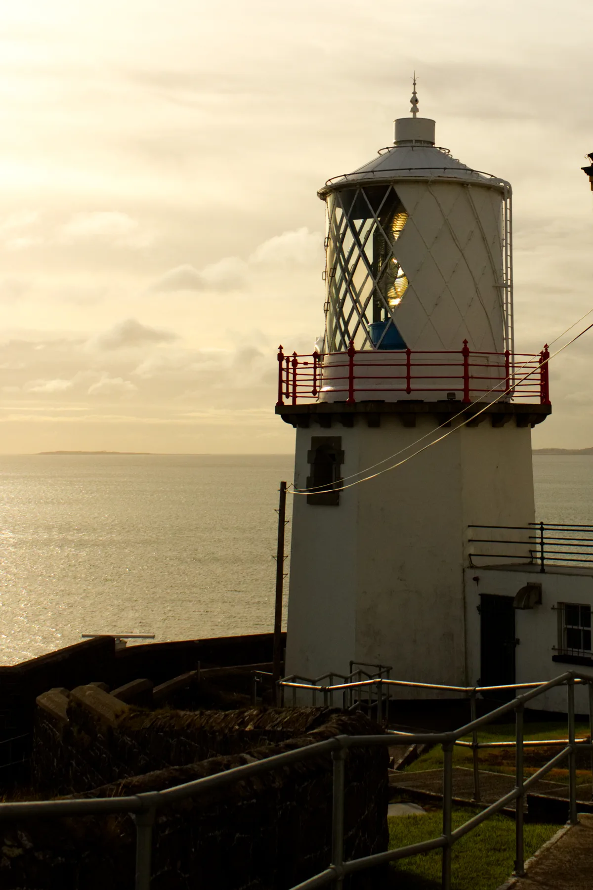
Whitehead is a small seaside town on the east coast of County Antrim, Northern Ireland, lying almost midway between the towns of Carrickfergus and Larne. It lies within the civil parish of Templecorran, the historic barony of Belfast Lower, and is part of Mid and East Antrim Borough Council. Before the Plantation of Ulster its name was recorded as both Whitehead and Kinbaine (from Irish an Cionn Bán 'the white head'). Located at the base of Muldersleigh Hill, Whitehead lies in a small bay between the limestone cliffs of Whitehead and the black volcanic cliff of Blackhead, with the Blackhead Lighthouse on top, marking the entrance to the Belfast Lough. Whitehead is about 20 miles (32 km) from Belfast. On the opposite coast of Belfast Lough, the Copeland Islands, Bangor and part of the County Down coastline, are clearly visible. It had a population of 3,802 in the 2011 Census. Whitehead sometimes known as 'The Town With No Streets', as there are no roadways with the suffix "Street" in their name.
Excerpt from Wikipedia under CC BY-SA 4.0. See the source article linked in Sources below.
Background
History
In late Victorian and Edwardian times, Whitehead was a seaside holiday destination developed by and travelled from Belfast and the surrounding area each year. Whitehead is a Victorian railway village with a preserved conservation area, including the railway station. It is home to the Railway Preservation Society of Ireland, County Antrim Yacht Club and the Council owned Bentra Golf Course, as well as being the starting point for the Gobbins Path. The town also was home to an aerodrome during the First World War which housed two airships. An Irish railway engineer called Berkeley Deane Wise took this tourism endeavour to the next level, creating innovative new paid-for attractions that would…
Sourced from Wikipedia under CC BY-SA 4.0.
- Coordinates
- 54.7572, -5.7040
- District
- Mid and East Antrim
- Postcode
- BT38
- Parliamentary constituency
- East Antrim
- Population
- 3,802
- Nearest railway station
- Whitehead Excursion — 0.5 km
- Official site
- www.steamtrainsireland.com
Sources
- wikidata: Q1233469 (CC0)
- wikipedia: Whitehead, County Antrim (CC BY-SA 4.0)
- commons: Marine Parade, Whitehead - geograph.org.uk - 264264.jpg (CC BY-SA 4.0)
Other places nearby
Loading nearby places…
Nearby
 📷 3
📷 3Castles · Northern Ireland
Castle Chester
Castle Chester — a castle in northern-ireland, United Kingdom.
 📷 4
📷 4Natural landmarks · Northern Ireland
Railway Preservation Society of Ireland
Railway Preservation Society of Ireland in Northern Ireland, United Kingdom.
 📷 5
📷 5Natural landmarks · Northern Ireland
Whitehead railway station
Whitehead railway station in Northern Ireland, United Kingdom.
Hotels · Northern Ireland
The Pink Cottage
The Pink Cottage — a hotel in northern ireland.
 📷 5
📷 5Lighthouses · Northern Ireland
Blackhead Lighthouse
Blackhead Lighthouse — lighthouse in Whitehead, County Antrim, Northern Ireland.
 📷 4
📷 4Towns & cities · Northern Ireland
Ballystrudder
Ballystrudder — village in County Antrim, Northern Ireland, UK.
More towns in this region
 Flagship📷 5
Towns & cities · Northern Ireland
Bangor
Bangor — city in Northern Ireland, United Kingdom.
 Flagship📷 5
Towns & cities · Northern Ireland
Belfast
Belfast — capital city of Northern Ireland.
 Flagship📷 3
Towns & cities · Northern Ireland
Derry
Derry — city in Northern Ireland.
 Flagship📷 5
Towns & cities · Northern Ireland
Lisburn
Lisburn — city in Northern Ireland.
Frequently asked questions
- Where is Whitehead?
- Whitehead is in Northern Ireland, United Kingdom (postcode BT38).
- Is Whitehead free to visit?
- Yes, Whitehead is free to enter.
- How do I get to Whitehead?
- The nearest railway station is Whitehead Excursion, about 0.5 km away. Drivers can navigate to postcode BT38.