Towns & cities · Northern Ireland
Ballystrudder
Also known as: Baile Strudair
Ballystrudder — village in County Antrim, Northern Ireland, UK.

Wikimedia Commons contributors — see linked file page for photographer and licence licence
Plan your visit
- Typical visit
- 3 h–6 h
- Nearest railway station
- Ballycarry · 1.0 km
- Free entry
- Family-friendly
- Dog-friendly
About
Ballystrudder is a town, city, village or settlement in the United Kingdom. Recent population estimates put it at around 992 people. Address: BT40. Wikidata describes it as: "village in County Antrim, Northern Ireland, UK". Coordinates: 54.7789°, -5.7106°.
Photo gallery
From the Wikipedia article
Ballystrudder or Ballystruder (from Irish Baile Strudair, meaning 'Strudar’s townland') is a small village and townland (of 255 acres) on Islandmagee in County Antrim, Northern Ireland. It is situated in the historic barony of Belfast Lower and the civil parish of Islandmagee. It is part of Mid and East Antrim Borough Council. It had a population of 992 people in the 2011 census.
Excerpt from Wikipedia under CC BY-SA 4.0. See the source article linked in Sources below.
- Coordinates
- 54.7789, -5.7106
- District
- Mid and East Antrim
- Postcode
- BT40
- Parliamentary constituency
- East Antrim
- Population
- 992
- Nearest railway station
- Ballycarry — 1 km
- Official site
- thegobbinscliffpath.com
Sources
- wikidata: Q1425117 (CC0)
- wikipedia: Ballystrudder (CC BY-SA 4.0)
- commons: Road near Ballystrudder, Islandmagee - geograph.org.uk - 237672.jpg (CC BY-SA 4.0)
Other places nearby
Loading nearby places…
Nearby
 📷 3
📷 3Natural landmarks · Northern Ireland
Gobbins Visitor Centre
Gobbins Visitor Centre — a natural landmark in northern-ireland, United Kingdom.
 📷 4
📷 4Natural landmarks · Northern Ireland
Ballycarry railway station
Ballycarry railway station in Northern Ireland, United Kingdom.
Hotels · Northern Ireland
The Pink Cottage
The Pink Cottage — a hotel in northern ireland.
 📷 5
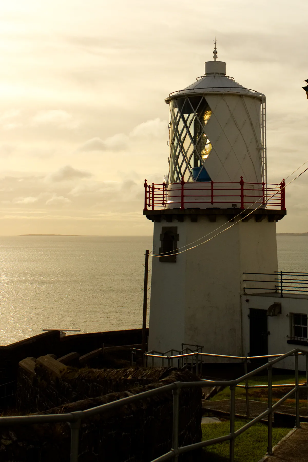
📷 5Lighthouses · Northern Ireland
Blackhead Lighthouse
Blackhead Lighthouse — lighthouse in Whitehead, County Antrim, Northern Ireland.
 📷 5
📷 5Natural landmarks · Northern Ireland
Islandmagee
Islandmagee in Northern Ireland, United Kingdom.
 📷 5
📷 5Manor houses · Northern Ireland
Redhall House
Redhall House — a manor in northern-ireland, United Kingdom.
More towns in this region
 Flagship📷 5
Towns & cities · Northern Ireland
Bangor
Bangor — city in Northern Ireland, United Kingdom.
 Flagship📷 5
Towns & cities · Northern Ireland
Belfast
Belfast — capital city of Northern Ireland.
 Flagship📷 3
Towns & cities · Northern Ireland
Derry
Derry — city in Northern Ireland.
 Flagship📷 5
Towns & cities · Northern Ireland
Lisburn
Lisburn — city in Northern Ireland.
Frequently asked questions
- Where is Ballystrudder?
- Ballystrudder is in Northern Ireland, United Kingdom (postcode BT40).
- Is Ballystrudder free to visit?
- Yes, Ballystrudder is free to enter.
- How do I get to Ballystrudder?
- The nearest railway station is Ballycarry, about 1.0 km away. Drivers can navigate to postcode BT40.