Mountains & hills · Yorkshire & the Humber
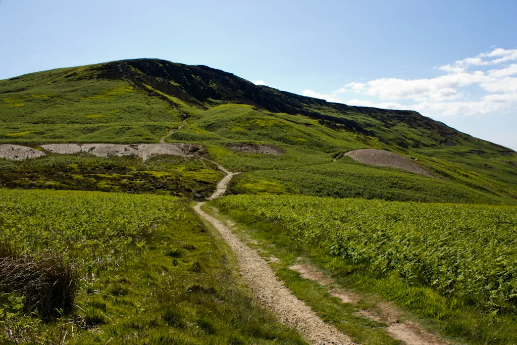
White Hill
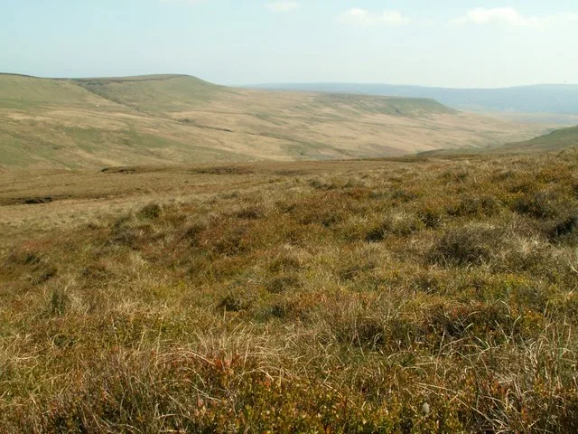
White Hill — Named summit at 398 m.

Wikimedia Commons contributors — see linked file page for photographer and licence licence
Plan your visit
- Typical visit
- 3 h–8 h
- Best time of year
- Late spring – early autumn (May–Oct)
- Nearest railway station
- Battersby · 4.2 km
- Free entry
- Dog-friendly
About
White Hill is a named summit in the United Kingdom. Wikidata describes it as: "Named summit at 398 m.". Coordinates: 54.4256°, -1.1282°.
Photo gallery
Protected designations
- Site of Special Scientific Interest: Broughton Bank SSSI
- Site of Special Scientific Interest: North York Moors SSSI
Designations sourced from Natural England open data under OGL v3.
From the Wikipedia article
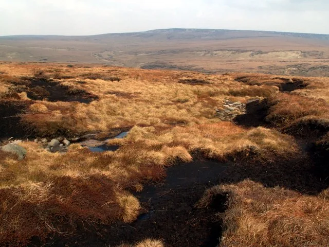
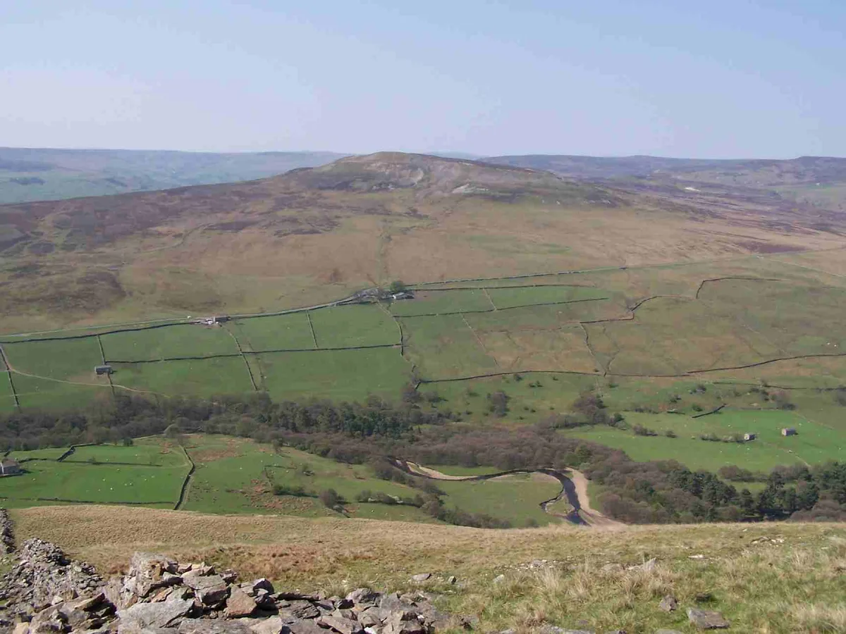
Hasty Bank is a hill in the Cleveland Hills range of the North York Moors, in north-east England. The Cleveland Way National Trail crosses Hasty Bank and is part of Wainwright's Coast to Coast Walk. The north face of Hasty Bank has heavily eroded, possessing a vertical rocky face sloping steeply down to Broughton Bank. Roseberry Topping can be clearly seen from the summit which offers great views of the Tees Valley. From the north, Hasty Bank is easily identified in line with Carlton Bank, Cringle Moor, Cold Moor, and Urra Moor which form the more northern facing hills of the range, before sweeping north to become the west facing hills up towards Roseberry Topping.
Excerpt from Wikipedia under CC BY-SA 4.0. See the source article linked in Sources below.
Background
Description
A large rocky outcrop known as the Wainstones lies at the western end of Hasty Bank, just below the summit. Exhibiting carvings including cup and ring markings, dating back to the Bronze Age, these rocks may once have held significant importance to prehistoric locals.
Sourced from Wikipedia under CC BY-SA 4.0.
- Coordinates
- 54.4256, -1.1282
- District
- North Yorkshire
- Parish
- Ingleby Greenhow
- Postcode
- TS9 7HX
- Parliamentary constituency
- Richmond and Northallerton
- Nearest railway station
- Battersby — 4.2 km
Sources
- osm: n196175306 (ODbL)
- wikipedia: Hasty Bank (CC BY-SA 4.0)
- commons: Hasty Bank from Urra.jpg (CC BY-SA 4.0)
Other places nearby
Loading nearby places…
Nearby
 📷 3
📷 3Viewpoints · Yorkshire & the Humber
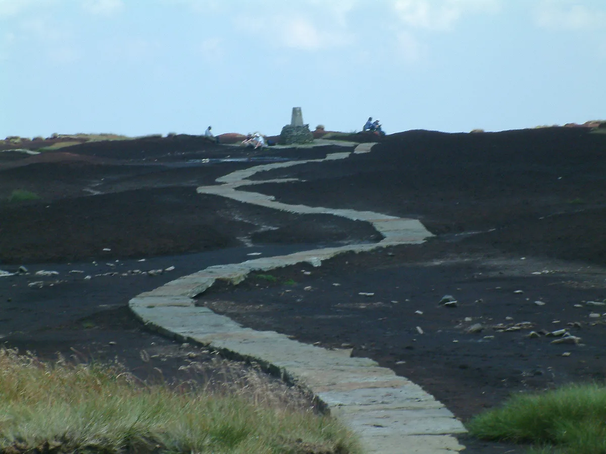
The Wainstones
The Wainstones is a viewpoint in the United Kingdom.
 📷 3
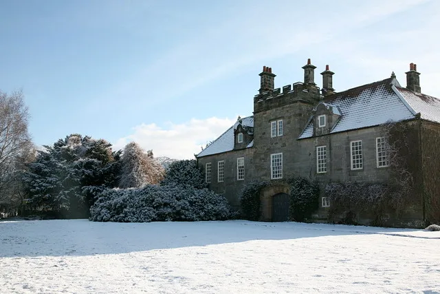
📷 3Historic houses · Yorkshire & the Humber
Meynell Hall
Meynell Hall — house in Great and Little Broughton, North Yorkshire, England, UK.
 📷 3
📷 3Stately homes · Yorkshire & the Humber
Ingleby Manor
Ingleby Manor — house in Ingleby Greenhow, North Yorkshire, England, UK.
 📷 5
📷 5Mountains & hills · Yorkshire & the Humber
Cringle Moor
Cringle Moor — Named summit at 432 m.
 📷 4
📷 4Historic pubs · North East England
The Dudley Arms Public House
The Dudley Arms Public House in England North East, United Kingdom.
📷 4Other places · North East England
Ingleby Greenhow
Ingleby Greenhow in England North East, United Kingdom.
More mountains in this region
 📷 3
📷 3Mountains & hills · Yorkshire & the Humber
Black Chew Head
Black Chew Head — Named summit at 542 m.
 📷 3
📷 3Mountains & hills · Yorkshire & the Humber
Black Hill
Black Hill — Named summit at 582 m.
 📷 3
📷 3Mountains & hills · Yorkshire & the Humber
Britland Edge Hill
Britland Edge Hill — Named summit at 523 m.
 📷 3
📷 3Mountains & hills · Yorkshire & the Humber
Calver Hill
Calver Hill — Named summit at 493 m.
Frequently asked questions
- Where is White Hill?
- White Hill is in Yorkshire, United Kingdom (postcode TS9 7HX), in the parish of Ingleby Greenhow.
- Is White Hill a protected site?
- Yes — White Hill is part of the Broughton Bank SSSI Site of Special Scientific Interest and the North York Moors SSSI Site of Special Scientific Interest.
- Is White Hill free to visit?
- Yes, White Hill is free to enter.
- How do I get to White Hill?
- The nearest railway station is Battersby, about 4.2 km away. Drivers can navigate to postcode TS9 7HX.