Mountains & hills · Yorkshire & the Humber
Cringle Moor
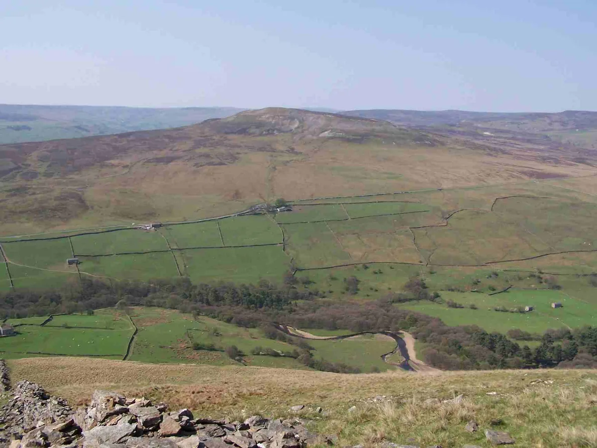
Cringle Moor — Named summit at 432 m.

Wikimedia Commons contributors — see linked file page for photographer and licence licence
Plan your visit
- Typical visit
- 3 h–8 h
- Best time of year
- Late spring – early autumn (May–Oct)
- Nearest railway station
- Battersby · 6.7 km
- Free entry
- Dog-friendly
About
Cringle Moor is a named summit in the United Kingdom. Wikidata describes it as: "Named summit at 432 m.". Coordinates: 54.4192°, -1.1732°.
Photo gallery
Protected designations
- Site of Special Scientific Interest: North York Moors SSSI
Designations sourced from Natural England open data under OGL v3.
From the Wikipedia article
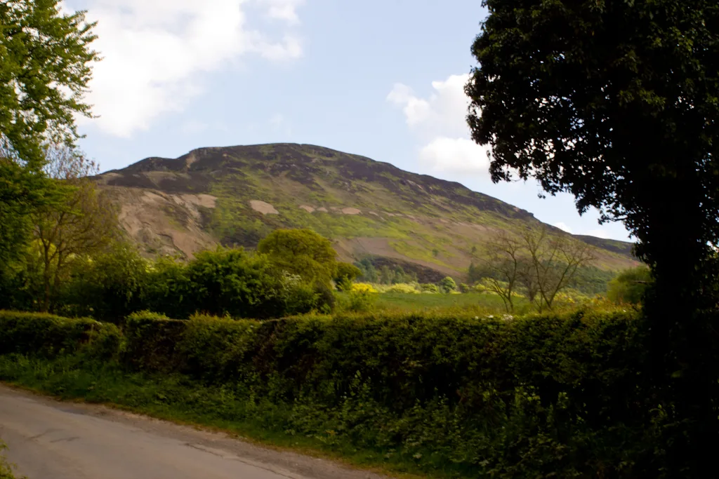
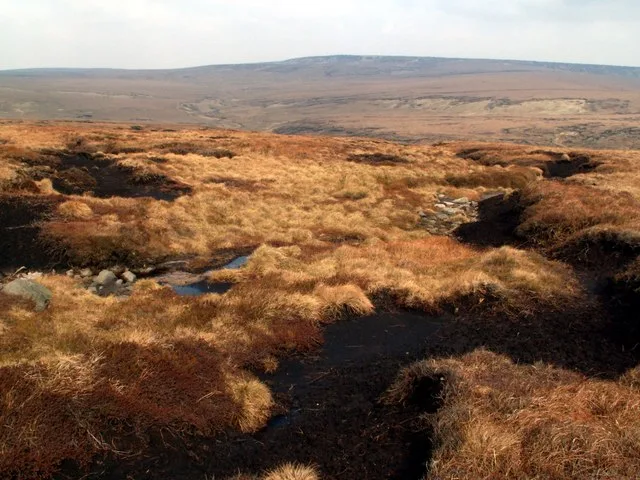
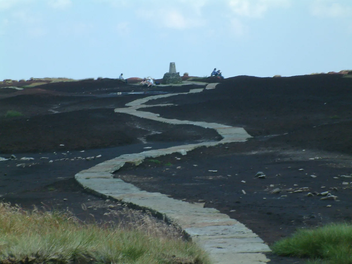
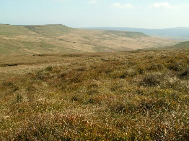
Cringle Moor (also known as Cranimoor), at 432 m (1,417 ft), is the third-highest hill in the North York Moors, England, and the highest point west of Clay Bank. The hill is crossed by the Cleveland Way National Trail and is a part of Alfred Wainwright's Coast to Coast Walk, which also passes over the neighbouring tops of Cold Moor, Carlton Moor, Live Moor and Hasty Bank — a section of the walk which Wainwright described as "one of the finest". It is also part of the Lyke Wake Walk. Just to the west of the summit is the burial mound of 'Drake Howe (Howe is an Old Norse word meaning "burial mound"). This Bronze Age burial mound is now a scheduled ancient monument.
Excerpt from Wikipedia under CC BY-SA 4.0. See the source article linked in Sources below.
- Coordinates
- 54.4192, -1.1732
- District
- North Yorkshire
- Parish
- Bilsdale Midcable
- Postcode
- TS9 7JQ
- Parliamentary constituency
- Richmond and Northallerton
- Nearest railway station
- Battersby — 6.7 km
Sources
- osm: n196179449 (ODbL)
- wikipedia: Cringle Moor (CC BY-SA 4.0)
- commons: Cleveland Way onto Cringle Moor.jpg (CC BY-SA 4.0)
Other places nearby
Loading nearby places…
Nearby
 📷 3
📷 3Memorials & monuments · Yorkshire & the Humber
Alec Falconer
Alec Falconer — a memorial in england-yorkshire, United Kingdom.
Campsites · Yorkshire & the Humber
Lordstones Country Park
Lordstones Country Park — a campsite in england yorkshire.
 📷 5
📷 5Windmills · Yorkshire & the Humber
Standing stone on Bilsdale West Moor
Standing stone on Bilsdale West Moor — a post mill in england-yorkshire, United Kingdom.
 📷 5
📷 5Natural landmarks · Yorkshire & the Humber
Carlton Bank
Carlton Bank — hill in the United Kingdom.
 📷 4
📷 4National parks · North East England
Cleveland Hills
Cleveland Hills in England North East, United Kingdom.
 📷 5
📷 5Mountains & hills · Yorkshire & the Humber
Carlton Bank
Carlton Bank — Named summit at 408 m.
More mountains in this region
 📷 3
📷 3Mountains & hills · Yorkshire & the Humber
Black Chew Head
Black Chew Head — Named summit at 542 m.
 📷 3
📷 3Mountains & hills · Yorkshire & the Humber
Black Hill
Black Hill — Named summit at 582 m.
 📷 3
📷 3Mountains & hills · Yorkshire & the Humber
Britland Edge Hill
Britland Edge Hill — Named summit at 523 m.
 📷 3
📷 3Mountains & hills · Yorkshire & the Humber
Calver Hill
Calver Hill — Named summit at 493 m.
Frequently asked questions
- Where is Cringle Moor?
- Cringle Moor is in Yorkshire, United Kingdom (postcode TS9 7JQ), in the parish of Bilsdale Midcable.
- Is Cringle Moor a protected site?
- Yes — Cringle Moor is part of the North York Moors SSSI Site of Special Scientific Interest.
- Is Cringle Moor free to visit?
- Yes, Cringle Moor is free to enter.
- How do I get to Cringle Moor?
- The nearest railway station is Battersby, about 6.7 km away. Drivers can navigate to postcode TS9 7JQ.