Towns & cities · West Midlands
Whipsnade
Whipsnade — village and civil parish in Bedfordshire, UK.

Wikimedia Commons contributors — see linked file page for photographer and licence licence
Plan your visit
- Typical visit
- 3 h–6 h
- Nearest railway station
- Whipsnade Central · 0.7 km
- Free entry
- Family-friendly
- Dog-friendly
About
Whipsnade is a town, city, village or settlement in the United Kingdom. Recent population estimates put it at around 420 people. Address: LU6. Wikidata describes it as: "village and civil parish in Bedfordshire, UK". Coordinates: 51.8509°, -0.5349°.
Photo gallery
Protected designations
- Area of Outstanding Natural Beauty: Chilterns
Designations sourced from Natural England open data under OGL v3.
From the Wikipedia article
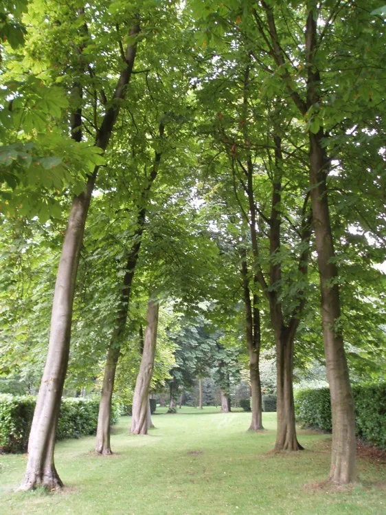
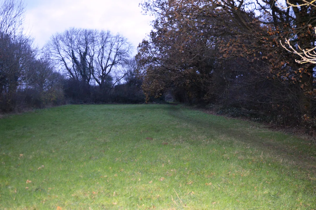
Whipsnade is a small village and civil parish in Bedfordshire, England. It lies on the eastward tail spurs of the Chiltern Hills, about 2+1⁄2 miles (4.0 km) south-south-west of Dunstable on the top of the Dunstable Downs, which drop away steeply to the south of the village.
Excerpt from Wikipedia under CC BY-SA 4.0. See the source article linked in Sources below.
Background
History
The village was first mentioned in a coroner's roll of 1274 when Whipsnade Wood was described as being within the parish of Houghton Regis. Edward John Eyre, explorer of Australia, was born in Whipsnade in 1815. The parish of Whipsnade used to have a detached part at Ballingdon Bottom, which formed an exclave of Bedfordshire, surrounded by Hertfordshire. The county boundary was changed in 1844, transferring Ballingdon Bottom to Hertfordshire. For parish purposes, it remained a detached part of Whipsnade. When district councils were established in 1894, the main part of Whipsnade parish was included in the Luton Rural District in Bedfordshire, whilst Ballingdon Bottom became part of the…
Sourced from Wikipedia under CC BY-SA 4.0.
- Coordinates
- 51.8509, -0.5349
- District
- Central Bedfordshire
- Parish
- Whipsnade
- Postcode
- LU6
- Parliamentary constituency
- Luton South and South Bedfordshire
- Population
- 420
- Nearest railway station
- Whipsnade Central — 0.7 km
Sources
- wikidata: Q1519560 (CC0)
- wikipedia: Whipsnade (CC BY-SA 4.0)
- commons: St.Mary Magdelen, Whipsnade - geograph.org.uk - 222462.jpg (CC BY-SA 4.0)
Other places nearby
Loading nearby places…
Nearby
 📷 3
📷 3Cathedrals · West Midlands
Tree Cathedral
Tree Cathedral — a cathedral in england-west-midlands, United Kingdom.
 📷 3
📷 3Forests & woodlands · West Midlands
Whipsnade Tree Cathedral
Whipsnade Tree Cathedral is a forest or woodland in the United Kingdom.
 📷 3
📷 3Gardens · West Midlands
Whipsnade Tree Cathedral
Whipsnade Tree Cathedral — Garden in Bedfordshire, England, UK.
 📷 3
📷 3Wildlife reserves · West Midlands
Sallowsprings
Sallowsprings — nature reserve in the United Kingdom.
 📷 3
📷 3Zoos & aquariums · West Midlands
Hullabazoo Farm
Hullabazoo Farm — a zoo aquarium in england-west-midlands, United Kingdom.
 📷 3
📷 3Memorials & monuments · West Midlands
Sir Peter Chalmers Mitchell Memorial
Sir Peter Chalmers Mitchell Memorial is a memorial in the United Kingdom.
More towns in this region
 Flagship📷 3
Towns & cities · West Midlands
Adderbury
Adderbury — village and civil parish in Cherwell district, Oxfordshire, England.
 Flagship📷 3
Towns & cities · West Midlands
Admington
Admington — village in Warwickshire, England, UK.
 Flagship📷 3
Towns & cities · West Midlands
Aldington
Aldington — village in Worcestershire, United Kingdom.
 Flagship📷 5
Towns & cities · West Midlands
Anstey
Anstey — large village in Leicestershire, England.
Frequently asked questions
- Where is Whipsnade?
- Whipsnade is in the West Midlands, United Kingdom (postcode LU6), in the parish of Whipsnade.
- Is Whipsnade a protected site?
- Yes — Whipsnade is part of the Chilterns National Landscape (AONB).
- Is Whipsnade free to visit?
- Yes, Whipsnade is free to enter.
- How do I get to Whipsnade?
- The nearest railway station is Whipsnade Central, about 0.7 km away. Drivers can navigate to postcode LU6.