Mountains & hills · West Midlands
Dunstable Downs
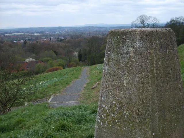
Dunstable Downs — Named summit at 243 m.

Wikimedia Commons contributors — see linked file page for photographer and licence licence
Plan your visit
- Typical visit
- 3 h–8 h
- Best time of year
- Late spring – early autumn (May–Oct)
- Nearest railway station
- Whipsnade Central · 2.0 km
- Free entry
- Dog-friendly
About
Dunstable Downs is a named summit in the United Kingdom. Wikidata describes it as: "Named summit at 243 m.". Coordinates: 51.8642°, -0.5363°.
Photo gallery
Protected designations
- Area of Outstanding Natural Beauty: Chilterns
Designations sourced from Natural England open data under OGL v3.
From the Wikipedia article
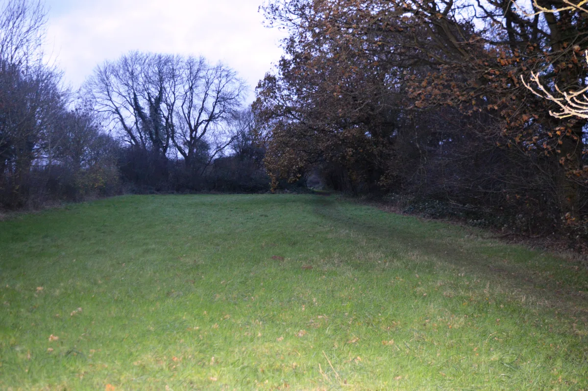
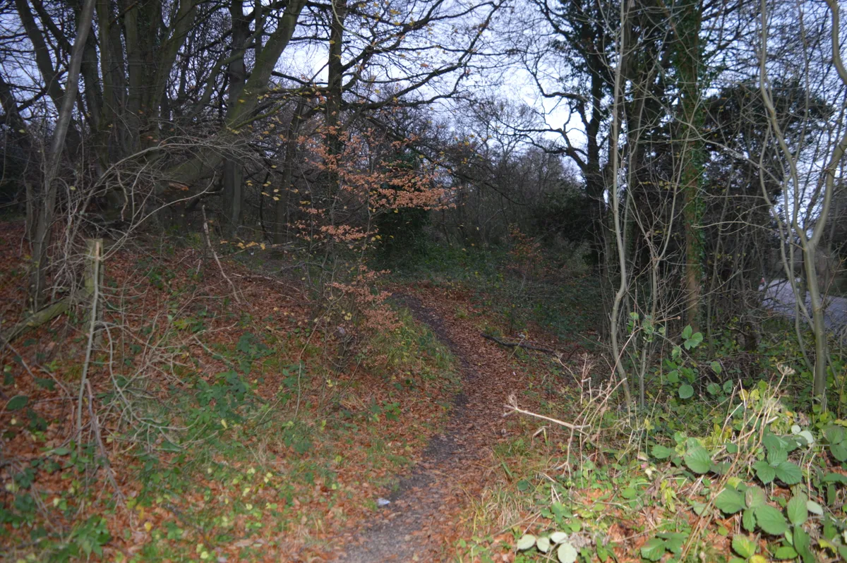
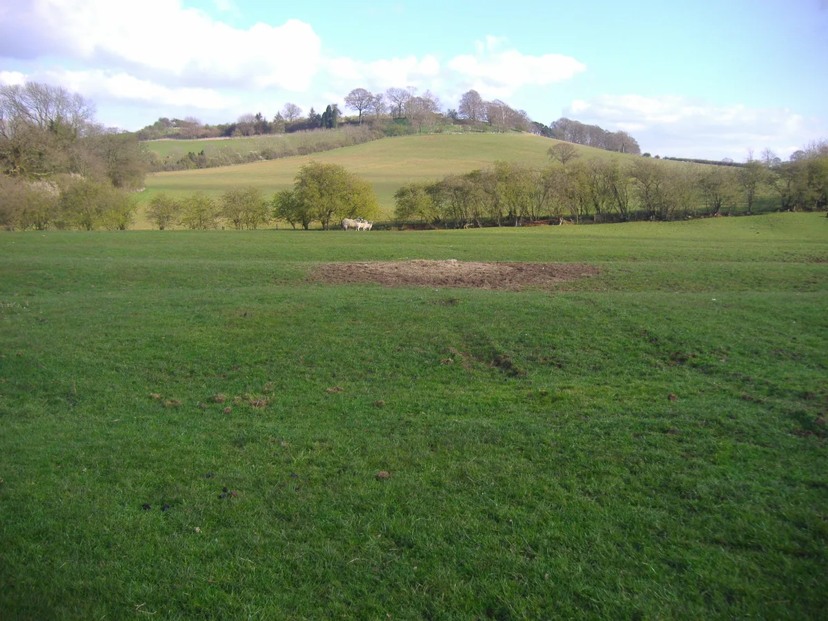
Dunstable Downs are part of the Chiltern Hills, in southern Bedfordshire, England; and are located near (and named after) the town of Dunstable. They are a chalk escarpment forming the north-eastern reaches of the Chilterns. At 243 m (797 ft), Dunstable Downs are the highest point in the county of Bedfordshire. Because of its elevation, Dunstable Downs hosted a station in the shutter telegraph chain which connected the Admiralty in London to its naval ships in the port of Great Yarmouth during the years 1808 to 1814. Whipsnade Zoo has cut an enormous lion shape into the chalk on the side of one of the hills. The lion can be seen from the B489 (Aylesbury to Dunstable road). The downs are used by gliders, kite fliers, hang gliders and paragliders in the area because of their height. The London Gliding Club is based at the foot of the downs. Much of the downs is managed by the National Trust as part of the Dunstable Downs & Whipsnade Estate property.
Excerpt from Wikipedia under CC BY-SA 4.0. See the source article linked in Sources below.
- Coordinates
- 51.8642, -0.5363
- District
- Central Bedfordshire
- Parish
- Whipsnade
- Postcode
- LU6 2GY
- Parliamentary constituency
- Luton South and South Bedfordshire
- Nearest railway station
- Whipsnade Central — 2 km
Sources
- osm: n6443799173 (ODbL)
- wikipedia: Dunstable Downs (CC BY-SA 4.0)
- commons: Trig point, on Dunstable Downs - geograph.org.uk - 1440937.jpg (CC BY-SA 4.0)
Other places nearby
Loading nearby places…
Nearby
 📷 3
📷 3Memorials & monuments · West Midlands
Robertson Corner Memorial
Robertson Corner Memorial — a memorial in england-west-midlands, United Kingdom.
 📷 3
📷 3Natural landmarks · West Midlands
Dunstable Downs Beacon
Dunstable Downs Beacon — a other in england-west-midlands, United Kingdom.
 📷 3
📷 3Wildlife reserves · West Midlands
Sallowsprings
Sallowsprings — nature reserve in the United Kingdom.
 📷 3
📷 3Forests & woodlands · West Midlands
Whipsnade Tree Cathedral
Whipsnade Tree Cathedral is a forest or woodland in the United Kingdom.
 📷 3
📷 3Wildlife reserves · West Midlands
Landpark Wood
Landpark Wood — nature reserve in the United Kingdom.
 📷 3
📷 3Cathedrals · West Midlands
Tree Cathedral
Tree Cathedral — a cathedral in england-west-midlands, United Kingdom.
More mountains in this region
 📷 5
📷 5Mountains & hills · West Midlands
Arbury Hill
Arbury Hill — Named summit at 224.3 m.
Mountains & hills · West Midlands
Barr Beacon
Barr Beacon — Named summit at 227 m.
 📷 3
📷 3Mountains & hills · West Midlands
Barrow Hill
Barrow Hill — Named summit at 179 m.
Mountains & hills · West Midlands
Beacon Hill
Beacon Hill — Named summit at 237 m.
Frequently asked questions
- Where is Dunstable Downs?
- Dunstable Downs is in the West Midlands, United Kingdom (postcode LU6 2GY), in the parish of Whipsnade.
- Is Dunstable Downs a protected site?
- Yes — Dunstable Downs is part of the Chilterns National Landscape (AONB).
- Is Dunstable Downs free to visit?
- Yes, Dunstable Downs is free to enter.
- How do I get to Dunstable Downs?
- The nearest railway station is Whipsnade Central, about 2.0 km away. Drivers can navigate to postcode LU6 2GY.