Mountains & hills · West Midlands
Arbury Hill
Arbury Hill — Named summit at 224.3 m.

Wikimedia Commons contributors — see linked file page for photographer and licence licence
.JPG)
Plan your visit
- Typical visit
- 3 h–8 h
- Best time of year
- Late spring – early autumn (May–Oct)
- Free entry
- Dog-friendly
About
Arbury Hill is a named summit in the United Kingdom. Wikidata describes it as: "Named summit at 224.3 m.". Coordinates: 52.2245°, -1.2109°.
Photo gallery
From the Wikipedia article
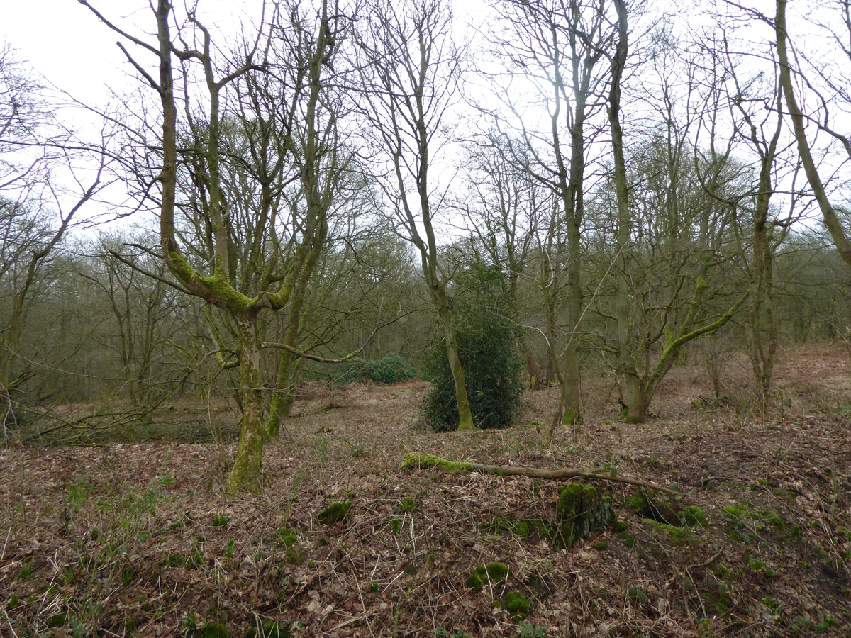
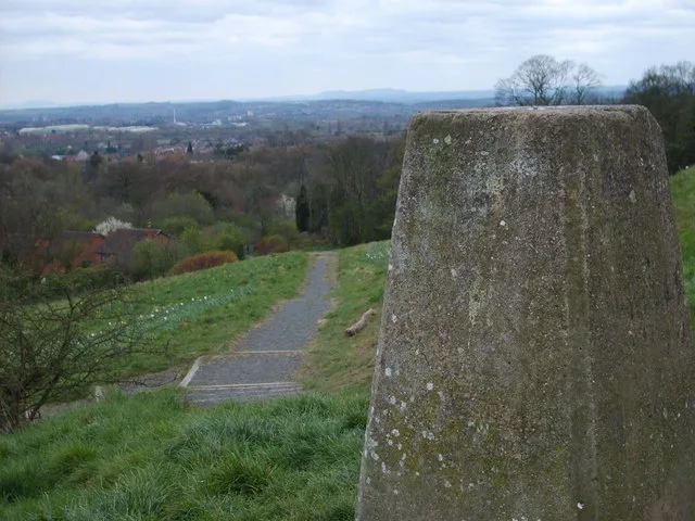
Arbury Hill, at 225 m (738 ft), is the joint highest point in the English county of Northamptonshire. It is 9 km (5.6 mi) southwest of the town of Daventry. The slopes of Arbury Hill are a drainage divide between three major river catchment areas, with the Nene to the north, east and south, the Cherwell (a tributary of the Thames) to the south-west and the Leam (a tributary of the Severn) to the west and north-west. There are fine views with Rugby and Coventry visible to the northwest and Northampton to the east. The River Nene rises in a swampy hollow on the northwestern flanks of the hill.
Excerpt from Wikipedia under CC BY-SA 4.0. See the source article linked in Sources below.
Background
History
On the summit of Arbury Hill there are the vestiges of an Iron Age Fort (), although its date and origin are disputed. The remains are in the form of a square ditch and embankment about 200 metres (yards) across. Although little trace remains of this fort, the outer bank encloses an area of about 12 acre. It is mentioned as one of the boundary marks in a land grant of Edmund the Elder, as being the place where the three parishes of Badby, Dodford and Everdon meet. The summit of Arbury Hill was one in a series of points used for triangulation in 1784 to determine the exact diameter and magnitude of the Earth, in a sequence of measurements undertaken by the British Government. There is a…
Sourced from Wikipedia under CC BY-SA 4.0.
- Coordinates
- 52.2245, -1.2109
- District
- West Northamptonshire
- Parish
- Staverton
- Postcode
- NN11 3DA
- Parliamentary constituency
- Daventry
Sources
- osm: n3428788005 (ODbL)
- wikipedia: Arbury Hill (CC BY-SA 4.0)
- commons: Arbury Hill, Northamptonshire 17th April 2008 (1).JPG (CC BY-SA 4.0)
Other places nearby
Loading nearby places…
Nearby
Vineyards · West Midlands
Arbury Hill, Badby
Arbury Hill, Badby — a UK vineyard in england west midlands, producing English or Welsh wine from cool-climate grape varieties.
 📷 5
📷 5Wildlife reserves · West Midlands
Badby Wood
Badby Wood is a wildlife reserve in the United Kingdom.
 Flagship📷 5
Towns & cities · West Midlands
Hellidon
Hellidon — village and civil parish in Northamptonshire, UK.
 📷 3
📷 3Memorials & monuments · West Midlands
Charwelton and Fawsley War Memorial
Charwelton and Fawsley War Memorial — Grade II listed building-listed memorial in england-west-midlands, United Kingdom.
Hotels · West Midlands
Fawsley Hall Hotel & Spa
Fawsley Hall Hotel & Spa — a hotel in england west midlands. 4-star. Brand: Handpicked Hotels.
 📷 3
📷 3Historic houses · West Midlands
Fawsley Hall
Fawsley Hall — Grade I listed building in Fawsley, Northamptonshire, England, UK.
More mountains in this region
Mountains & hills · West Midlands
Barr Beacon
Barr Beacon — Named summit at 227 m.
 📷 3
📷 3Mountains & hills · West Midlands
Barrow Hill
Barrow Hill — Named summit at 179 m.
Mountains & hills · West Midlands
Beacon Hill
Beacon Hill — Named summit at 237 m.
.jpg?width=1200) 📷 3
📷 3Mountains & hills · West Midlands
Ben Boucher (1769-1851) Bench
Ben Boucher (1769-1851) Bench — Public artwork (installation) by John McKenna;Steve Field.
Frequently asked questions
- Where is Arbury Hill?
- Arbury Hill is in the West Midlands, United Kingdom (postcode NN11 3DA), in the parish of Staverton.
- Is Arbury Hill free to visit?
- Yes, Arbury Hill is free to enter.
- How do I get to Arbury Hill?
- Drivers can navigate to postcode NN11 3DA. It sits within the Daventry parliamentary constituency.