Towns & cities · West Midlands
Hellidon
Hellidon — village and civil parish in Northamptonshire, UK.

Wikimedia Commons contributors — see linked file page for photographer and licence licence
Plan your visit
- Typical visit
- 3 h–6 h
- Free entry
- Family-friendly
- Dog-friendly
About
Hellidon is a town, city, village or settlement in the United Kingdom. It covers approximately 1,489 km². Recent population estimates put it at around 192 people. Address: NN11. Wikidata describes it as: "village and civil parish in Northamptonshire, UK". Coordinates: 52.2223°, -1.2475°.
Photo gallery
From the Wikipedia article
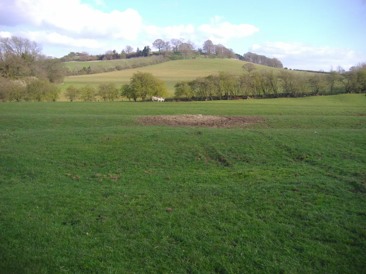
Hellidon is a village and civil parish about 5 miles (8 km) south-west of Daventry in Northamptonshire, England. The parish area is about 1,600 acres (650 ha). It lies 520 feet (160 m) – 590 feet (180 m) above sea level on the north face of an ironstone ridge, its highest point, 670 feet (200 m) at Windmill Hill, being 0.5 miles (800 m) south-east of the village. The Leam and tributaries rise in the parish. The 2011 Census gave a population (with Lower and Upper Catesby) of 256, estimated at 286 in 2019. The long-distance Jurassic Way footpath linking Banbury, Oxfordshire, and Stamford, Lincolnshire, passes through. The origin of the name is unclear. "Holy Valley", "Haegla's Valley" and "Unstable valley" have been suggested, with the Old English "dun", meaning hill.
Excerpt from Wikipedia under CC BY-SA 4.0. See the source article linked in Sources below.
- Coordinates
- 52.2223, -1.2475
- District
- West Northamptonshire
- Parish
- Hellidon
- Postcode
- NN11
- Parliamentary constituency
- Daventry
- Population
- 192
- Official site
- www.northantscalc.gov.uk
Sources
- wikidata: Q1771983 (CC0)
- wikipedia: Hellidon (CC BY-SA 4.0)
- commons: Hellidon church.jpg (CC BY-SA 4.0)
Other places nearby
Loading nearby places…
Nearby
 📷 5
📷 5Mountains & hills · West Midlands
Arbury Hill
Arbury Hill — Named summit at 224.3 m.
Vineyards · West Midlands
Arbury Hill, Badby
Arbury Hill, Badby — a UK vineyard in england west midlands, producing English or Welsh wine from cool-climate grape varieties.
 📷 3
📷 3Manor houses · West Midlands
Old Manor Cottage The Old Manor
Old Manor Cottage The Old Manor — Grade II listed building-listed manor in england-west-midlands, United Kingdom.
 📷 5
📷 5Memorials & monuments · West Midlands
War Memorial
War Memorial is a memorial in the United Kingdom.
 📷 3
📷 3Memorials & monuments · West Midlands
Charwelton and Fawsley War Memorial
Charwelton and Fawsley War Memorial — Grade II listed building-listed memorial in england-west-midlands, United Kingdom.
 Flagship📷 4
Towns & cities · West Midlands
Charwelton
Charwelton — village and civil parish in Northamptonshire, England.
More towns in this region
 Flagship📷 3
Towns & cities · West Midlands
Adderbury
Adderbury — village and civil parish in Cherwell district, Oxfordshire, England.
 Flagship📷 3
Towns & cities · West Midlands
Admington
Admington — village in Warwickshire, England, UK.
 Flagship📷 3
Towns & cities · West Midlands
Aldington
Aldington — village in Worcestershire, United Kingdom.
 Flagship📷 5
Towns & cities · West Midlands
Anstey
Anstey — large village in Leicestershire, England.
Frequently asked questions
- Where is Hellidon?
- Hellidon is in the West Midlands, United Kingdom (postcode NN11), in the parish of Hellidon.
- Is Hellidon free to visit?
- Yes, Hellidon is free to enter.
- How do I get to Hellidon?
- Drivers can navigate to postcode NN11. It sits within the Daventry parliamentary constituency.