Mountains & hills · South East England
Watershoot Bay
Watershoot Bay — bay on the south coast of the Isle of Wight, England, UK.

Wikimedia Commons contributors — see linked file page for photographer and licence licence
Plan your visit
- Typical visit
- 3 h–8 h
- Best time of year
- Late spring – early autumn (May–Oct)
- Free entry
- Dog-friendly
About
Watershoot Bay is a named summit in the United Kingdom. Part of English Channel. Wikidata describes it as: "bay on the south coast of the Isle of Wight, England, UK". Coordinates: 50.5760°, -1.3060°.
Photo gallery
Protected designations
- Site of Special Scientific Interest: Compton Chine to Steephill Cove SSSI
- Area of Outstanding Natural Beauty: Isle Of Wight
Designations sourced from Natural England open data under OGL v3.
From the Wikipedia article
Watershoot Bay is a bay on the southernmost tip of the Isle of Wight, England. It lies 1+1⁄2 miles (2.4 km) to the south-west of the village of Niton. It faces south out into the English Channel, and is one of the smallest and remotest bays of the Isle of Wight with a rocky shoreline only around 500 feet (150 m) in length. It lies to the west of St. Catherine's Point lighthouse and is surrounded by a 170-acre area of undulating grassland and scrub owned by the National Trust and known as Knowles Farm. The beach is composed predominantly of sandstone, chalk and chert boulders (which are around 90 to 110 million years old) which are rich in fossils. The bay is best accessed from the car park about 350 yards (320 m) to the north or from the road that leads to the lighthouse but will involve a hike over rough terrain. The name of the bay may have come from that of a sloop lost there in 1755. The bay was home to a boathouse from the mid-19th century to the early 20th century.
Excerpt from Wikipedia under CC BY-SA 4.0. See the source article linked in Sources below.
- Coordinates
- 50.5760, -1.3060
- District
- Isle of Wight
- Parish
- Niton and Whitwell
- Postcode
- PO38 2NF
- Parliamentary constituency
- Isle of Wight West
Sources
- wikidata: Q7974436 (CC0)
- wikipedia: Watershoot Bay (CC BY-SA 4.0)
- commons: Watershoot Bay.jpg (CC BY-SA 4.0)
Other places nearby
Loading nearby places…
Nearby
 📷 5
📷 5Lighthouses · South East England
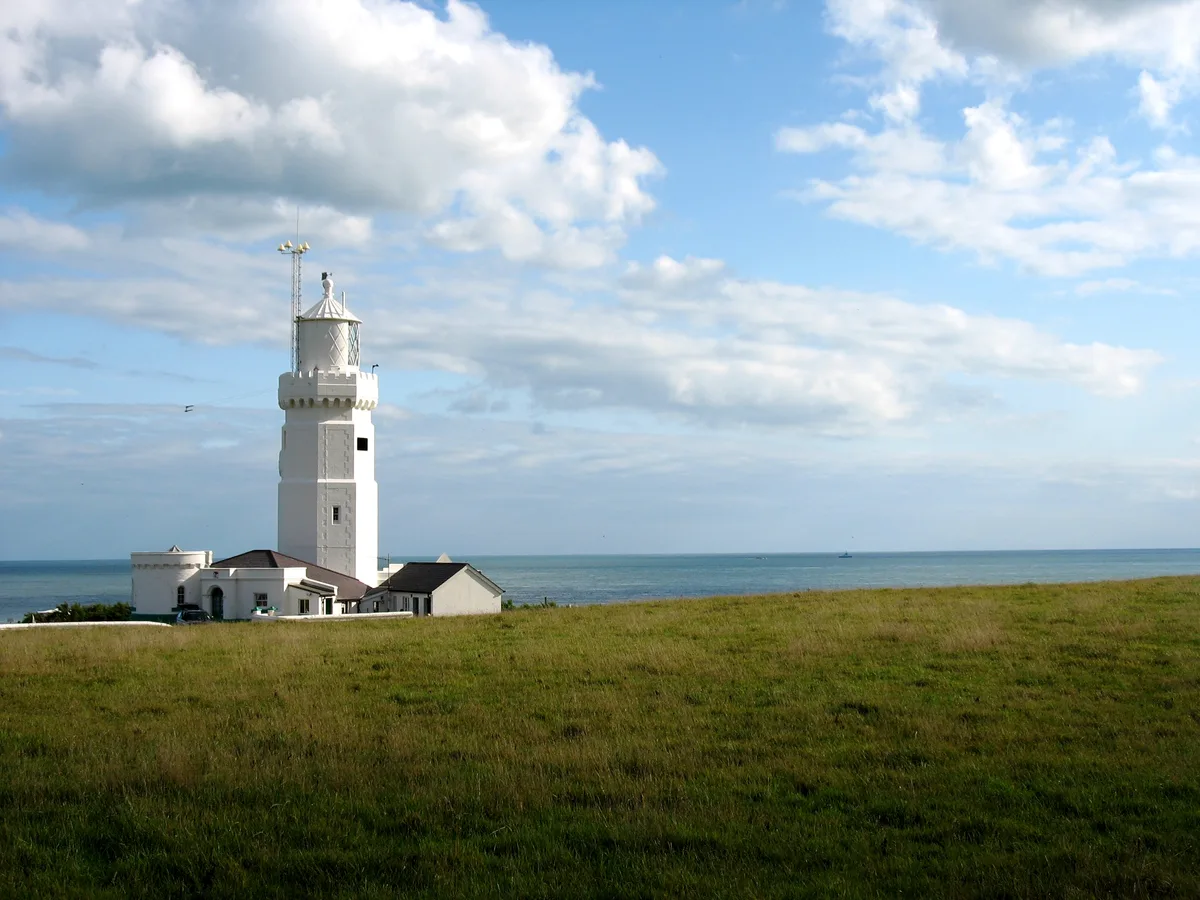
St. Catherine's Lighthouse
St. Catherine's Lighthouse — lighthouse on the southernmost point of the Isle of Wight, England, UK.
 📷 5
📷 5Viewpoints · South East England
Blackgang Viewpoint
Blackgang Viewpoint is a viewpoint in the United Kingdom.
 📷 5
📷 5Beaches · South East England
Rocken End Beach
Rocken End Beach is a beach in the United Kingdom.
 ★ Iconic📷 10
Family attractions · South East England
Blackgang Chine
The UK's oldest amusement park, opened on the Isle of Wight in 1843.
 📷 5
📷 5Theme parks · South East England
Blackgang Chine Theme Park
Blackgang Chine Theme Park — a theme park in england-south-east, United Kingdom.
 📷 5
📷 5Public art & sculpture · South East England
The Smuggler
The Smuggler — a public art in england-south-east, United Kingdom.
More mountains in this region
 📷 5
📷 5Mountains & hills · South East England
Alum Bay
Alum Bay is a mountain or hill in the United Kingdom.
 📷 5
📷 5Mountains & hills · South East England
Arish Mell
Arish Mell — bay in Dorset, England.
 📷 5
📷 5Mountains & hills · South East England
Balaclava Bay
Balaclava Bay — bay in Dorset, England.
 📷 5
📷 5Mountains & hills · South East England
Balch Cave
Balch Cave — Cave in Somerset, England.
Frequently asked questions
- Where is Watershoot Bay?
- Watershoot Bay is in South-East England, United Kingdom (postcode PO38 2NF), in the parish of Niton and Whitwell.
- Is Watershoot Bay a protected site?
- Yes — Watershoot Bay is part of the Compton Chine to Steephill Cove SSSI Site of Special Scientific Interest and the Isle Of Wight National Landscape (AONB).
- Is Watershoot Bay free to visit?
- Yes, Watershoot Bay is free to enter.
- How do I get to Watershoot Bay?
- Drivers can navigate to postcode PO38 2NF. It sits within the Isle of Wight West parliamentary constituency.