Museums · South West England
Watchet
Watchet is a harbour town and civil parish in Somerset, England. It is situated 15 miles (24 km) west of Bridgwater, 15 miles (24 km) north-west of Taunton, and 9 miles (14 km) east of Minehead. The t

Kevin Pearson — CC BY-SA 2.0 via Wikimedia Commons licence
Plan your visit
- Typical visit
- 1.5 h–3 h
- Best time of year
- Year-round
- Family-friendly
- Limited wheelchair access
About
Watchet is a harbour town and civil parish in Somerset, England. It is situated 15 miles (24 km) west of Bridgwater, 15 miles (24 km) north-west of Taunton, and 9 miles (14 km) east of Minehead. The town lies at the mouth of the Washford River on Bridgwater Bay, part of the Bristol Channel, and on the edge of Exmoor National Park. At the 2021 census, the parish had a population of 3,948. The original settlement may have been at the Iron Age fort, Daw's Castle. It then moved to the mouth of the river and a small harbour developed. After the Saxon conquest of the area the town developed, becoming known as Weced or Waeced, and was attacked by Vikings in the 10th century. Trade using the harbour gradually grew, despite damage during several severe storms, with import and exports of goods including those from Wansbrough Paper Mill until the 19th century when it increased with the export of iron ore, brought from the Brendon Hills via the West Somerset Mineral Railway, mainly to Newport for onward transportation to the Ebbw Vale Steelworks. The West Somerset Railway also served the town and port bringing goods and people from the Bristol and Exeter Railway. The iron ore trade reduced, finally ceasing in the early 20th century. The port continued a smaller commercial trade until 2000 when it was converted into a marina. In 2016, Watchet joined the rest of West Somerset in receiving 'Opportunity Area' status. The church is dedicated to Saint Decuman who is thought to have died here
Photo gallery
From the Wikipedia article
Watchet is a harbour town and civil parish in Somerset, England. It is situated 15 miles (24 km) west of Bridgwater, 15 miles (24 km) north-west of Taunton, and 9 miles (14 km) east of Minehead. The town lies at the mouth of the Washford River on Bridgwater Bay, part of the Bristol Channel, and on the edge of Exmoor National Park. At the 2021 census, the parish had a population of 3,948. The original settlement may have been at the Iron Age fort, Daw's Castle. It then moved to the mouth of the river and a small harbour developed. After the Saxon conquest of the area the town developed, becoming known as Weced or Waeced, and was attacked by Vikings in the 10th century. Trade using the harbour gradually grew, despite damage during several severe storms, with import and exports of goods including those from Wansbrough Paper Mill until the 19th century when it increased with the export of iron ore, brought from the Brendon Hills via the West Somerset Mineral Railway, mainly to Newport for onward transportation to the Ebbw Vale Steelworks. The West Somerset Railway also served the town and port bringing goods and people from the Bristol and Exeter Railway. The iron ore trade reduced, finally ceasing in the early 20th century. The port continued a smaller commercial trade until 2000 when it was converted into a marina. In 2016, Watchet joined the rest of West Somerset in receiving 'Opportunity Area' status. The church is dedicated to Saint Decuman who is thought to have died here around 706. An early church was built near Daw's Castle and a new church was erected in the 15th century. It has several tombs and monuments to Sir John Wyndham and his family who were the lords of the manor. Samuel Taylor Coleridge's poem The Rime of the Ancient Mariner, which was written in the area, is commemorated by a statue on the harbourside. East Quay Watchet is a purpose-built art gallery and arts centre that opened in 2021.
Excerpt from Wikipedia under CC BY-SA 4.0. See the source article linked in Sources below.
Background
History
Daw's Castle (Dart's Castle or Dane's Castle) is an Iron Age sea cliff hill fort about 0.5 mi to the west of the town. It was built and fortified, on the site of an earlier settlement, as a burh by Alfred the Great, as part of his defences against Viking raids from the Bristol Channel around 878 AD. It is situated on an east–west cliff about 80 m above the sea, on a tapering spur of land bounded by the Washford River to the south. Its ramparts would have formed a semicircle backing on to the sheer cliffs, but only about 300 m are visible today. A Saxon mint was established here in 1035, probably within the fort. It is a scheduled monument. There is no sign of Roman occupation, but the…
Sourced from Wikipedia under CC BY-SA 4.0.
- Coordinates
- 51.1795, -3.3242
- District
- Somerset
- Parish
- Watchet
- Postcode
- TA23 0DL
- Parliamentary constituency
- Tiverton and Minehead
Sources
- wikipedia: Watchet (CC BY-SA 4.0)
Other places nearby
Loading nearby places…
Nearby
 📷 3
📷 3Memorials & monuments · South West England
Watchet War Memorial
Watchet War Memorial — a memorial in england-south-west, United Kingdom.
 📷 3
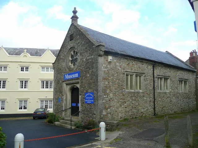
📷 3Museums · South West England
Watchet Boat Museum
Watchet Boat Museum — a museum in england-south-west, United Kingdom.
 📷 5
📷 5Museums · South West England
Watchet railway station
Watchet railway station is a station on the West Somerset Railway, a heritage railway in Somerset, England. It is situated in the small harbour town of Watchet.
 📷 3
📷 3Historic bridges · South West England
Swain Street
Swain Street is a historic bridge in the United Kingdom.
 📷 3
📷 3Public art & sculpture · South West England
Yankee Jack
Yankee Jack — a public art in england-south-west, United Kingdom.
 📷 3
📷 3Museums · South West England
The Radio Museum
The Radio Museum — a museum in england-south-west, United Kingdom.
More museums in this region
 📷 5
📷 5Museums · South West England
Allhallows Museum
Allhallows Museum — museum in Honiton, Devon, England, United Kingdom.
 📷 5
📷 5Museums · South West England
Axe Valley Heritage Museum
Axe Valley Heritage Museum — museum in Seaton, England, UK.
 📷 5
📷 5Museums · South West England
Bakelite Museum
Bakelite Museum is a museum in the United Kingdom.
 📷 5
📷 5Museums · South West England
Barometer World
Barometer World — former museum in Devon, England.
Frequently asked questions
- Where is Watchet?
- Watchet is in South West England, in the United Kingdom — coordinates 51.1795°, -3.3242°.
- Is Watchet wheelchair accessible?
- Partially — OpenStreetMap notes limited wheelchair access at Watchet. Check ahead for specific facilities.